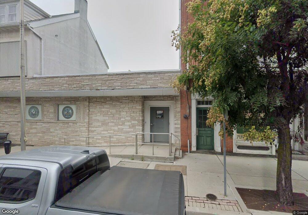
11 W King St Littlestown, PA 17340
Estimated Value: $291,502
--
Bed
--
Bath
--
Sq Ft
0.39
Acres
About This Home
This home is located at 11 W King St, Littlestown, PA 17340 and is currently estimated at $291,502. 11 W King St is a home located in Adams County with nearby schools including Rolling Acres El School, Maple Avenue Middle School, and Littlestown Senior High School.
Ownership History
Date
Name
Owned For
Owner Type
Purchase Details
Closed on
Aug 4, 2022
Sold by
Pvt Allen J Beck Jr Vfw Post No 5265
Bought by
Calderone Group Llc
Current Estimated Value
Purchase Details
Closed on
Sep 10, 2018
Sold by
Littlestown Home Assoc
Bought by
Usa Vfw
Purchase Details
Closed on
Aug 1, 1952
Bought by
Mason & Dixon Memorial Post
Create a Home Valuation Report for This Property
The Home Valuation Report is an in-depth analysis detailing your home's value as well as a comparison with similar homes in the area
Home Values in the Area
Average Home Value in this Area
Purchase History
| Date | Buyer | Sale Price | Title Company |
|---|---|---|---|
| Calderone Group Llc | $250,000 | Cga Law Firm | |
| Usa Vfw | -- | -- | |
| Mason & Dixon Memorial Post | -- | -- |
Source: Public Records
Tax History Compared to Growth
Tax History
| Year | Tax Paid | Tax Assessment Tax Assessment Total Assessment is a certain percentage of the fair market value that is determined by local assessors to be the total taxable value of land and additions on the property. | Land | Improvement |
|---|---|---|---|---|
| 2025 | $9,084 | $395,200 | $69,000 | $326,200 |
| 2024 | $8,755 | $395,200 | $69,000 | $326,200 |
| 2023 | $8,990 | $422,200 | $69,000 | $353,200 |
| 2022 | $8,936 | $422,200 | $69,000 | $353,200 |
| 2021 | $8,671 | $422,200 | $69,000 | $353,200 |
| 2020 | $8,568 | $422,200 | $33,400 | $388,800 |
| 2019 | $8,311 | $422,200 | $62,600 | $359,600 |
| 2018 | $8,159 | $422,200 | $62,600 | $359,600 |
| 2017 | $7,950 | $422,200 | $62,600 | $359,600 |
| 2016 | -- | $422,200 | $62,600 | $359,600 |
| 2015 | -- | $422,200 | $62,600 | $359,600 |
| 2014 | -- | $422,200 | $62,600 | $359,600 |
Source: Public Records
Map
Nearby Homes
- 3 W King St
- 1 W King St
- 1 W King St
- 17 W King St
- 0 Pizza Delivery Unit PAAD2008530
- 21 W King St
- 1 N Queen St
- 0 N Queen St
- 2 E King St
- 0 W King St Unit 1001366976
- 18 W King St
- 27 W King St
- 27 W King St Unit D
- 6 E King St
- 28 N Queen St
- 20 W King St Unit 1
- 28 1/2 1/2 W King St
- 29 W King St
- 10 E King St