Estimated Value: $911,920 - $1,000,000
3
Beds
2
Baths
2,608
Sq Ft
$363/Sq Ft
Est. Value
About This Home
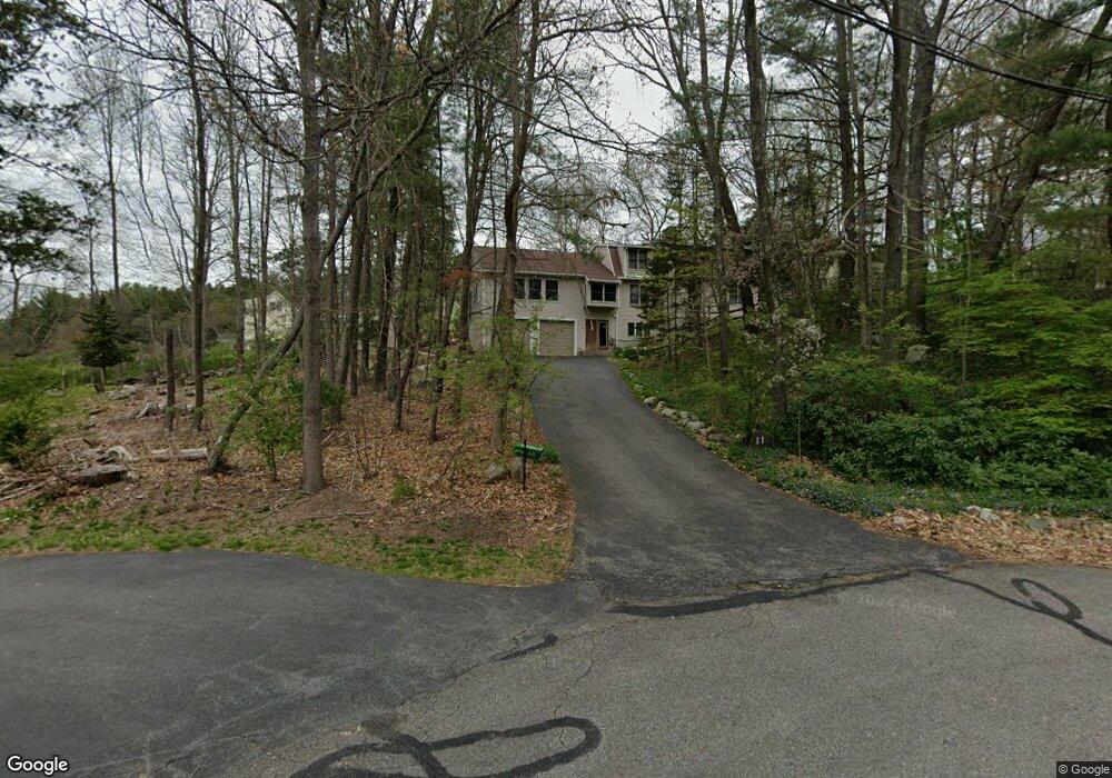
This home is located at 11 Wachusett Dr, Acton, MA 01720 and is currently estimated at $946,980, approximately $363 per square foot. 11 Wachusett Dr is a home located in Middlesex County with nearby schools including Acton-Boxborough Regional High School.
Ownership History
Date
Name
Owned For
Owner Type
Purchase Details
Closed on
Jun 28, 1991
Sold by
Downey Heather B and Downey Joseph L
Bought by
Berkovich Alexander N and Berkovich Anna
Current Estimated Value
Home Financials for this Owner
Home Financials are based on the most recent Mortgage that was taken out on this home.
Original Mortgage
$172,900
Interest Rate
9.44%
Mortgage Type
Purchase Money Mortgage
Create a Home Valuation Report for This Property
The Home Valuation Report is an in-depth analysis detailing your home's value as well as a comparison with similar homes in the area
Home Values in the Area
Average Home Value in this Area
Purchase History
| Date | Buyer | Sale Price | Title Company |
|---|---|---|---|
| Berkovich Alexander N | $188,000 | -- |
Source: Public Records
Mortgage History
| Date | Status | Borrower | Loan Amount |
|---|---|---|---|
| Open | Berkovich Alexander N | $75,000 | |
| Closed | Berkovich Alexander N | $38,000 | |
| Closed | Berkovich Alexander N | $170,000 | |
| Closed | Berkovich Alexander N | $172,900 |
Source: Public Records
Tax History Compared to Growth
Tax History
| Year | Tax Paid | Tax Assessment Tax Assessment Total Assessment is a certain percentage of the fair market value that is determined by local assessors to be the total taxable value of land and additions on the property. | Land | Improvement |
|---|---|---|---|---|
| 2025 | $14,384 | $838,700 | $313,700 | $525,000 |
| 2024 | $13,503 | $810,000 | $313,700 | $496,300 |
| 2023 | $13,309 | $757,900 | $285,000 | $472,900 |
| 2022 | $12,536 | $644,500 | $247,800 | $396,700 |
| 2021 | $11,515 | $569,200 | $229,300 | $339,900 |
| 2020 | $10,951 | $569,200 | $229,300 | $339,900 |
| 2019 | $11,153 | $575,800 | $229,300 | $346,500 |
| 2018 | $10,895 | $562,200 | $229,300 | $332,900 |
| 2017 | $10,493 | $550,500 | $229,300 | $321,200 |
| 2016 | $9,853 | $512,400 | $229,300 | $283,100 |
| 2015 | $9,592 | $503,500 | $229,300 | $274,200 |
| 2014 | $9,523 | $489,600 | $229,300 | $260,300 |
Source: Public Records
Map
Nearby Homes
- 4 Huron Rd
- 31 Mohawk Dr
- 9 Elm St Unit 1
- 5 Elm St Unit 1
- 285 Central St Unit 285
- 4 Omega Way
- 134 Russet Ln
- 68 Macintosh Ln
- 89 Windsor Ave
- 777 Depot Rd
- 62 Waite Rd
- 92 Willow St Unit 3
- 92 Willow St Unit 2
- 90 Willow St Unit 1
- 305 Harwood Ave
- 4,7,8 Crestwood Ln
- 30 Paul Revere Rd
- 23 John Swift Rd
- 96 Cedarwood Rd
- Lot 2 Strawberry Farm