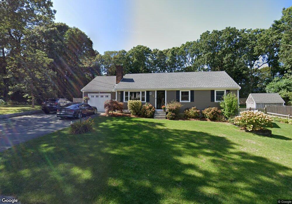
11 Waggon Rd Yarmouth Port, MA 02675
Yarmouth Port NeighborhoodEstimated Value: $582,000 - $765,000
3
Beds
2
Baths
1,344
Sq Ft
$497/Sq Ft
Est. Value
About This Home
This home is located at 11 Waggon Rd, Yarmouth Port, MA 02675 and is currently estimated at $668,261, approximately $497 per square foot. 11 Waggon Rd is a home located in Barnstable County with nearby schools including Dennis-Yarmouth Regional High School and St. Pius X. School.
Ownership History
Date
Name
Owned For
Owner Type
Purchase Details
Closed on
Dec 28, 2023
Sold by
Cavatorta David J
Bought by
David J Cavatorta Lt and Cavatorta
Current Estimated Value
Purchase Details
Closed on
Feb 25, 2021
Sold by
Cavatorta John F and Cavatorta Carol L
Bought by
Cavatorta David J
Home Financials for this Owner
Home Financials are based on the most recent Mortgage that was taken out on this home.
Original Mortgage
$270,000
Interest Rate
2.73%
Mortgage Type
New Conventional
Create a Home Valuation Report for This Property
The Home Valuation Report is an in-depth analysis detailing your home's value as well as a comparison with similar homes in the area
Home Values in the Area
Average Home Value in this Area
Purchase History
| Date | Buyer | Sale Price | Title Company |
|---|---|---|---|
| David J Cavatorta Lt | -- | None Available | |
| Cavatorta David J | -- | None Available |
Source: Public Records
Mortgage History
| Date | Status | Borrower | Loan Amount |
|---|---|---|---|
| Previous Owner | Cavatorta David J | $270,000 |
Source: Public Records
Tax History Compared to Growth
Tax History
| Year | Tax Paid | Tax Assessment Tax Assessment Total Assessment is a certain percentage of the fair market value that is determined by local assessors to be the total taxable value of land and additions on the property. | Land | Improvement |
|---|---|---|---|---|
| 2025 | $3,894 | $550,000 | $169,700 | $380,300 |
| 2024 | $3,676 | $498,100 | $147,600 | $350,500 |
| 2023 | $3,619 | $446,200 | $134,100 | $312,100 |
| 2022 | $3,794 | $413,300 | $128,000 | $285,300 |
| 2021 | $3,554 | $371,800 | $128,000 | $243,800 |
| 2020 | $3,543 | $354,300 | $135,400 | $218,900 |
| 2019 | $3,277 | $324,500 | $135,400 | $189,100 |
| 2018 | $3,107 | $301,900 | $112,800 | $189,100 |
| 2017 | $3,025 | $301,900 | $112,800 | $189,100 |
| 2016 | $2,806 | $281,200 | $103,800 | $177,400 |
| 2015 | $2,629 | $261,900 | $99,300 | $162,600 |
Source: Public Records
Map
Nearby Homes
- 44 Stratford Ln
- 86 Pompano Rd
- 43 Canterbury Rd
- 34 Kates Path
- 34 Kates Path Unit 34
- 6 Nimble Hill Dr
- 64 Kates Path
- 17 Kates Path Unit A
- 228 Kates Path
- 25 Oak Glen Village Unit 25
- 25 Oak Glen
- 1 Barnacle Rd
- 50 John Hall Cartway
- 50 John Hall Cartway Unit 50
- 42 John Hall Cartway Unit 42
- 111 Merchant Ave
- 7 Forest Gate Unit 7
- 2 Pine Grove
- 59 Main St Unit 19-2
- 59 Route 6a Unit 29-4