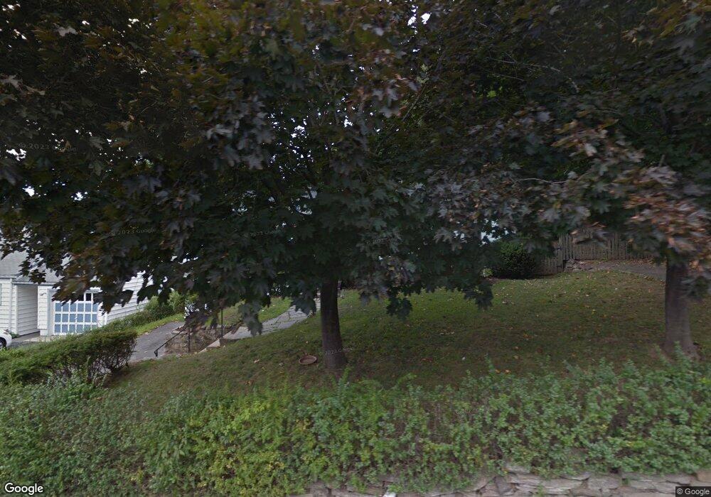
11 Wakenor Rd Westport, CT 06880
Staples NeighborhoodEstimated Value: $868,000 - $1,303,000
3
Beds
2
Baths
1,489
Sq Ft
$723/Sq Ft
Est. Value
About This Home
This home is located at 11 Wakenor Rd, Westport, CT 06880 and is currently estimated at $1,077,165, approximately $723 per square foot. 11 Wakenor Rd is a home located in Fairfield County with nearby schools including Long Lots School, Bedford Middle School, and Staples High School.
Ownership History
Date
Name
Owned For
Owner Type
Purchase Details
Closed on
Jul 5, 2018
Sold by
Mccarthy Nancy E
Bought by
Mitchell Paul and Mitchell Joanna
Current Estimated Value
Purchase Details
Closed on
Jun 15, 2004
Sold by
Duffy Barbara L
Bought by
Mccarthy Nancy Ellen
Home Financials for this Owner
Home Financials are based on the most recent Mortgage that was taken out on this home.
Original Mortgage
$518,400
Interest Rate
5.85%
Create a Home Valuation Report for This Property
The Home Valuation Report is an in-depth analysis detailing your home's value as well as a comparison with similar homes in the area
Home Values in the Area
Average Home Value in this Area
Purchase History
| Date | Buyer | Sale Price | Title Company |
|---|---|---|---|
| Mitchell Paul | $540,000 | -- | |
| Mitchell Paul | $540,000 | -- | |
| Mccarthy Nancy Ellen | $576,000 | -- | |
| Mccarthy Nancy Ellen | $576,000 | -- |
Source: Public Records
Mortgage History
| Date | Status | Borrower | Loan Amount |
|---|---|---|---|
| Previous Owner | Mccarthy Nancy Ellen | $519,000 | |
| Previous Owner | Mccarthy Nancy Ellen | $518,400 |
Source: Public Records
Tax History Compared to Growth
Tax History
| Year | Tax Paid | Tax Assessment Tax Assessment Total Assessment is a certain percentage of the fair market value that is determined by local assessors to be the total taxable value of land and additions on the property. | Land | Improvement |
|---|---|---|---|---|
| 2025 | $7,023 | $372,400 | $272,800 | $99,600 |
| 2024 | $6,934 | $372,400 | $272,800 | $99,600 |
| 2023 | $6,834 | $372,400 | $272,800 | $99,600 |
| 2022 | $6,729 | $372,400 | $272,800 | $99,600 |
| 2021 | $6,587 | $372,400 | $272,800 | $99,600 |
| 2020 | $6,462 | $330,600 | $245,900 | $84,700 |
| 2019 | $5,574 | $330,600 | $245,900 | $84,700 |
| 2018 | $6,302 | $330,600 | $245,900 | $84,700 |
| 2017 | $6,175 | $330,600 | $245,900 | $84,700 |
| 2016 | $5,574 | $330,600 | $245,900 | $84,700 |
| 2015 | $5,650 | $312,300 | $198,000 | $114,300 |
| 2014 | $5,603 | $312,300 | $198,000 | $114,300 |
Source: Public Records
Map
Nearby Homes
- 785 Post Rd E Unit 301
- 785 Post Rd E Unit 303
- 785 Post Rd E Unit 302
- 785 Post Rd E Unit 201
- 785 Post Rd E Unit 304
- 785 Post Rd E Unit 102
- 785 Post Rd E Unit 104
- 4 Burr Farms Rd
- 9 Burr Farms Rd
- 7 Morningside Ln
- 20 Morningside Dr S
- 26 Morningside Dr S
- 22 Morningside Dr S
- 14 Burr School Rd
- 32 Webb Rd
- 16 Burr School Rd
- 25 Ellery Ln
- 26 Crescent Park Rd
- 28 Crescent Park Rd
- 9 Crescent Park Rd