11 Waltham Rd Plymouth, MA 02360
Estimated Value: $771,000 - $865,000
3
Beds
2
Baths
3,042
Sq Ft
$265/Sq Ft
Est. Value
About This Home
This home is located at 11 Waltham Rd, Plymouth, MA 02360 and is currently estimated at $806,614, approximately $265 per square foot. 11 Waltham Rd is a home located in Plymouth County with nearby schools including Manomet Elementary School, Plymouth Community Intermediate, and Plymouth North High School.
Ownership History
Date
Name
Owned For
Owner Type
Purchase Details
Closed on
Aug 25, 2025
Sold by
Clark David R and Clark Lee A
Bought by
Drclac Nt and Clark
Current Estimated Value
Purchase Details
Closed on
May 11, 1995
Sold by
Pond Julie I and Pond Timothy S
Bought by
Clark David and Clark Lee A
Create a Home Valuation Report for This Property
The Home Valuation Report is an in-depth analysis detailing your home's value as well as a comparison with similar homes in the area
Home Values in the Area
Average Home Value in this Area
Purchase History
| Date | Buyer | Sale Price | Title Company |
|---|---|---|---|
| Drclac Nt | -- | -- | |
| Drclac Nt | -- | -- | |
| Clark David | $65,000 | -- | |
| Clark David | $65,000 | -- |
Source: Public Records
Mortgage History
| Date | Status | Borrower | Loan Amount |
|---|---|---|---|
| Previous Owner | Clark David | $234,500 | |
| Previous Owner | Clark David | $53,000 | |
| Previous Owner | Clark David | $25,000 |
Source: Public Records
Tax History Compared to Growth
Tax History
| Year | Tax Paid | Tax Assessment Tax Assessment Total Assessment is a certain percentage of the fair market value that is determined by local assessors to be the total taxable value of land and additions on the property. | Land | Improvement |
|---|---|---|---|---|
| 2025 | $7,195 | $567,000 | $203,800 | $363,200 |
| 2024 | $6,673 | $518,500 | $185,500 | $333,000 |
| 2023 | $6,590 | $480,700 | $168,200 | $312,500 |
| 2022 | $6,138 | $397,800 | $158,600 | $239,200 |
| 2021 | $5,916 | $366,100 | $158,600 | $207,500 |
| 2020 | $5,683 | $347,600 | $144,200 | $203,400 |
| 2019 | $5,591 | $338,000 | $134,600 | $203,400 |
| 2018 | $5,373 | $326,400 | $125,000 | $201,400 |
| 2017 | $5,120 | $308,800 | $125,000 | $183,800 |
| 2016 | $4,866 | $299,100 | $115,300 | $183,800 |
| 2015 | $4,594 | $295,600 | $110,500 | $185,100 |
| 2014 | $4,329 | $286,100 | $110,500 | $175,600 |
Source: Public Records
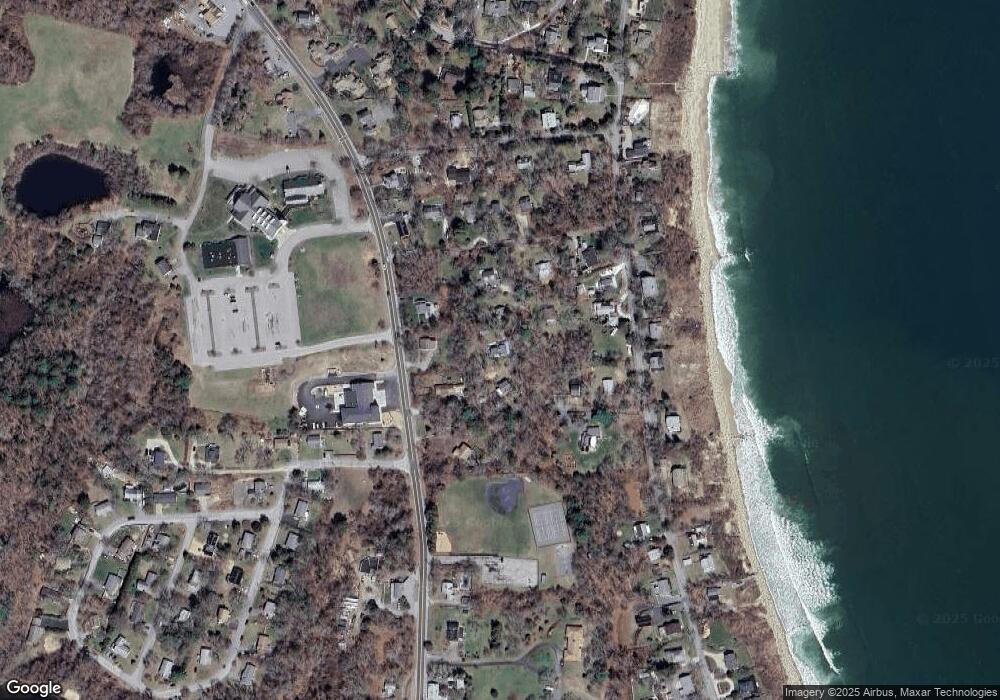
Map
Nearby Homes
- 3 Clearwater Dr
- 881 State Rd
- 61 Crescent Ave
- 38 Hawley Ave
- 38 Hawley Ave Unit 38
- 22 Presidents Ln
- 32 Ray Rd
- 84 Bartlett Rd
- 54 Manomet Point Rd
- 11 April Way
- 3 Hiawatha Rd
- 24 Highland Terrace Unit 2415
- 4 Highland Terrace Unit 403
- 583 State Rd
- 208 Manomet Point Rd
- 52 Taylor Ave
- 18 Beach St
- 127C Taylor Ave
- 115 Andrews Way
- 2 Tideview Path Unit 4
- 7 Waltham Rd
- 822 State Rd
- 818 State Rd
- 11 Brewster Ave
- 20 Bradford Ave
- 20 Bradford Ave
- 17 Brewster Ave
- 832 State Rd
- 21 Brewster Ave
- 130 Manomet Ave
- 118 Manomet Ave
- 130 Manomet Ave
- 130 Manomet Ave
- 6 Brewster Ave
- 833 State Rd
- 134 Manomet Ave
- 123 Manomet Ave
- 119 Manomet Ave
- 129 Manomet Ave
- 11 Vinal Ave