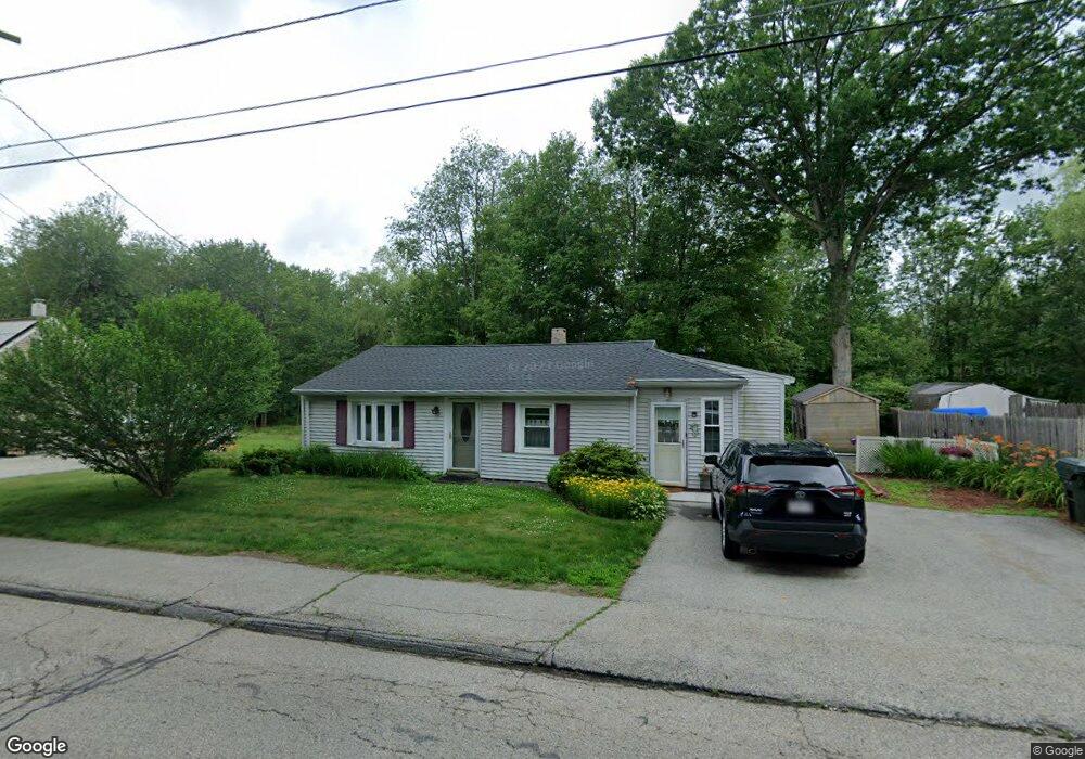
11 Warren Rd Auburn, MA 01501
West Auburn NeighborhoodEstimated Value: $347,000 - $470,000
2
Beds
2
Baths
1,048
Sq Ft
$367/Sq Ft
Est. Value
About This Home
This home is located at 11 Warren Rd, Auburn, MA 01501 and is currently estimated at $384,394, approximately $366 per square foot. 11 Warren Rd is a home located in Worcester County with nearby schools including Auburn Senior High School and Shrewsbury Montessori School - Auburn Campus.
Ownership History
Date
Name
Owned For
Owner Type
Purchase Details
Closed on
Feb 13, 1987
Sold by
Lambert Irene B
Bought by
Guerin Angela L
Current Estimated Value
Home Financials for this Owner
Home Financials are based on the most recent Mortgage that was taken out on this home.
Original Mortgage
$68,000
Interest Rate
9.34%
Mortgage Type
Purchase Money Mortgage
Create a Home Valuation Report for This Property
The Home Valuation Report is an in-depth analysis detailing your home's value as well as a comparison with similar homes in the area
Home Values in the Area
Average Home Value in this Area
Purchase History
| Date | Buyer | Sale Price | Title Company |
|---|---|---|---|
| Guerin Angela L | $75,000 | -- |
Source: Public Records
Mortgage History
| Date | Status | Borrower | Loan Amount |
|---|---|---|---|
| Closed | Guerin Angela L | $68,000 |
Source: Public Records
Tax History
| Year | Tax Paid | Tax Assessment Tax Assessment Total Assessment is a certain percentage of the fair market value that is determined by local assessors to be the total taxable value of land and additions on the property. | Land | Improvement |
|---|---|---|---|---|
| 2025 | $40 | $279,100 | $115,700 | $163,400 |
| 2024 | $3,968 | $265,800 | $110,700 | $155,100 |
| 2023 | $3,822 | $240,700 | $100,700 | $140,000 |
| 2022 | $3,631 | $215,900 | $100,700 | $115,200 |
| 2021 | $3,367 | $185,600 | $88,900 | $96,700 |
| 2020 | $3,344 | $186,000 | $88,900 | $97,100 |
| 2019 | $3,159 | $171,500 | $88,000 | $83,500 |
| 2018 | $2,982 | $161,700 | $82,300 | $79,400 |
| 2017 | $2,824 | $154,000 | $74,600 | $79,400 |
| 2016 | $2,871 | $158,700 | $77,700 | $81,000 |
| 2015 | $2,696 | $156,200 | $77,700 | $78,500 |
| 2014 | $2,531 | $146,400 | $74,000 | $72,400 |
Source: Public Records
Map
Nearby Homes
- 808 Washington St
- 0 Athens St
- 4 Athens St
- 49 Prospect St
- 23 Bridle Path
- 104 Appleton Rd
- 634 Oxford St S
- 751 Washington St Unit 43A
- 166 Leicester St
- 1 Crowl Hill Rd
- 8 South Terrace
- 137 South St
- 9 Santom St
- 6 George St
- 328 Oxford St N
- 19 Thayer Pond Dr Unit 3
- 17 Thayer Pond Dr Unit 2
- 12 Bylund Ave
- 24 Thayer Pond Dr Unit 17
- 32 Thayer Pond Dr Unit 17
Your Personal Tour Guide
Ask me questions while you tour the home.