11 Washington Ct Uxbridge, MA 01569
Estimated Value: $479,000 - $590,000
3
Beds
3
Baths
2,349
Sq Ft
$227/Sq Ft
Est. Value
About This Home
This home is located at 11 Washington Ct, Uxbridge, MA 01569 and is currently estimated at $534,340, approximately $227 per square foot. 11 Washington Ct is a home located in Worcester County with nearby schools including Uxbridge High School, Our Lady of the Valley Regional School, and Whitinsville Christian School.
Ownership History
Date
Name
Owned For
Owner Type
Purchase Details
Closed on
Dec 10, 2015
Sold by
Amerault James P and Amerault Janet L
Bought by
Hanscom Allan and Hanscom Jayne
Current Estimated Value
Purchase Details
Closed on
Jul 28, 2004
Sold by
Westwood Assoc Inc
Bought by
Amerault James P and Amerault Janet L
Home Financials for this Owner
Home Financials are based on the most recent Mortgage that was taken out on this home.
Original Mortgage
$125,000
Interest Rate
6.33%
Mortgage Type
Purchase Money Mortgage
Create a Home Valuation Report for This Property
The Home Valuation Report is an in-depth analysis detailing your home's value as well as a comparison with similar homes in the area
Home Values in the Area
Average Home Value in this Area
Purchase History
| Date | Buyer | Sale Price | Title Company |
|---|---|---|---|
| Hanscom Allan | $317,500 | -- | |
| Amerault James P | $322,516 | -- | |
| Westwood Assoc Inc | -- | -- |
Source: Public Records
Mortgage History
| Date | Status | Borrower | Loan Amount |
|---|---|---|---|
| Previous Owner | Amerault James P | $125,000 |
Source: Public Records
Tax History Compared to Growth
Tax History
| Year | Tax Paid | Tax Assessment Tax Assessment Total Assessment is a certain percentage of the fair market value that is determined by local assessors to be the total taxable value of land and additions on the property. | Land | Improvement |
|---|---|---|---|---|
| 2025 | $6,520 | $497,300 | $0 | $497,300 |
| 2024 | $5,817 | $450,200 | $0 | $450,200 |
| 2023 | $5,494 | $393,800 | $0 | $393,800 |
| 2022 | $5,347 | $352,700 | $0 | $352,700 |
| 2021 | $5,399 | $341,300 | $0 | $341,300 |
| 2020 | $5,315 | $317,500 | $0 | $317,500 |
| 2019 | $5,363 | $309,100 | $0 | $309,100 |
| 2018 | $5,496 | $320,100 | $0 | $320,100 |
| 2017 | $5,069 | $298,900 | $0 | $298,900 |
| 2016 | $4,732 | $269,300 | $0 | $269,300 |
| 2015 | $4,653 | $267,400 | $0 | $267,400 |
Source: Public Records
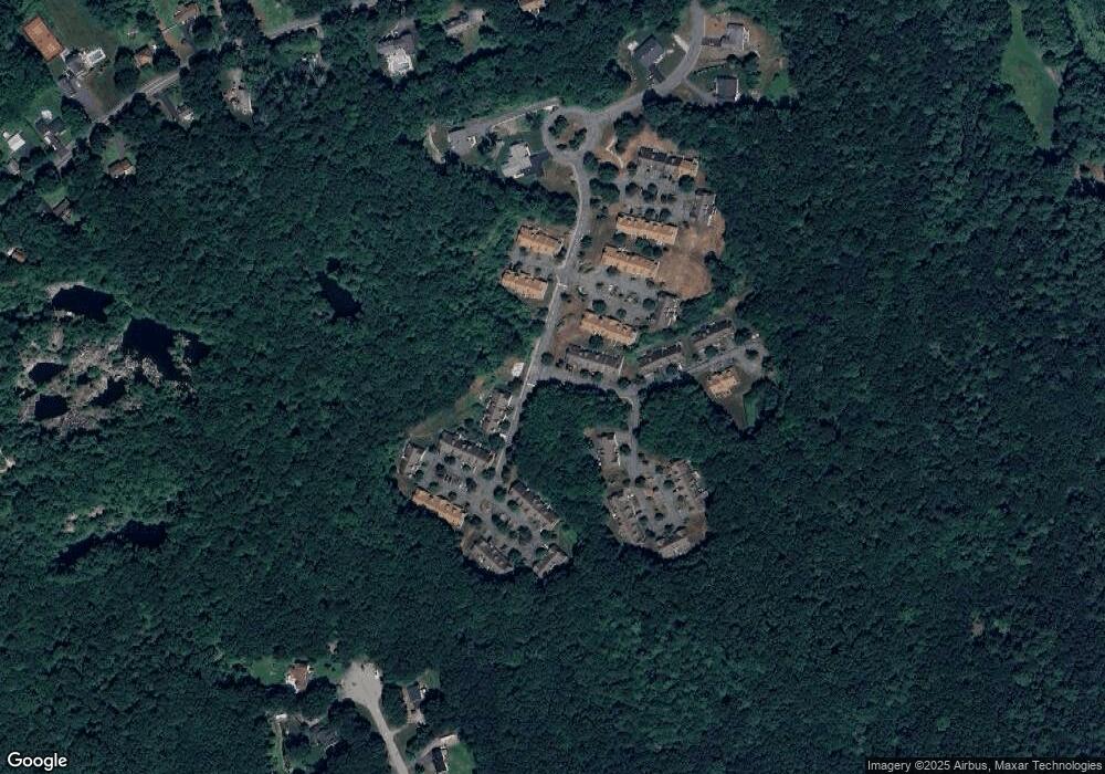
Map
Nearby Homes
- 7 Jefferson Ct Unit 7
- 60 Tyler Dr
- 0 Homestead Ave
- 36 Elm St
- 129 Elm St Unit Lot 7
- 235 Rivulet St
- 307 N Main St
- 113 Rogerson Crossing Unit 113
- 3 Strathmore Shire Unit A
- 99 Country Club Dr
- 48 Homeward Ave
- 35 Highland Park Unit 35
- 72 Homeward Ave
- Layla Plan at Pine Ridge
- Ashley Plan at Pine Ridge
- Lily Plan at Pine Ridge
- Brooklyn Plan at Pine Ridge
- Tucker Plan at Pine Ridge
- Everleigh Plan at Pine Ridge
- 50 Carrington Ln
- 11 Washington Ct Unit 11
- 9 Washington Ct
- 8 Washington Ct
- 6 Washington Ct
- 4 Washington Ct
- 2 Washington Ct
- 4 Washington Ct Unit 4
- 7 Washington Ct
- 5 Washington Ct
- 1 Washington Ct
- 3 Washington Ct
- 8 Jefferson Ct
- 6 Jefferson Ct
- 4 Jefferson Ct
- 2 Jefferson Ct
- 6 Jefferson Ct Unit 6
- 9 Jefferson Ct
- 11 Jefferson Ct
- 24 Constitution Way
- 24 Concord Ln