11 Way West Airpark Bainbridge, IN 46105
Estimated Value: $380,000 - $435,000
2
Beds
2
Baths
1,568
Sq Ft
$265/Sq Ft
Est. Value
About This Home
This home is located at 11 Way West Airpark, Bainbridge, IN 46105 and is currently estimated at $415,352, approximately $264 per square foot. 11 Way West Airpark is a home located in Putnam County with nearby schools including North Putnam Senior High School.
Ownership History
Date
Name
Owned For
Owner Type
Purchase Details
Closed on
Dec 22, 2022
Sold by
Boettjer Blaine W
Bought by
Miller Darrin Robert
Current Estimated Value
Home Financials for this Owner
Home Financials are based on the most recent Mortgage that was taken out on this home.
Original Mortgage
$200,000
Outstanding Balance
$194,140
Interest Rate
7.08%
Mortgage Type
New Conventional
Estimated Equity
$221,212
Create a Home Valuation Report for This Property
The Home Valuation Report is an in-depth analysis detailing your home's value as well as a comparison with similar homes in the area
Home Values in the Area
Average Home Value in this Area
Purchase History
| Date | Buyer | Sale Price | Title Company |
|---|---|---|---|
| Miller Darrin Robert | -- | -- |
Source: Public Records
Mortgage History
| Date | Status | Borrower | Loan Amount |
|---|---|---|---|
| Open | Miller Darrin Robert | $200,000 |
Source: Public Records
Tax History Compared to Growth
Tax History
| Year | Tax Paid | Tax Assessment Tax Assessment Total Assessment is a certain percentage of the fair market value that is determined by local assessors to be the total taxable value of land and additions on the property. | Land | Improvement |
|---|---|---|---|---|
| 2024 | $1,229 | $173,500 | $40,000 | $133,500 |
| 2023 | $989 | $152,600 | $36,300 | $116,300 |
| 2022 | $1,022 | $148,700 | $32,400 | $116,300 |
| 2021 | $2,147 | $136,000 | $30,400 | $105,600 |
| 2020 | $2,175 | $135,900 | $30,300 | $105,600 |
| 2019 | $2,116 | $141,300 | $33,000 | $108,300 |
| 2018 | $1,702 | $144,500 | $33,500 | $111,000 |
| 2017 | $1,672 | $147,600 | $34,900 | $112,700 |
| 2016 | $1,611 | $149,900 | $35,900 | $114,000 |
| 2014 | $1,694 | $155,500 | $36,800 | $118,700 |
| 2013 | $1,694 | $152,800 | $34,100 | $118,700 |
Source: Public Records
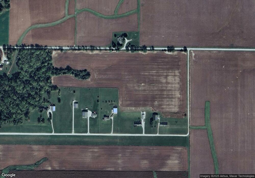
Map
Nearby Homes
- 7207 N County Rd 600 E
- 7207 N County Road 600 E
- 600 East
- 600 E Cr Rd
- 6919 E Us Highway 36
- 0000 N County Road 600 E
- 38 Lincoln Hill Dr
- 148 Lincoln Hills
- 313 Quinn St
- 660 Mill Springs
- 207 E College St
- 227 Victory Hill
- 281 Victory Hill
- 221 E Pat Rady Way
- 223 Circle Dr
- 212 E South St
- 107 E College St
- 112 E College St
- 36 Mill Springs
- 427 Mill Springs
- 11 Way West Airpark
- 11 Way West Airpark
- 12 Way West Airpark
- 10 Way West Airpark
- 9 Way West Airpark
- 8 Way West Airpark
- 5639 E County Road 800 N
- 5500 Cr 800 Rd N
- 7 Way West Airpark
- 5500 E County Road 800 N
- 6 Way West Airpark
- 5440 E County Road 800 N
- 5244 E County Road 800 N
- 3 Way West Airpark
- 2 Way West Airpark
- 6050 E County Road 800 N
- 1407 E County Road 800 N
- 0000 E County Road 800 N
- 000 E County Road 800 N
- 1 Way West Airpark