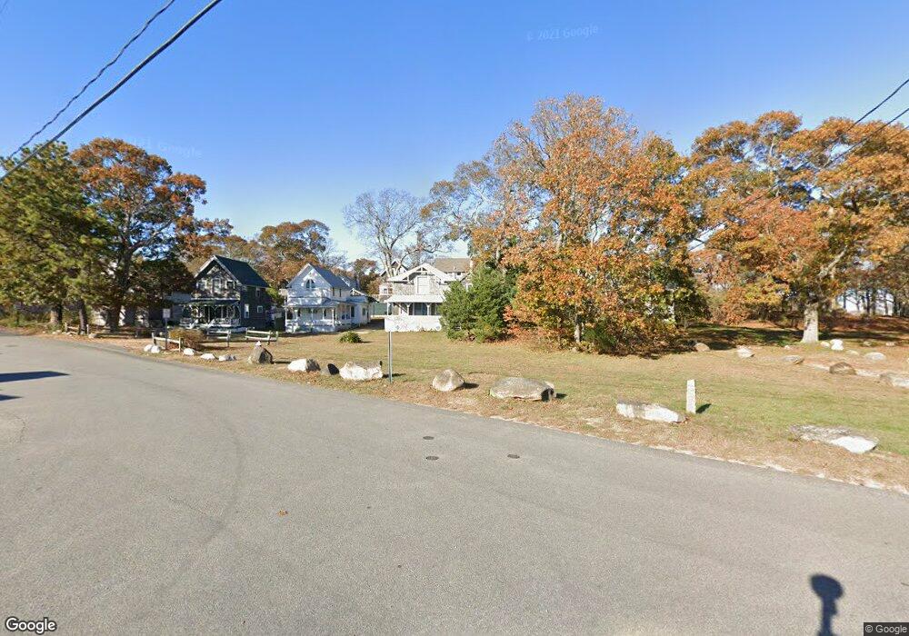
11 Wayland Ave Vineyard Haven, MA 02568
Oak Bluffs NeighborhoodEstimated Value: $1,027,000 - $1,123,000
3
Beds
1
Bath
1,000
Sq Ft
$1,061/Sq Ft
Est. Value
About This Home
This home is located at 11 Wayland Ave, Vineyard Haven, MA 02568 and is currently estimated at $1,061,033, approximately $1,061 per square foot. 11 Wayland Ave is a home located in Dukes County with nearby schools including Oak Bluffs Elementary School, Martha's Vineyard Regional High School, and Vineyard Montessori School.
Ownership History
Date
Name
Owned For
Owner Type
Purchase Details
Closed on
Jun 14, 2024
Sold by
Clancy Robert P
Bought by
Robert P Clancy Ret and Clancy
Current Estimated Value
Purchase Details
Closed on
Sep 6, 2018
Sold by
Mcmahon Jill and Mcmahon Thomas W
Bought by
Clancy Robert P
Purchase Details
Closed on
Sep 25, 2003
Sold by
Clancy Cynthia M and Mees Jill
Bought by
Clancy Cynthia M and Mees Jill
Create a Home Valuation Report for This Property
The Home Valuation Report is an in-depth analysis detailing your home's value as well as a comparison with similar homes in the area
Home Values in the Area
Average Home Value in this Area
Purchase History
| Date | Buyer | Sale Price | Title Company |
|---|---|---|---|
| Robert P Clancy Ret | -- | None Available | |
| Robert P Clancy Ret | -- | None Available | |
| Clancy Robert P | -- | -- | |
| Clancy Robert P | -- | -- | |
| General Marital T | -- | -- | |
| Clancy Cynthia M | -- | -- | |
| Clancy Robert P | -- | -- | |
| Clancy Cynthia M | -- | -- |
Source: Public Records
Tax History Compared to Growth
Tax History
| Year | Tax Paid | Tax Assessment Tax Assessment Total Assessment is a certain percentage of the fair market value that is determined by local assessors to be the total taxable value of land and additions on the property. | Land | Improvement |
|---|---|---|---|---|
| 2025 | $4,514 | $893,800 | $662,300 | $231,500 |
| 2024 | $4,424 | $845,800 | $601,900 | $243,900 |
| 2023 | $4,397 | $832,800 | $584,800 | $248,000 |
| 2022 | $4,261 | $627,600 | $440,500 | $187,100 |
| 2021 | $3,876 | $525,900 | $368,100 | $157,800 |
| 2020 | $3,694 | $496,500 | $350,600 | $145,900 |
| 2019 | $3,577 | $465,100 | $322,000 | $143,100 |
| 2018 | $3,500 | $447,000 | $303,800 | $143,200 |
| 2017 | $3,394 | $416,400 | $288,000 | $128,400 |
| 2016 | $3,313 | $408,500 | $296,900 | $111,600 |
| 2015 | $3,189 | $400,600 | $296,900 | $103,700 |
| 2014 | $3,121 | $399,600 | $288,700 | $110,900 |
Source: Public Records
Map
Nearby Homes
- 23 Laurel Ave
- 47 E Chop Dr Unit 4
- 47 E Chop Dr Unit 2
- 47 E Chop Dr Unit 3
- 47 E Chop Dr Unit 1
- 47 E Chop Dr
- 47 E Chop Dr Unit 5
- 47 E East Chop Dr Unit 5
- 17 John Wesley Ave
- 12 & 14 Maple Ave
- 10 Siloam Ave
- 9 Brunswick Ave
- 23 Circuit Avenue Extension
- 26 Hampson Ave
- 25 Hampson Ave
- 2 Lincoln Ave
- 24 School St
- 9 Wayland Ave
- 18 Plymouth Ave
- 17 Wayland Ave
- 20 Plymouth Ave
- 24 Plymouth Ave Ob538
- 24 Plymouth Ave
- 16 Plymouth Ave
- 14 Plymouth Ave
- 19 Wayland Ave
- 18 Wayland Ave
- 16 Chapman Ave
- 19 Plymouth Ave
- 17 Plymouth Park
- 17 Plymouth Ave
- 20 Wayland Ave
- 20 Wayland Ave
- 23 Plymouth Ave Unit Avenue
- 23 Plymouth Ave
- 23 Plymouth Ave
- 25 Plymouth Ave