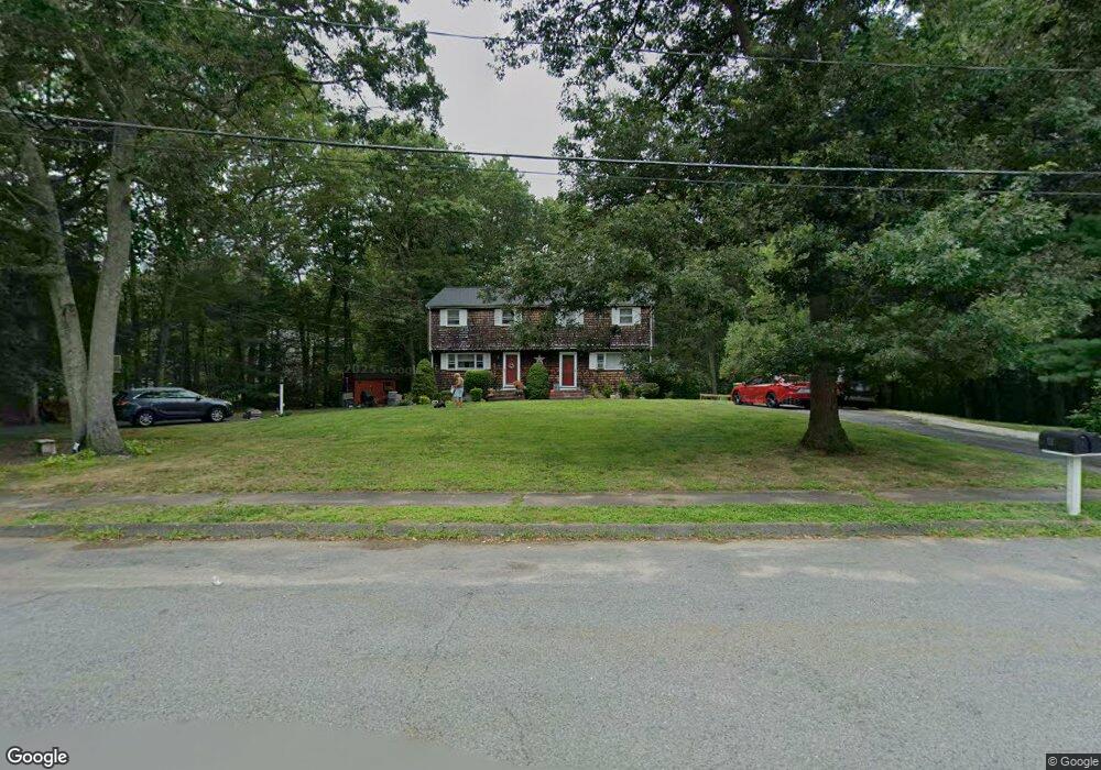
11 Wayside Dr Unit 2 Mansfield, MA 02048
Estimated Value: $375,607 - $410,000
3
Beds
2
Baths
1,144
Sq Ft
$351/Sq Ft
Est. Value
About This Home
This home is located at 11 Wayside Dr Unit 2, Mansfield, MA 02048 and is currently estimated at $401,402, approximately $350 per square foot. 11 Wayside Dr Unit 2 is a home located in Bristol County with nearby schools including Everett W. Robinson Elementary School, Jordan/Jackson Elementary School, and Harold L. Qualters Middle School.
Ownership History
Date
Name
Owned For
Owner Type
Purchase Details
Closed on
Jun 29, 1999
Sold by
Burbridge Paul A and Burbridge Yolanda
Bought by
Mcgovern Stephen G
Current Estimated Value
Home Financials for this Owner
Home Financials are based on the most recent Mortgage that was taken out on this home.
Original Mortgage
$114,000
Outstanding Balance
$30,748
Interest Rate
7.09%
Mortgage Type
Purchase Money Mortgage
Estimated Equity
$370,654
Create a Home Valuation Report for This Property
The Home Valuation Report is an in-depth analysis detailing your home's value as well as a comparison with similar homes in the area
Home Values in the Area
Average Home Value in this Area
Purchase History
| Date | Buyer | Sale Price | Title Company |
|---|---|---|---|
| Mcgovern Stephen G | $120,000 | -- |
Source: Public Records
Mortgage History
| Date | Status | Borrower | Loan Amount |
|---|---|---|---|
| Open | Mcgovern Stephen G | $114,000 |
Source: Public Records
Tax History
| Year | Tax Paid | Tax Assessment Tax Assessment Total Assessment is a certain percentage of the fair market value that is determined by local assessors to be the total taxable value of land and additions on the property. | Land | Improvement |
|---|---|---|---|---|
| 2025 | $4,268 | $324,100 | $0 | $324,100 |
| 2024 | $3,985 | $295,200 | $0 | $295,200 |
| 2023 | $3,824 | $271,400 | $0 | $271,400 |
| 2022 | $3,617 | $238,400 | $0 | $238,400 |
| 2021 | $3,450 | $224,600 | $0 | $224,600 |
| 2020 | $3,290 | $214,200 | $0 | $214,200 |
| 2019 | $3,388 | $222,600 | $0 | $222,600 |
| 2018 | $3,348 | $215,000 | $0 | $215,000 |
| 2017 | $3,229 | $215,000 | $0 | $215,000 |
| 2016 | $2,945 | $191,100 | $0 | $191,100 |
| 2015 | $2,744 | $177,000 | $0 | $177,000 |
Source: Public Records
Map
Nearby Homes
- 150 Gilbert St
- 85 Jewell St
- 14 Claire Ave
- 24 Maverick Dr
- 49 Pheasant Hill Rd
- 451R Gilbert St
- 128 Tremont St
- 115 Westfield Dr
- 2 Oak St Unit 2A
- 2 Oak St Unit 2B
- 25 Munroe Dr
- 57 Vine St
- 71 Richardson Ave
- 84 Messenger St
- 9 Coach Rd
- Lot 2 Jeffrey Dr
- Lot 5 Jeffrey Dr
- 150 John L Dietsch Blvd
- 21 Shady Ln
- 345 Richardson Ave
- 7 Wayside Dr
- 11 Wayside Dr
- 7 Wayside Dr Unit 7
- 7 Wayside Dr Unit 1
- 100 Old Farm Rd
- 96 Old Farm Rd
- 5 Wayside Dr
- 1 Wayside Dr
- 12 Wall St Unit Garage 3
- 8 Wayside Dr Unit 12
- 12 Wall St Unit 3
- 12 Wall St Unit Garage 1
- 12 Wall St Unit Garage 5
- 12 Wall St Unit 2
- 12 Wall St Unit 1
- 12 Wall St
- 84 Old Farm Rd Unit 88
- 125 Gilbert St
- 2 Wayside Dr
- 89 Old Farm Rd Unit 93
Your Personal Tour Guide
Ask me questions while you tour the home.