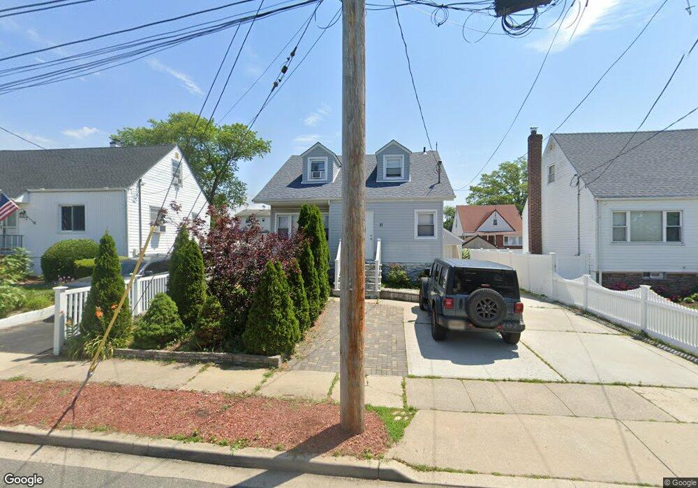
11 Westside Ave Freeport, NY 11520
Estimated Value: $513,000 - $660,219
5
Beds
2
Baths
1,365
Sq Ft
$430/Sq Ft
Est. Value
About This Home
This home is located at 11 Westside Ave, Freeport, NY 11520 and is currently estimated at $586,610, approximately $429 per square foot. 11 Westside Ave is a home located in Nassau County with nearby schools including Columbus Avenue School, Caroline G. Atkinson Intermediate School, and John W Dodd Middle School.
Ownership History
Date
Name
Owned For
Owner Type
Purchase Details
Closed on
Apr 15, 2015
Sold by
Shaool Construction Llc
Bought by
Castaneda Jose and Castaneda Tracey
Current Estimated Value
Home Financials for this Owner
Home Financials are based on the most recent Mortgage that was taken out on this home.
Original Mortgage
$322,648
Outstanding Balance
$249,549
Interest Rate
3.87%
Mortgage Type
FHA
Estimated Equity
$337,061
Purchase Details
Closed on
Oct 3, 2013
Sold by
11 Westside Avenue Llc
Bought by
Shaool Construction Llc
Create a Home Valuation Report for This Property
The Home Valuation Report is an in-depth analysis detailing your home's value as well as a comparison with similar homes in the area
Home Values in the Area
Average Home Value in this Area
Purchase History
| Date | Buyer | Sale Price | Title Company |
|---|---|---|---|
| Castaneda Jose | $328,600 | Preferred Abstract Corptatio | |
| Shaool Construction Llc | $136,000 | -- |
Source: Public Records
Mortgage History
| Date | Status | Borrower | Loan Amount |
|---|---|---|---|
| Open | Castaneda Jose | $322,648 |
Source: Public Records
Tax History Compared to Growth
Tax History
| Year | Tax Paid | Tax Assessment Tax Assessment Total Assessment is a certain percentage of the fair market value that is determined by local assessors to be the total taxable value of land and additions on the property. | Land | Improvement |
|---|---|---|---|---|
| 2025 | $7,331 | $340 | $128 | $212 |
| 2024 | $841 | $373 | $140 | $233 |
| 2023 | $8,424 | $376 | $141 | $235 |
| 2022 | $8,424 | $376 | $141 | $235 |
| 2021 | $12,753 | $360 | $135 | $225 |
| 2020 | $9,122 | $605 | $363 | $242 |
| 2019 | $8,903 | $720 | $432 | $288 |
| 2018 | $10,426 | $720 | $0 | $0 |
| 2017 | $5,548 | $461 | $432 | $29 |
| 2016 | $6,240 | $461 | $432 | $29 |
| 2015 | $701 | $485 | $432 | $53 |
| 2014 | $701 | $485 | $432 | $53 |
| 2013 | $967 | $485 | $432 | $53 |
Source: Public Records
Map
Nearby Homes
- 78 Saint Marks Ave
- 437 Ray St
- 119 S Bay Ave
- 451 Atlantic Ave
- 173 Cedar St
- 88 Elliott Place
- 16 Johnson Place
- 481 Archer St
- 306 Park Ave
- 103 Rose St
- 31 Casino St Unit PH
- 187 S Long Beach Ave
- 153 Westend Ave
- 531 Ray St Unit 10
- 523 Archer St
- 171 Westside Ave
- 116 Westend Ave Unit 8
- 116 Westend Ave Unit 21
- 116 Westend Ave Unit 6
- 280 Guy Lombardo Ave Unit 5G
- 15 Westside Ave
- 7 Westside Ave
- 54 S Bay Ave
- 23 Westside Ave
- 3 Westside Ave
- 60 S Bay Ave
- 52 S Bay Ave
- 62 S Bay Ave
- 25 Westside Ave Unit RAY
- 8 Westside Ave
- 323 Atlantic Ave
- 6 Westside Ave
- 22 Westside Ave
- 66 S Bay Ave
- Westside Ave
- 14 Westside Ave
- 2 Westside Ave
- 16 Westside Ave
- 351 Atlantic Ave
- 1 Saint Marks Ave