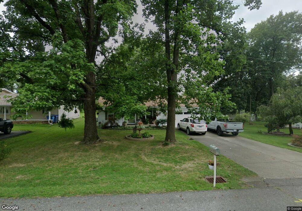
11 Westwood Dr Mount Vernon, IL 62864
Estimated Value: $152,000 - $155,627
3
Beds
2
Baths
1,470
Sq Ft
$104/Sq Ft
Est. Value
About This Home
This home is located at 11 Westwood Dr, Mount Vernon, IL 62864 and is currently estimated at $153,407, approximately $104 per square foot. 11 Westwood Dr is a home located in Jefferson County with nearby schools including J.L. Buford Intermediate Education Center, Osborne Primary Center, and Zadok Casey Middle School.
Ownership History
Date
Name
Owned For
Owner Type
Purchase Details
Closed on
Aug 2, 2019
Sold by
Sanders Roger A and Sanders Bobbie L
Bought by
Sanders Roger A and Sanders Bobbie L
Current Estimated Value
Purchase Details
Closed on
Jul 18, 2009
Sold by
Gross Clarence W and Gross April R
Bought by
Sanders Roger A
Home Financials for this Owner
Home Financials are based on the most recent Mortgage that was taken out on this home.
Original Mortgage
$35,000
Interest Rate
5.62%
Mortgage Type
Purchase Money Mortgage
Create a Home Valuation Report for This Property
The Home Valuation Report is an in-depth analysis detailing your home's value as well as a comparison with similar homes in the area
Home Values in the Area
Average Home Value in this Area
Purchase History
| Date | Buyer | Sale Price | Title Company |
|---|---|---|---|
| Sanders Roger A | -- | -- | |
| Sanders Roger A | $86,500 | None Available |
Source: Public Records
Mortgage History
| Date | Status | Borrower | Loan Amount |
|---|---|---|---|
| Previous Owner | Sanders Roger A | $35,000 |
Source: Public Records
Tax History Compared to Growth
Tax History
| Year | Tax Paid | Tax Assessment Tax Assessment Total Assessment is a certain percentage of the fair market value that is determined by local assessors to be the total taxable value of land and additions on the property. | Land | Improvement |
|---|---|---|---|---|
| 2024 | $2,320 | $38,566 | $4,730 | $33,836 |
| 2023 | $2,298 | $38,566 | $4,730 | $33,836 |
| 2022 | $2,418 | $37,054 | $3,881 | $33,173 |
| 2021 | $2,406 | $37,054 | $3,881 | $33,173 |
| 2020 | $2,058 | $31,239 | $3,627 | $27,612 |
| 2019 | $2,513 | $31,239 | $3,627 | $27,612 |
| 2018 | $2,077 | $27,032 | $3,627 | $23,405 |
| 2017 | $2,035 | $27,032 | $3,627 | $23,405 |
| 2016 | $1,977 | $27,032 | $3,627 | $23,405 |
| 2015 | $1,937 | $27,032 | $3,627 | $23,405 |
| 2014 | $1,183 | $20,584 | $3,627 | $16,957 |
| 2013 | $1,183 | $20,380 | $1,591 | $18,789 |
Source: Public Records
Map
Nearby Homes
- 417 Jay Dr
- 4211 Fox Creek Dr
- 3405 Piccadilly Ave
- 3517 Victoria Ave
- 616 Seville Dr
- 3009 Broadway St
- 811 Buffalo Ln
- 3221 Peach St
- 2906 Broadway St
- 2814 Mannen St
- 2805 College St
- 601 Nora Ln
- 2809 Cherry St
- 11455 E Richview Rd
- 0 N Potomac Blvd Unit RMAEB455575
- 2 Webster Hill St E
- 0000 Heritage Ave
- 0000 N 27th St
- 2905 Jamison Blvd
- 3112 Lime Ave