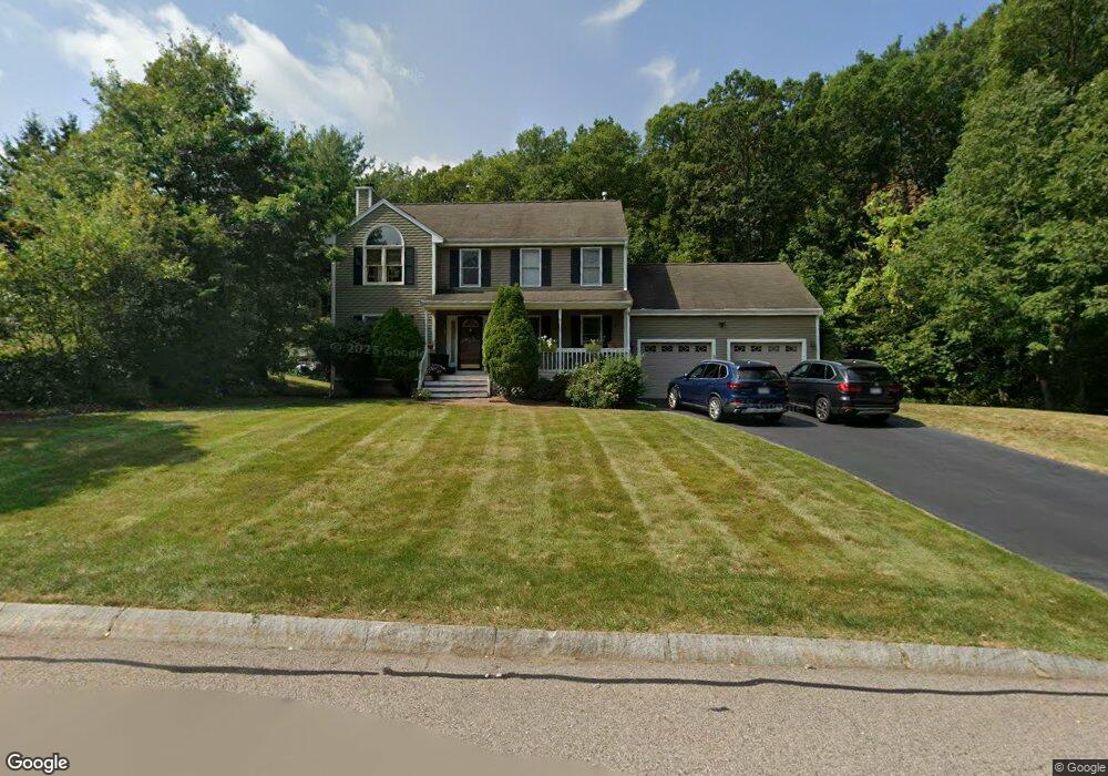
11 White Oak Way North Attleboro, MA 02760
North Attleboro NeighborhoodEstimated Value: $698,998 - $747,000
3
Beds
3
Baths
1,920
Sq Ft
$376/Sq Ft
Est. Value
About This Home
This home is located at 11 White Oak Way, North Attleboro, MA 02760 and is currently estimated at $721,750, approximately $375 per square foot. 11 White Oak Way is a home located in Bristol County with nearby schools including North Attleboro High School, Cadence Academy Preschool - North Attleborough, and Bishop Feehan High School.
Ownership History
Date
Name
Owned For
Owner Type
Purchase Details
Closed on
Nov 12, 2004
Sold by
Rukamp Daniel L and Rukamp Lori A
Bought by
Rathor Ashwani and Rathore Meenakshi
Current Estimated Value
Purchase Details
Closed on
May 29, 2003
Sold by
Rukamp Daniel L
Bought by
Rukamp Daniel L and Rukamp Lori A
Purchase Details
Closed on
Dec 26, 1997
Sold by
Safeway Dev Corp
Bought by
Rukamp Daniel L and Rose Janine S
Create a Home Valuation Report for This Property
The Home Valuation Report is an in-depth analysis detailing your home's value as well as a comparison with similar homes in the area
Home Values in the Area
Average Home Value in this Area
Purchase History
| Date | Buyer | Sale Price | Title Company |
|---|---|---|---|
| Rathor Ashwani | $439,900 | -- | |
| Rukamp Daniel L | -- | -- | |
| Rukamp Daniel L | -- | -- | |
| Rukamp Daniel L | $216,000 | -- | |
| Rathor Ashwani | $439,900 | -- | |
| Rukamp Daniel L | -- | -- | |
| Rukamp Daniel L | $216,000 | -- |
Source: Public Records
Mortgage History
| Date | Status | Borrower | Loan Amount |
|---|---|---|---|
| Open | Rukamp Daniel L | $100,000 | |
| Open | Rukamp Daniel L | $230,000 |
Source: Public Records
Tax History Compared to Growth
Tax History
| Year | Tax Paid | Tax Assessment Tax Assessment Total Assessment is a certain percentage of the fair market value that is determined by local assessors to be the total taxable value of land and additions on the property. | Land | Improvement |
|---|---|---|---|---|
| 2025 | $6,819 | $578,400 | $153,300 | $425,100 |
| 2024 | $6,791 | $588,500 | $153,300 | $435,200 |
| 2023 | $6,453 | $504,500 | $160,000 | $344,500 |
| 2022 | $6,048 | $434,200 | $153,300 | $280,900 |
| 2021 | $5,872 | $411,500 | $153,300 | $258,200 |
| 2020 | $5,797 | $404,000 | $153,300 | $250,700 |
| 2019 | $5,598 | $393,100 | $139,400 | $253,700 |
| 2018 | $5,044 | $378,100 | $139,400 | $238,700 |
| 2017 | $4,998 | $378,100 | $139,400 | $238,700 |
| 2016 | $5,058 | $382,600 | $161,600 | $221,000 |
| 2015 | $4,945 | $376,300 | $168,400 | $207,900 |
| 2014 | $4,728 | $357,100 | $147,700 | $209,400 |
Source: Public Records
Map
Nearby Homes
- 57 Vine St
- 11 Landry Ave
- 10 Sleepy Hollow Cir
- 115 Westfield Dr
- Lot 2 Jeffrey Dr
- Lot 5 Jeffrey Dr
- 16 Raymond Hall Dr
- 15 Old Wood Rd
- 11 Buckthorn Ln
- 36 Cranberry Rd
- 12 Houde St
- 116 George St
- 17 Peters Way
- 59 Laurelwood Dr
- 122 Mary Ann Way
- 546 Towne St
- 3 Serengeti Dr
- 47 Old Farm Rd
- 1730 West St
- 2 George St Unit C
- 11 White Oak Way Unit 1
- 17 Lot 17 White Oak Way
- 21 White Oak Way
- 12 White Oak Way
- 1 White Oak Way
- 31 White Oak Way
- 32 White Oak Way
- 22 White Oak Way
- 22 White Oak Way Unit 22
- 41 Red Oak Rd
- 31 Red Oak Rd
- 42 White Oak Way
- 41 White Oak Way
- 11 Blue Rock Hill Ln
- 10 White Oak Way
- 12 E Ridge Rd
- 52 White Oak Way
- 22 Blue Rock Hill Ln
- 51 White Oak Way
- 19 Red Oak Rd