11 Whyte Dr Marlow, NH 03456
Estimated Value: $252,875 - $323,000
About This Home
This home is located at 11 Whyte Dr, Marlow, NH 03456 and is currently estimated at $287,219, approximately $314 per square foot. 11 Whyte Dr is a home with nearby schools including Keene Middle School, Keene High School, and Kroka Expeditions.
Ownership History
We collect this data history from publicly available records. To have your information removed, we recommend requesting removal directly through your county’s website.
Purchase Details
Home Financials for this Owner
Home Financials are based on the most recent Mortgage that was taken out on this home.Purchase History
We collect this data history from publicly available records. To have your information removed, we recommend requesting removal directly through your county’s website.
| Date | Buyer | Sale Price | Title Company |
|---|---|---|---|
| $20,000 | -- |
Mortgage History
We collect this data history from publicly available records. To have your information removed, we recommend requesting removal directly through your county’s website.
| Date | Status | Borrower | Loan Amount |
|---|---|---|---|
| Open | $45,000 |
Tax History
We collect this data history from publicly available records. To have your information removed, we recommend requesting removal directly through your county’s website.
| Year | Tax Paid | Tax Assessment Tax Assessment Total Assessment is a certain percentage of the fair market value that is determined by local assessors to be the total taxable value of land and additions on the property. | Land | Improvement |
|---|---|---|---|---|
| 2025 | $4,761 | $252,320 | $183,300 | $69,020 |
| 2024 | $3,742 | $120,720 | $84,600 | $36,120 |
| 2023 | $3,479 | $120,720 | $84,600 | $36,120 |
| 2022 | $3,118 | $120,720 | $84,600 | $36,120 |
| 2021 | $2,983 | $120,720 | $84,600 | $36,120 |
| 2020 | $3,587 | $120,720 | $84,600 | $36,120 |
| 2019 | $3,528 | $110,520 | $75,100 | $35,420 |
| 2018 | $2,811 | $110,520 | $75,100 | $35,420 |
| 2016 | $2,428 | $110,520 | $75,100 | $35,420 |
| 2015 | $2,828 | $110,520 | $75,100 | $35,420 |
| 2014 | $3,231 | $129,600 | $88,500 | $41,100 |
| 2009 | $2,930 | $136,580 | $94,750 | $41,830 |
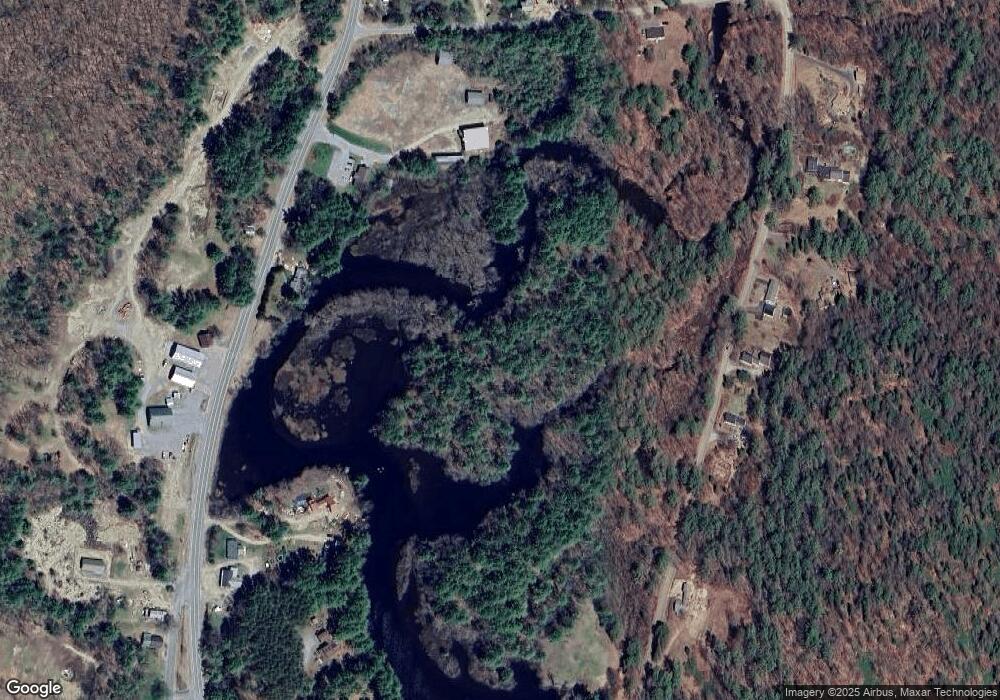
Map
- 0 Mansfield Rd Unit Map 203 Lot 70
- 70 Church St
- 648 New Hampshire 10
- 26 Baine Rd
- 367 Forest Rd
- 50 Ashuelot Acres Rd
- 0 M14 L56 Taylor Cir Unit 56
- 927 Ashueot Dr
- 178 North Rd
- 00 Rd Unit 7
- 849 Route 10
- 1046 Kings Hwy
- 968 Faxon Hill Rd
- 20 Shadowland Rd
- 359 N Hidden Lake Rd
- 381 N Hidden Lake Rd
- 648 Tigola Trail
- 0 Baine Unit 1 & 2
- 264 Olds Rd
- 151 Red Coat Ln
- 10 Whyte Dr
- 828 New Hampshire 10
- 828 Nh Route 10
- 828 Nh Route 10
- 16 Hammann Dr
- 180 Washington Pond Rd
- 124 Washington Pond Rd
- 134 Washington Pond Rd
- 829 Nh Route 10
- 142 Washington Pond Rd
- 106 Washington Pond Rd
- 20 Whyte Dr
- 150 Washington Pond Rd
- 36 Symondsville Rd
- 23 Symondsville Rd
- 15 Symondsville Rd
- 164 Washington Pond Rd
- 33 Symondsville Rd
- 860 Nh Route 10
- 790 Nh Route 10 Unit 10
Ask me questions while you tour the home.