Estimated Value: $1,150,765 - $1,330,000
4
Beds
3
Baths
2,976
Sq Ft
$409/Sq Ft
Est. Value
About This Home
This home is located at 11 Willis Holden Dr, Acton, MA 01720 and is currently estimated at $1,218,441, approximately $409 per square foot. 11 Willis Holden Dr is a home located in Middlesex County with nearby schools including Acton-Boxborough Regional High School.
Ownership History
Date
Name
Owned For
Owner Type
Purchase Details
Closed on
Jul 13, 2004
Sold by
King Marjorie E and King Philip E
Bought by
Smith Timothy L and Smith Tracey W
Current Estimated Value
Home Financials for this Owner
Home Financials are based on the most recent Mortgage that was taken out on this home.
Original Mortgage
$333,700
Outstanding Balance
$167,801
Interest Rate
6.32%
Mortgage Type
Purchase Money Mortgage
Estimated Equity
$1,050,640
Create a Home Valuation Report for This Property
The Home Valuation Report is an in-depth analysis detailing your home's value as well as a comparison with similar homes in the area
Home Values in the Area
Average Home Value in this Area
Purchase History
| Date | Buyer | Sale Price | Title Company |
|---|---|---|---|
| Smith Timothy L | $722,500 | -- |
Source: Public Records
Mortgage History
| Date | Status | Borrower | Loan Amount |
|---|---|---|---|
| Open | Smith Timothy L | $333,700 |
Source: Public Records
Tax History Compared to Growth
Tax History
| Year | Tax Paid | Tax Assessment Tax Assessment Total Assessment is a certain percentage of the fair market value that is determined by local assessors to be the total taxable value of land and additions on the property. | Land | Improvement |
|---|---|---|---|---|
| 2025 | $17,294 | $1,008,400 | $386,500 | $621,900 |
| 2024 | $16,157 | $969,200 | $386,500 | $582,700 |
| 2023 | $15,537 | $884,800 | $351,100 | $533,700 |
| 2022 | $14,722 | $756,900 | $305,600 | $451,300 |
| 2021 | $14,608 | $722,100 | $282,600 | $439,500 |
| 2020 | $13,776 | $716,000 | $282,600 | $433,400 |
| 2019 | $13,257 | $684,400 | $282,600 | $401,800 |
| 2018 | $13,002 | $670,900 | $282,600 | $388,300 |
| 2017 | $12,669 | $664,700 | $282,600 | $382,100 |
| 2016 | $12,611 | $655,800 | $282,600 | $373,200 |
| 2015 | $12,371 | $649,400 | $282,600 | $366,800 |
| 2014 | $11,946 | $614,200 | $282,600 | $331,600 |
Source: Public Records
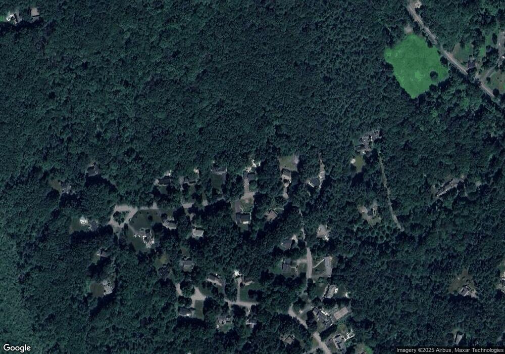
Map
Nearby Homes
- 159 Skyline Dr Unit 159
- 524 Main St
- 23 John Swift Rd
- 709 Main St
- 491 Main St
- 9 Breezy Point Rd
- 4 Omega Way
- 4 Huron Rd
- 484 Great Rd
- 484 Great Rd
- 388 Great Rd Unit B14
- 386 Great Rd Unit A8
- 390 Great Rd Unit A2
- 420 Great Rd Unit B3
- 484 Great Road -3
- 484 Great Road -4
- 484 Great Road -6
- 407 Great Rd Unit 9
- 405 Great Elm Way
- 237 Brown Bear Crossing Unit 237
- 9 Willis Holden Dr
- 15 Willis Holden Dr
- 8 Willis Holden Dr
- 10 Willis Holden Dr
- 7 Willis Holden Dr
- 17 Willis Holden Dr
- 6 Willis Holden Dr
- 14 Willis Holden Dr
- 5 Willis Holden Dr
- 19 Willis Holden Dr
- 4 Willis Holden Dr
- 15 Samuel Parlin Dr
- 16 Willis Holden Dr
- 19 Samuel Parlin Dr
- 17 Samuel Parlin Dr
- 6 Sutton Place
- 3 Willis Holden Dr
- 4 Sutton Place
- 21 Samuel Parlin Dr
- 18 Willis Holden Dr