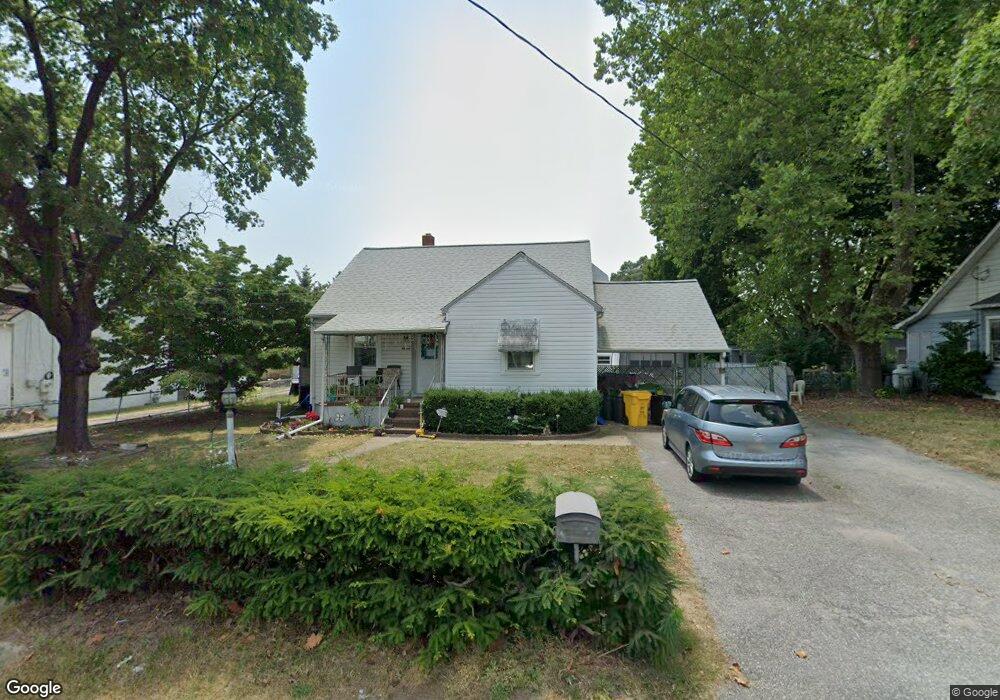
11 Wilson Blvd SW Glen Burnie, MD 21061
Estimated Value: $331,364 - $412,000
--
Bed
1
Bath
1,428
Sq Ft
$261/Sq Ft
Est. Value
About This Home
This home is located at 11 Wilson Blvd SW, Glen Burnie, MD 21061 and is currently estimated at $372,091, approximately $260 per square foot. 11 Wilson Blvd SW is a home located in Anne Arundel County with nearby schools including Richard Henry Lee Elementary School, Corkran Middle School, and Glen Burnie High School.
Ownership History
Date
Name
Owned For
Owner Type
Purchase Details
Closed on
Jun 20, 2017
Sold by
Kiessling Beth
Bought by
Kiessling Kenneth
Current Estimated Value
Home Financials for this Owner
Home Financials are based on the most recent Mortgage that was taken out on this home.
Original Mortgage
$235,858
Outstanding Balance
$195,373
Interest Rate
3.87%
Mortgage Type
FHA
Estimated Equity
$176,718
Purchase Details
Closed on
Feb 13, 2004
Sold by
Kiessling Clarence L
Bought by
Kiessling Kenneth and Kiessling Beth
Create a Home Valuation Report for This Property
The Home Valuation Report is an in-depth analysis detailing your home's value as well as a comparison with similar homes in the area
Home Values in the Area
Average Home Value in this Area
Purchase History
| Date | Buyer | Sale Price | Title Company |
|---|---|---|---|
| Kiessling Kenneth | -- | Title 365 | |
| Kiessling Kenneth | -- | -- |
Source: Public Records
Mortgage History
| Date | Status | Borrower | Loan Amount |
|---|---|---|---|
| Open | Kiessling Kenneth | $235,858 |
Source: Public Records
Tax History Compared to Growth
Tax History
| Year | Tax Paid | Tax Assessment Tax Assessment Total Assessment is a certain percentage of the fair market value that is determined by local assessors to be the total taxable value of land and additions on the property. | Land | Improvement |
|---|---|---|---|---|
| 2025 | $2,359 | $270,000 | $143,400 | $126,600 |
| 2024 | $2,359 | $256,267 | $0 | $0 |
| 2023 | $2,279 | $242,533 | $0 | $0 |
| 2022 | $2,391 | $228,800 | $123,400 | $105,400 |
| 2021 | $2,019 | $227,733 | $0 | $0 |
| 2020 | $2,019 | $226,667 | $0 | $0 |
| 2019 | $3,901 | $225,600 | $118,400 | $107,200 |
| 2018 | $2,178 | $214,800 | $0 | $0 |
| 2017 | $1,846 | $204,000 | $0 | $0 |
| 2016 | -- | $193,200 | $0 | $0 |
| 2015 | -- | $182,933 | $0 | $0 |
| 2014 | -- | $172,667 | $0 | $0 |
Source: Public Records
Map
Nearby Homes
- 19 Main Ave SW
- 107 Main Ave SW
- 207 Lincoln Ave SW
- 209 Lincoln Ave SW
- 118 Heather Stone Way Unit 80
- 707 Delmar Ave
- 715 Griffith Rd
- 100 3rd Ave SE
- 106 3rd Ave SE
- 227 Truck Farm Dr
- 267 Truck Farm Dr
- 305 Newfield Rd
- 318 Washington Blvd
- 903 Jay Ct
- 320 Washington Blvd
- 301 Newfield Rd
- 120 Kindred Way
- 1324 Ray Ln
- 308 Aquahart Rd
- 618 Stewart Ave
- 9 Wilson Blvd SW
- 15 Wilson Blvd SW
- 7 Wilson Blvd SW
- 6 Roosevelt Ave
- 4 Roosevelt Ave
- 8 Roosevelt Ave
- 12 Wilson Blvd SW
- 10 Roosevelt Ave
- 10 Wilson Blvd SW
- 2 Roosevelt Ave
- 16 Wilson Blvd SW
- 19 Wilson Blvd SW
- 12 Roosevelt Ave
- 8 Wilson Blvd SW
- 18 Wilson Blvd SW
- 600 Crain Hwy S
- 602 Crain Hwy S
- 2 Wilson Blvd SW
- 14 Roosevelt Ave
- 20 Wilson Blvd SW