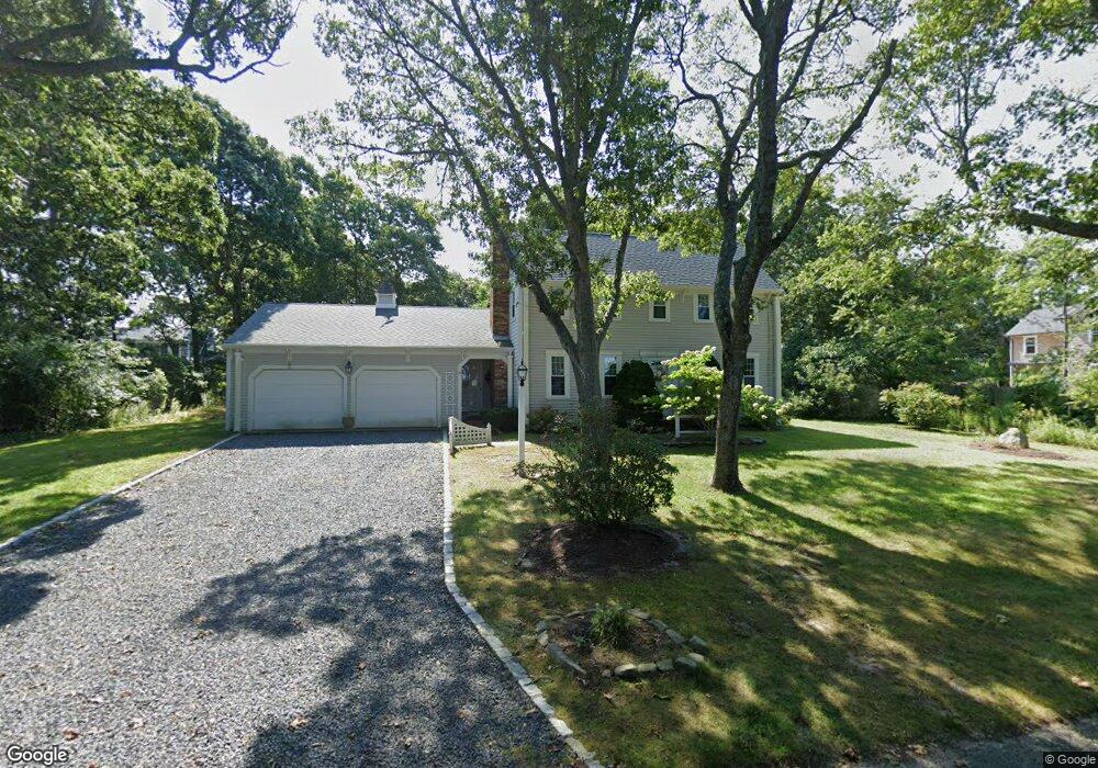
11 Windswept Path Yarmouth Port, MA 02675
Yarmouth Port NeighborhoodEstimated Value: $790,000 - $1,096,000
4
Beds
3
Baths
1,534
Sq Ft
$575/Sq Ft
Est. Value
About This Home
This home is located at 11 Windswept Path, Yarmouth Port, MA 02675 and is currently estimated at $881,919, approximately $574 per square foot. 11 Windswept Path is a home located in Barnstable County with nearby schools including Dennis-Yarmouth Regional High School, St. Pius X. School, and Trinity Christian Academy of Cape Cod.
Ownership History
Date
Name
Owned For
Owner Type
Purchase Details
Closed on
Oct 11, 2022
Sold by
Weston Dennis A and Weston Sandra L
Bought by
Weston Ft
Current Estimated Value
Purchase Details
Closed on
Jan 27, 1984
Bought by
Weston Dennis A and Weston Sandra L
Create a Home Valuation Report for This Property
The Home Valuation Report is an in-depth analysis detailing your home's value as well as a comparison with similar homes in the area
Home Values in the Area
Average Home Value in this Area
Purchase History
| Date | Buyer | Sale Price | Title Company |
|---|---|---|---|
| Weston Ft | -- | None Available | |
| Weston Dennis A | -- | -- |
Source: Public Records
Mortgage History
| Date | Status | Borrower | Loan Amount |
|---|---|---|---|
| Previous Owner | Weston Dennis A | $76,084 | |
| Previous Owner | Weston Dennis A | $64,000 |
Source: Public Records
Tax History Compared to Growth
Tax History
| Year | Tax Paid | Tax Assessment Tax Assessment Total Assessment is a certain percentage of the fair market value that is determined by local assessors to be the total taxable value of land and additions on the property. | Land | Improvement |
|---|---|---|---|---|
| 2025 | $5,906 | $834,200 | $355,900 | $478,300 |
| 2024 | $5,453 | $738,900 | $309,600 | $429,300 |
| 2023 | $5,669 | $699,000 | $282,200 | $416,800 |
| 2022 | $5,839 | $636,100 | $320,800 | $315,300 |
| 2021 | $5,688 | $595,000 | $306,100 | $288,900 |
| 2020 | $5,719 | $571,900 | $305,400 | $266,500 |
| 2019 | $5,454 | $540,000 | $305,400 | $234,600 |
| 2018 | $5,417 | $526,400 | $291,800 | $234,600 |
| 2017 | $5,194 | $518,400 | $291,800 | $226,600 |
| 2016 | $5,174 | $518,400 | $291,800 | $226,600 |
| 2015 | $5,047 | $502,700 | $291,800 | $210,900 |
Source: Public Records
Map
Nearby Homes
- 30 W Woods
- 30 W Woods Cir Unit 30
- 2 Pine Grove
- 23 Dauphine Dr
- 158 Kates Path
- 25 Oak Glen Village Unit 25
- 25 Oak Glen
- 28 Oak Glen
- 19 John Hall Cartway Unit E
- 50 John Hall Cartway
- 50 John Hall Cartway Unit 50
- 19 John Halls Cartpath Village Unit E
- 42 John Hall Cartway Unit 42
- 228 Kates Path
- 49 Rodoalph's Way
- 17 Kates Path Unit A
- 4 Spadoni Way
- 4 Spadoni Rd
- 17 Nottingham Dr
- 64 Kates Path
- 20 Whippoorwill Ln
- 17 Windswept Path
- 1 Windswept Path
- 8 Windswept Path
- 2 Shell Dr
- 26 Whippoorwill Ln
- 2 Windswept Path
- 23 Windswept Path
- 32 Whippoorwill Ln
- 7 Shell Dr
- 15 Shell Dr
- 23 Whippoorwill Ln
- 15 Whippoorwill Ln
- 19 Shell Dr
- 2 Whippoorwill Ln
- 2 Pheasant Cove Cir
- 7 Whippoorwill Ln
- 106 Pheasant Cove Cir
- 102 Pheasant Cove Cir
- 30 Windswept Path