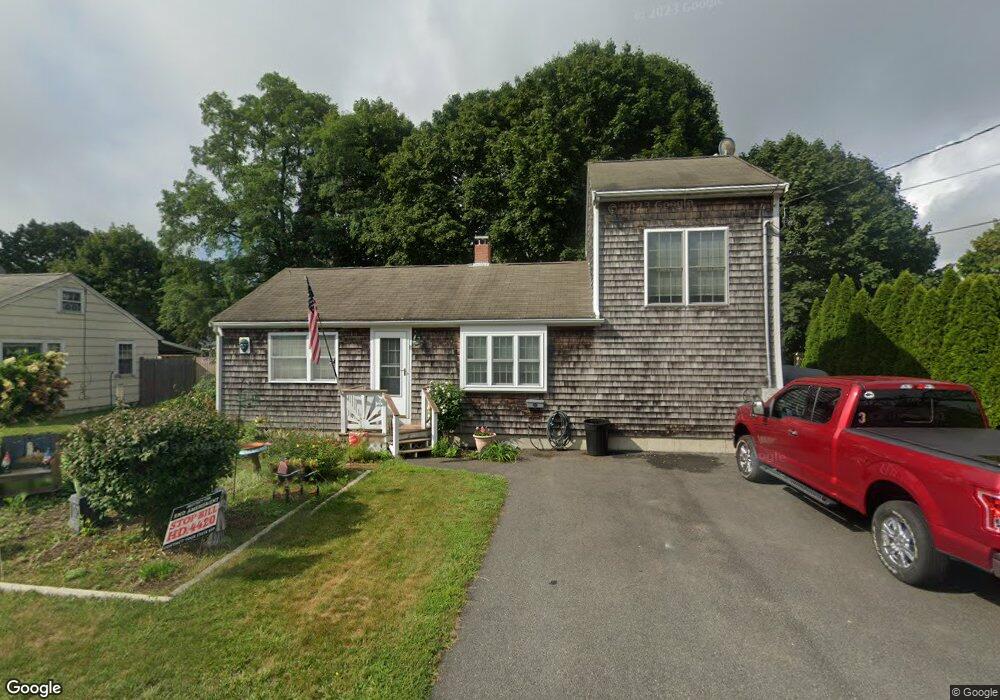
11 Winslow St Buzzards Bay, MA 02532
Estimated Value: $420,000 - $524,000
2
Beds
1
Bath
650
Sq Ft
$733/Sq Ft
Est. Value
About This Home
This home is located at 11 Winslow St, Buzzards Bay, MA 02532 and is currently estimated at $476,299, approximately $732 per square foot. 11 Winslow St is a home located in Barnstable County with nearby schools including Bourne High School, St Margaret Regional School, and Cadence Academy Preschool - Bourne.
Ownership History
Date
Name
Owned For
Owner Type
Purchase Details
Closed on
Feb 15, 2001
Sold by
Nutting Charles G and Nutting Judith A
Bought by
Kleimola James D and Kleimola Florence M
Current Estimated Value
Home Financials for this Owner
Home Financials are based on the most recent Mortgage that was taken out on this home.
Original Mortgage
$100,000
Outstanding Balance
$36,121
Interest Rate
7.08%
Mortgage Type
Purchase Money Mortgage
Estimated Equity
$440,178
Create a Home Valuation Report for This Property
The Home Valuation Report is an in-depth analysis detailing your home's value as well as a comparison with similar homes in the area
Home Values in the Area
Average Home Value in this Area
Purchase History
| Date | Buyer | Sale Price | Title Company |
|---|---|---|---|
| Kleimola James D | $125,000 | -- | |
| Kleimola James D | $125,000 | -- |
Source: Public Records
Mortgage History
| Date | Status | Borrower | Loan Amount |
|---|---|---|---|
| Open | Kleimola James D | $100,000 | |
| Closed | Kleimola James D | $100,000 |
Source: Public Records
Tax History Compared to Growth
Tax History
| Year | Tax Paid | Tax Assessment Tax Assessment Total Assessment is a certain percentage of the fair market value that is determined by local assessors to be the total taxable value of land and additions on the property. | Land | Improvement |
|---|---|---|---|---|
| 2025 | $3,352 | $429,200 | $215,400 | $213,800 |
| 2024 | $3,297 | $411,100 | $205,200 | $205,900 |
| 2023 | $3,205 | $363,800 | $181,600 | $182,200 |
| 2022 | $3,080 | $305,300 | $160,700 | $144,600 |
| 2021 | $2,992 | $277,800 | $146,200 | $131,600 |
| 2020 | $2,695 | $250,900 | $144,900 | $106,000 |
| 2019 | $2,574 | $244,900 | $144,900 | $100,000 |
| 2018 | $2,407 | $228,400 | $138,000 | $90,400 |
| 2017 | $2,330 | $226,200 | $136,700 | $89,500 |
| 2016 | $2,209 | $217,400 | $136,700 | $80,700 |
| 2015 | $2,189 | $217,400 | $136,700 | $80,700 |
Source: Public Records
Map
Nearby Homes
- 90-92 Sandwich Rd Unit 9C
- 90-92 Sandwich Rd Unit 2
- 60 Sandwich Rd
- 38 Old Bridge Rd
- 44 Cotuit Rd
- 304 Main St
- 14 Great Rock Rd
- 85 Waterhouse Rd
- 85 Waterhouse Rd
- 24 Ships View Terrace
- 27 Ships View Terrace
- 405 Village Dr
- 405 Village Dr Unit 405
- 46 Holt Rd
- 46 Holt Rd Unit A
- 4 Mainstay Ln
- 5 Sea Knoll Ct
- 7 Mizzen Ln
- 29 Weather Deck Rd
- 17 Maple St