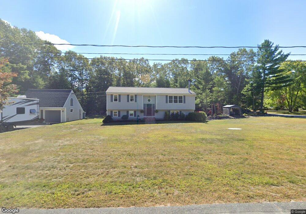
11 Winslow Way East Freetown, MA 02717
Estimated Value: $568,591 - $735,000
3
Beds
2
Baths
1,716
Sq Ft
$368/Sq Ft
Est. Value
About This Home
This home is located at 11 Winslow Way, East Freetown, MA 02717 and is currently estimated at $632,148, approximately $368 per square foot. 11 Winslow Way is a home located in Bristol County with nearby schools including Freetown Elementary School, George R Austin Intermediate School, and Freetown-Lakeville Middle School.
Ownership History
Date
Name
Owned For
Owner Type
Purchase Details
Closed on
Feb 29, 2016
Sold by
Dunne Derek J
Bought by
Dunne Derek J and Casey Kimberly A
Current Estimated Value
Home Financials for this Owner
Home Financials are based on the most recent Mortgage that was taken out on this home.
Original Mortgage
$247,200
Outstanding Balance
$153,449
Interest Rate
3.92%
Mortgage Type
New Conventional
Estimated Equity
$478,699
Purchase Details
Closed on
Jul 29, 1988
Sold by
Reynolds Herbert W
Bought by
Almeida Pauline
Create a Home Valuation Report for This Property
The Home Valuation Report is an in-depth analysis detailing your home's value as well as a comparison with similar homes in the area
Home Values in the Area
Average Home Value in this Area
Purchase History
| Date | Buyer | Sale Price | Title Company |
|---|---|---|---|
| Dunne Derek J | -- | -- | |
| Almeida Pauline | $153,000 | -- |
Source: Public Records
Mortgage History
| Date | Status | Borrower | Loan Amount |
|---|---|---|---|
| Open | Dunne Derek J | $247,200 | |
| Previous Owner | Almeida Pauline | $150,000 | |
| Previous Owner | Almeida Pauline | $75,000 | |
| Previous Owner | Almeida Pauline | $30,000 | |
| Previous Owner | Almeida Pauline | $82,800 |
Source: Public Records
Tax History Compared to Growth
Tax History
| Year | Tax Paid | Tax Assessment Tax Assessment Total Assessment is a certain percentage of the fair market value that is determined by local assessors to be the total taxable value of land and additions on the property. | Land | Improvement |
|---|---|---|---|---|
| 2025 | $4,609 | $465,100 | $176,800 | $288,300 |
| 2024 | $4,581 | $439,200 | $166,800 | $272,400 |
| 2023 | $4,472 | $417,600 | $150,200 | $267,400 |
| 2022 | $4,283 | $355,100 | $127,300 | $227,800 |
| 2021 | $4,129 | $325,100 | $115,700 | $209,400 |
| 2020 | $4,067 | $312,400 | $111,300 | $201,100 |
| 2019 | $3,861 | $293,600 | $105,900 | $187,700 |
| 2018 | $3,675 | $276,100 | $105,900 | $170,200 |
| 2017 | $3,611 | $271,100 | $105,900 | $165,200 |
| 2016 | $3,448 | $263,400 | $102,900 | $160,500 |
| 2015 | $3,364 | $260,800 | $102,900 | $157,900 |
| 2014 | $3,174 | $251,700 | $100,800 | $150,900 |
Source: Public Records
Map
Nearby Homes
- 144 Chace Rd
- 150 Quanapoag Rd
- Lot 2/3 Quanapoag Rd
- 195 Slab Bridge Rd
- 0 Costa Dr
- 599 Quanapoag Rd
- 264 Collins Corner Rd
- 1475 Braley Rd Unit 17
- 13 Luscomb Ln
- 111 High St
- 16 Swallow St
- 4597 Acushnet Ave
- 1069 Cherokee St
- 300 High Hill Rd
- 24 Bells Brook Rd
- 353 Upland St
- 64 Blaze Rd
- 319 Northwest St
- 42 High St
- 20 Slab Bridge Rd