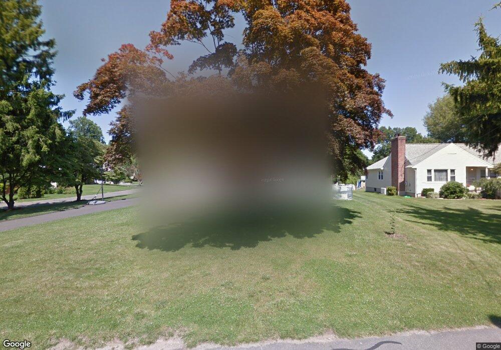
11 Woodcrest Rd Norwalk, CT 06851
Downtown Norwalk NeighborhoodEstimated Value: $846,072 - $933,000
4
Beds
2
Baths
2,337
Sq Ft
$386/Sq Ft
Est. Value
About This Home
This home is located at 11 Woodcrest Rd, Norwalk, CT 06851 and is currently estimated at $901,018, approximately $385 per square foot. 11 Woodcrest Rd is a home located in Fairfield County with nearby schools including Naramake Elementary School, Nathan Hale Middle School, and Norwalk High School.
Ownership History
Date
Name
Owned For
Owner Type
Purchase Details
Closed on
Sep 11, 2009
Sold by
Oricchio Michael A and Oricchio Renee E
Bought by
Kougioumtzidis Nikolaos and Kougioumtzidis Nektaria
Current Estimated Value
Purchase Details
Closed on
May 19, 2000
Sold by
Smoragiewicz Stephen and Smoragiewicz Lisa
Bought by
Oricchio Michael and Oricchio Renee
Create a Home Valuation Report for This Property
The Home Valuation Report is an in-depth analysis detailing your home's value as well as a comparison with similar homes in the area
Home Values in the Area
Average Home Value in this Area
Purchase History
| Date | Buyer | Sale Price | Title Company |
|---|---|---|---|
| Kougioumtzidis Nikolaos | $499,000 | -- | |
| Kougioumtzidis Nikolaos | $499,000 | -- | |
| Oricchio Michael | $438,000 | -- | |
| Oricchio Michael | $438,000 | -- |
Source: Public Records
Mortgage History
| Date | Status | Borrower | Loan Amount |
|---|---|---|---|
| Open | Oricchio Michael | $365,000 | |
| Closed | Oricchio Michael | $83,000 |
Source: Public Records
Tax History Compared to Growth
Tax History
| Year | Tax Paid | Tax Assessment Tax Assessment Total Assessment is a certain percentage of the fair market value that is determined by local assessors to be the total taxable value of land and additions on the property. | Land | Improvement |
|---|---|---|---|---|
| 2025 | $11,751 | $490,710 | $185,000 | $305,710 |
| 2024 | $11,576 | $490,710 | $185,000 | $305,710 |
| 2023 | $10,461 | $415,760 | $169,580 | $246,180 |
| 2022 | $10,266 | $415,760 | $169,580 | $246,180 |
| 2021 | $9,999 | $415,760 | $169,580 | $246,180 |
| 2020 | $9,994 | $415,760 | $169,580 | $246,180 |
| 2019 | $9,714 | $415,760 | $169,580 | $246,180 |
| 2018 | $9,912 | $371,750 | $185,910 | $185,840 |
| 2017 | $9,571 | $371,750 | $185,910 | $185,840 |
| 2016 | $9,480 | $371,750 | $185,910 | $185,840 |
| 2015 | $9,454 | $371,750 | $185,910 | $185,840 |
| 2014 | $9,331 | $371,750 | $185,910 | $185,840 |
Source: Public Records
Map
Nearby Homes
- 2 Clearview Ave
- 26 Chelene Rd
- 16 Katy Ln
- 162 Strawberry Hill Ave
- 49 Barbara Dr
- 14 Dairy Farm Rd
- 77 Walter Ave
- 44 Ambler Dr
- 25 Dairy Farm Rd
- 9 Park St Unit 217
- 142 East Ave Unit A103
- 142 East Ave Unit 403
- 142 East Ave Unit A304
- 144 East Ave Unit B404
- 142 East Ave Unit A102
- 1 1/2 Colony Place
- 18 Roxbury Rd
- 15 Dry Hill Rd
- 14 Scofield Place
- 12 Merrill Rd