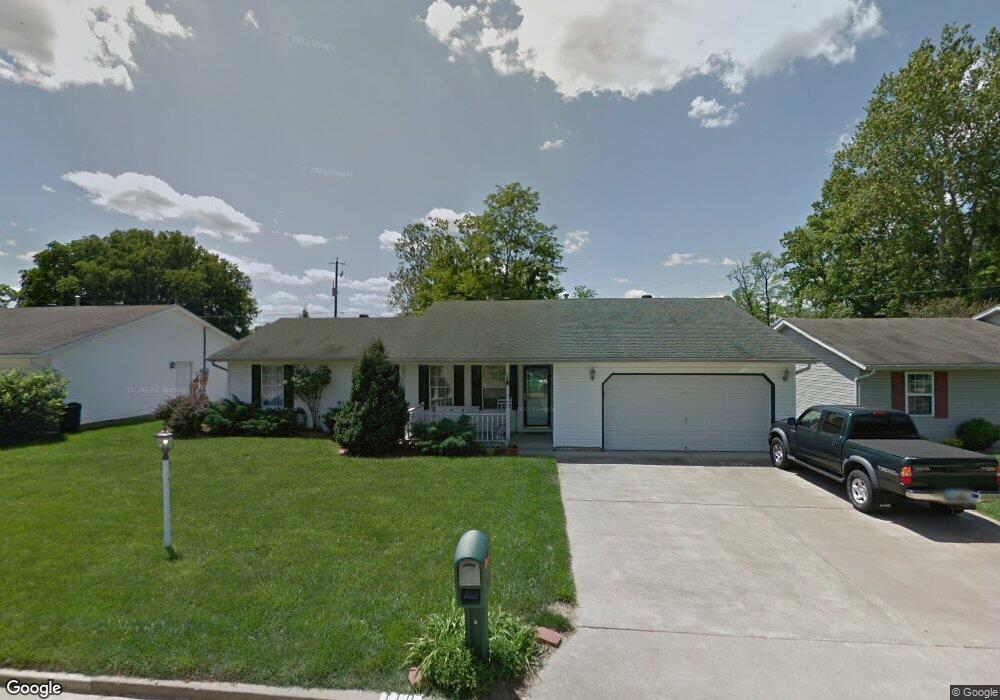
110 Aaron Dr South Point, OH 45680
Estimated Value: $222,000 - $303,000
4
Beds
2
Baths
2,032
Sq Ft
$126/Sq Ft
Est. Value
About This Home
This home is located at 110 Aaron Dr, South Point, OH 45680 and is currently estimated at $256,503, approximately $126 per square foot. 110 Aaron Dr is a home located in Lawrence County with nearby schools including South Point High School.
Ownership History
Date
Name
Owned For
Owner Type
Purchase Details
Closed on
Apr 4, 2008
Sold by
Rogers Raymond Robert and Rogers Stacie
Bought by
Leighty Daniel R and Leighty Megan D
Current Estimated Value
Home Financials for this Owner
Home Financials are based on the most recent Mortgage that was taken out on this home.
Original Mortgage
$141,775
Outstanding Balance
$90,416
Interest Rate
6.1%
Mortgage Type
FHA
Estimated Equity
$166,087
Purchase Details
Closed on
Dec 17, 1999
Sold by
Fitzpatrick Donald
Bought by
Rogers Ii Raymond Robert
Create a Home Valuation Report for This Property
The Home Valuation Report is an in-depth analysis detailing your home's value as well as a comparison with similar homes in the area
Home Values in the Area
Average Home Value in this Area
Purchase History
| Date | Buyer | Sale Price | Title Company |
|---|---|---|---|
| Leighty Daniel R | $144,000 | Attorney | |
| Rogers Ii Raymond Robert | $96,000 | -- |
Source: Public Records
Mortgage History
| Date | Status | Borrower | Loan Amount |
|---|---|---|---|
| Open | Leighty Daniel R | $141,775 |
Source: Public Records
Tax History Compared to Growth
Tax History
| Year | Tax Paid | Tax Assessment Tax Assessment Total Assessment is a certain percentage of the fair market value that is determined by local assessors to be the total taxable value of land and additions on the property. | Land | Improvement |
|---|---|---|---|---|
| 2024 | -- | $63,520 | $9,750 | $53,770 |
| 2023 | $2,208 | $63,520 | $9,750 | $53,770 |
| 2022 | $2,202 | $63,520 | $9,750 | $53,770 |
| 2021 | $1,660 | $44,870 | $8,640 | $36,230 |
| 2020 | $1,673 | $44,870 | $8,640 | $36,230 |
| 2019 | $1,664 | $44,870 | $8,640 | $36,230 |
| 2018 | $1,543 | $40,790 | $7,850 | $32,940 |
| 2017 | $1,539 | $40,790 | $7,850 | $32,940 |
| 2016 | $1,444 | $40,790 | $7,850 | $32,940 |
| 2015 | $1,676 | $44,430 | $7,850 | $36,580 |
| 2014 | $1,674 | $44,430 | $7,850 | $36,580 |
| 2013 | $1,518 | $44,430 | $7,850 | $36,580 |
Source: Public Records
Map
Nearby Homes
- 110 Kitts Ln
- 0 Township Road 161 Unit 182331
- 102 Park Ave
- 105 Orchard Dr
- 408 Brubaker Dr
- 205 Michael St
- 2904 County Road 1
- 109 Delores Ave
- 108 Ferry St
- 1184 County Road 18
- 101 Henray Dr
- 00 County Road 1
- 0 Twp R 135
- 0 Orchard Dr Unit Old Farme Subdivisio
- 609 4th St E
- 0 County Road 1
- 404 Township Road 135
- 0 Township Road 135
- 314 Wadkins St
- 2800 Walnut St
- 114 Aaron Dr
- 108 Aaron Dr
- 109 Aaron Dr
- 116 Aaron Dr
- 106 Aaron Dr
- 111 Aaron Dr
- 107 Aaron Dr
- 113 Aaron Dr
- 118 Aaron Dr
- 105 Aaron Dr
- 104 Aaron Dr
- 102 Elizabeth Way
- 102 Elizabeth Way Unit JO-25
- 574 County Road 60
- 38 Pvt Dr 622 County Road 60
- 92 Private Road 660 Unit 60
- 103 Aaron Dr
- 120 Aaron Dr
- 592 County Road 60
- 102 Aaron Dr