110 Adams Hill Rd Nicholson, GA 30565
Estimated Value: $382,000 - $666,967
--
Bed
2
Baths
1,230
Sq Ft
$414/Sq Ft
Est. Value
About This Home
This home is located at 110 Adams Hill Rd, Nicholson, GA 30565 and is currently estimated at $508,656, approximately $413 per square foot. 110 Adams Hill Rd is a home with nearby schools including East Jackson Middle School and East Jackson Comprehensive High School.
Ownership History
Date
Name
Owned For
Owner Type
Purchase Details
Closed on
Mar 8, 2024
Sold by
Adams Edna Larue
Bought by
Adams Reuben and Adams Scott
Current Estimated Value
Purchase Details
Closed on
Feb 8, 2024
Sold by
Adams Reuben
Bought by
Luke David
Purchase Details
Closed on
Jun 15, 2021
Sold by
Adams Edna Larue
Bought by
Adams Bailey
Purchase Details
Closed on
Dec 21, 2015
Sold by
Standing Boy Preserve Llc
Bought by
Brown Dana Briscoe
Purchase Details
Closed on
Mar 31, 2014
Sold by
Brown Dana Briscoe
Bought by
Standing Boy Preserve Llc
Create a Home Valuation Report for This Property
The Home Valuation Report is an in-depth analysis detailing your home's value as well as a comparison with similar homes in the area
Home Values in the Area
Average Home Value in this Area
Purchase History
| Date | Buyer | Sale Price | Title Company |
|---|---|---|---|
| Adams Reuben | -- | -- | |
| Luke David | -- | -- | |
| Adams Bailey | -- | -- | |
| Brown Dana Briscoe | -- | -- | |
| Standing Boy Preserve Llc | -- | -- |
Source: Public Records
Tax History Compared to Growth
Tax History
| Year | Tax Paid | Tax Assessment Tax Assessment Total Assessment is a certain percentage of the fair market value that is determined by local assessors to be the total taxable value of land and additions on the property. | Land | Improvement |
|---|---|---|---|---|
| 2024 | $5,087 | $198,988 | $155,040 | $43,948 |
| 2023 | $5,087 | $191,708 | $155,040 | $36,668 |
| 2022 | $2,436 | $83,788 | $53,880 | $29,908 |
| 2021 | $2,627 | $91,308 | $62,120 | $29,188 |
| 2020 | $2,711 | $85,948 | $62,120 | $23,828 |
| 2019 | $2,752 | $85,948 | $62,120 | $23,828 |
| 2018 | $3,062 | $94,280 | $62,120 | $32,160 |
| 2017 | $2,779 | $84,874 | $54,684 | $30,190 |
| 2016 | $2,795 | $84,874 | $54,684 | $30,190 |
| 2015 | $2,808 | $84,874 | $54,684 | $30,190 |
| 2014 | $2,764 | $84,267 | $54,684 | $29,583 |
| 2013 | -- | $84,266 | $54,684 | $29,582 |
Source: Public Records
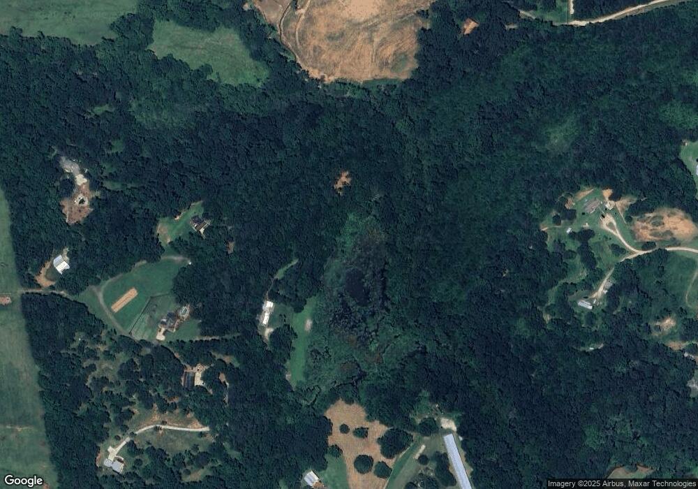
Map
Nearby Homes
- 1718 Ed Bennett Rd
- 130 Levi Trail
- 140 Levi Trail
- 97 Abby Ln
- 0 Nowhere Ln Unit 10544151
- 425 Bob Holman Rd
- 0 US Hwy 441 S Unit 20890220
- 10 Red Rose Rd
- 322 Cedar Tree Ln
- 4419 New Kings Bridge Rd
- 2850 Commerce Rd
- 170 Rocky Dr
- 7 Red Rose Rd
- 9 Red Rose Rd
- 310 Sawdust Rd
- 719 Old Athens Dr
- 520 Old Athens Dr
- 1771 Leon Ellis Rd
- 223 Sawdust Trail
- 2345 Seagraves Mill Rd
- 371 Adams Hill Rd
- 254 Adams Hill Rd
- 10918 Highway 334
- 10895 Highway 334
- 324 Adams Hill Rd
- 10895 Georgia 334
- 10647 Highway 334
- 10647 Georgia 334
- 10641 Highway 334
- 10550 Highway 334
- 10995 Georgia 334
- 10995 Highway 334
- 377 Adams Hill Rd
- 11044 Highway 334
- 11031 Highway 334
- 385 Adams Hill Rd
- 11061 Highway 334
- 141 Kesler Rd
- 187 Kesler Rd
- 105 Kesler Rd