110 Armstrong Rd Dalton, PA 18414
Estimated Value: $137,749 - $438,000
--
Bed
--
Bath
--
Sq Ft
2.02
Acres
About This Home
This home is located at 110 Armstrong Rd, Dalton, PA 18414 and is currently estimated at $281,687. 110 Armstrong Rd is a home located in Lackawanna County with nearby schools including Lackawanna Trail Elementary Center, Lackawanna Trail Junior/Senior High School, and Our Lady Of Peace School.
Ownership History
Date
Name
Owned For
Owner Type
Purchase Details
Closed on
Aug 28, 2014
Sold by
Altieri Neil R and Altieri Nicole Marie
Bought by
Altieri Neil R and Altieri Nicole Marie
Current Estimated Value
Purchase Details
Closed on
Sep 8, 2005
Sold by
Altieri Neil and Altieri Nicholas J
Bought by
Altieri Neil R
Home Financials for this Owner
Home Financials are based on the most recent Mortgage that was taken out on this home.
Original Mortgage
$46,666
Interest Rate
5.92%
Mortgage Type
New Conventional
Create a Home Valuation Report for This Property
The Home Valuation Report is an in-depth analysis detailing your home's value as well as a comparison with similar homes in the area
Home Values in the Area
Average Home Value in this Area
Purchase History
| Date | Buyer | Sale Price | Title Company |
|---|---|---|---|
| Altieri Neil R | -- | None Available | |
| Altieri Neil R | $70,000 | None Available |
Source: Public Records
Mortgage History
| Date | Status | Borrower | Loan Amount |
|---|---|---|---|
| Closed | Altieri Neil R | $46,666 |
Source: Public Records
Tax History Compared to Growth
Tax History
| Year | Tax Paid | Tax Assessment Tax Assessment Total Assessment is a certain percentage of the fair market value that is determined by local assessors to be the total taxable value of land and additions on the property. | Land | Improvement |
|---|---|---|---|---|
| 2025 | $4,909 | $14,900 | $3,500 | $11,400 |
| 2024 | $4,236 | $14,900 | $3,500 | $11,400 |
| 2023 | $4,236 | $14,900 | $3,500 | $11,400 |
| 2022 | $2,603 | $9,900 | $3,500 | $6,400 |
| 2021 | $2,569 | $9,900 | $3,500 | $6,400 |
| 2020 | $2,533 | $9,900 | $3,500 | $6,400 |
| 2019 | $2,453 | $9,900 | $3,500 | $6,400 |
| 2018 | $2,421 | $9,900 | $3,500 | $6,400 |
| 2017 | $2,378 | $9,900 | $3,500 | $6,400 |
| 2016 | $568 | $9,900 | $3,500 | $6,400 |
| 2015 | -- | $9,900 | $3,500 | $6,400 |
| 2014 | -- | $9,900 | $3,500 | $6,400 |
Source: Public Records
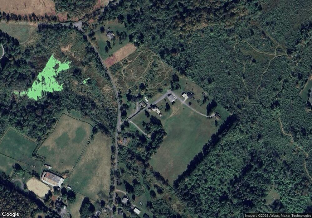
Map
Nearby Homes
- 0 Clinton St Unit GSB234605
- 0 Dearborn Unit GSBSC256031
- 1012 Summerfield Dr
- 28 Church Hill Rd
- 107 Garney St
- 220 Fuller Rd
- 0 N Abington Rd Unit GSBSC255089
- 0 N Abington Rd Unit 25-5001
- 34 White Birch Ln
- 1-2-3-4 Weatherby St
- 302 Weatherby St
- 218 Weatherby St
- 0 S Waterford Rd
- 0 Ackerly Rd & Waverly Rd Unit GSBSC254062
- 1015 Woodwind Hill Dr
- 2 Lily Lake Rd
- 3 Lily Lake Rd
- 4 Lily Lake Rd
- 1520 N Abington Rd
- 1001 Griggs St
- 112 Armstrong Rd
- 108 Armstrong Rd
- 388 Stone School Ln
- 164 Armstrong Rd
- 114 Armstrong Rd
- 269 Armstrong Rd
- 105 Church St
- 424 E Main St
- 430 E Main St
- 430 E Main St
- 503 Clinton St
- 507 Clinton St
- 500 Clinton St
- 509 Clinton St
- 429 E Main St
- 500 Clinton St
- 504 Clinton St
- 632 Pennsylvania 632
- 847 Lily Lake Rd
- 258 Dean Rd