110 Ashland Dr Centreville, MD 21617
Estimated Value: $618,000 - $737,000
4
Beds
3
Baths
1,865
Sq Ft
$372/Sq Ft
Est. Value
About This Home
This home is located at 110 Ashland Dr, Centreville, MD 21617 and is currently estimated at $694,341, approximately $372 per square foot. 110 Ashland Dr is a home located in Queen Anne's County with nearby schools including Centreville Elementary School, Kennard Elementary School, and Centreville Middle School.
Ownership History
Date
Name
Owned For
Owner Type
Purchase Details
Closed on
Jan 24, 2014
Sold by
Jse Investment Properties Llc
Bought by
Palko Andrew A
Current Estimated Value
Home Financials for this Owner
Home Financials are based on the most recent Mortgage that was taken out on this home.
Original Mortgage
$409,621
Outstanding Balance
$311,098
Interest Rate
4.47%
Mortgage Type
VA
Estimated Equity
$383,243
Purchase Details
Closed on
Aug 5, 2013
Sold by
Fairway Llc
Bought by
Jse Investment Properties Llc
Home Financials for this Owner
Home Financials are based on the most recent Mortgage that was taken out on this home.
Original Mortgage
$256,950
Interest Rate
4.31%
Mortgage Type
Purchase Money Mortgage
Create a Home Valuation Report for This Property
The Home Valuation Report is an in-depth analysis detailing your home's value as well as a comparison with similar homes in the area
Home Values in the Area
Average Home Value in this Area
Purchase History
| Date | Buyer | Sale Price | Title Company |
|---|---|---|---|
| Palko Andrew A | $81,000 | None Available | |
| Jse Investment Properties Llc | $81,000 | None Available |
Source: Public Records
Mortgage History
| Date | Status | Borrower | Loan Amount |
|---|---|---|---|
| Open | Palko Andrew A | $409,621 | |
| Previous Owner | Jse Investment Properties Llc | $256,950 |
Source: Public Records
Tax History Compared to Growth
Tax History
| Year | Tax Paid | Tax Assessment Tax Assessment Total Assessment is a certain percentage of the fair market value that is determined by local assessors to be the total taxable value of land and additions on the property. | Land | Improvement |
|---|---|---|---|---|
| 2025 | $5,205 | $555,533 | $0 | $0 |
| 2024 | $4,949 | $519,000 | $142,500 | $376,500 |
| 2023 | $4,734 | $496,167 | $0 | $0 |
| 2022 | $4,516 | $473,333 | $0 | $0 |
| 2021 | $4,186 | $450,500 | $122,500 | $328,000 |
| 2020 | $4,186 | $436,467 | $0 | $0 |
| 2019 | $4,052 | $422,433 | $0 | $0 |
| 2018 | $3,917 | $408,400 | $101,000 | $307,400 |
| 2017 | $3,869 | $403,433 | $0 | $0 |
| 2016 | -- | $398,467 | $0 | $0 |
| 2015 | $1,182 | $393,500 | $0 | $0 |
| 2014 | $1,182 | $393,500 | $0 | $0 |
Source: Public Records
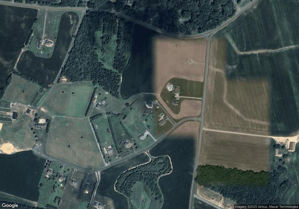
Map
Nearby Homes
- 111 Pleasant Springs Dr
- 331 Old Line Dr
- 307 Old Line Dr
- 122 Lently Farm Ln
- 325 Twin Meadows Farm Ln
- 131 E Meadow Dr
- 143 Long Creek Way
- 109 E Meadow Dr
- 144 Cool Meadow Dr
- Merion Plan at Meadow Creek
- Windermere Plan at Meadow Creek
- Doral Plan at Meadow Creek
- Sawgrass Plan at Meadow Creek
- Pinehurst Plan at Meadow Creek
- Congressional Plan at Meadow Creek
- 104 Pasture Ct
- 116 Pasture Ct
- 415 Twin Meadows Farm Ln
- The Miles Plan at Northbrook
- 105 Granard Ave
- 116 Ashland Dr
- 120 Ashland Dr
- 126 Tanyard Rd
- 128 Ashland Dr
- 142 Ashland Dr
- 134 Ashland Dr
- 0 Ashland Dr
- 633 White Marsh Rd
- 203 Ashland Dr
- 623 White Marsh Rd
- 207 Ashland Dr
- 232 Ashland Dr
- 619 White Marsh Rd
- 213 Ashland Dr
- 175 Ashland Dr
- 615 White Marsh Rd
- 219 Ashland Dr
- 616 White Marsh Rd
- 225 Ashland Dr
- 611 White Marsh Rd