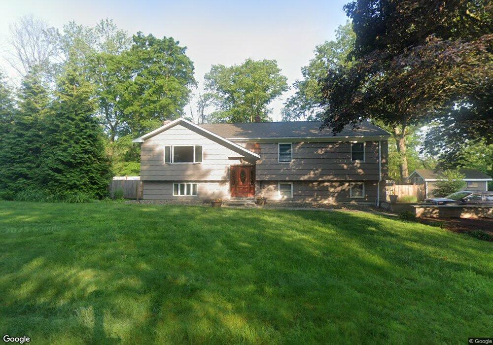
110 Astriab Ln Milford, CT 06461
Parkway/Wheelers Farm Road NeighborhoodEstimated Value: $510,757 - $580,000
3
Beds
2
Baths
1,346
Sq Ft
$396/Sq Ft
Est. Value
About This Home
This home is located at 110 Astriab Ln, Milford, CT 06461 and is currently estimated at $533,439, approximately $396 per square foot. 110 Astriab Ln is a home located in New Haven County with nearby schools including Orange Avenue School, Harborside Middle School, and Jonathan Law High School.
Ownership History
Date
Name
Owned For
Owner Type
Purchase Details
Closed on
Nov 24, 1998
Sold by
Turner Elsie M
Bought by
Degennaro Robert M and Sullivan Baeth A
Current Estimated Value
Home Financials for this Owner
Home Financials are based on the most recent Mortgage that was taken out on this home.
Original Mortgage
$161,100
Interest Rate
6.49%
Create a Home Valuation Report for This Property
The Home Valuation Report is an in-depth analysis detailing your home's value as well as a comparison with similar homes in the area
Home Values in the Area
Average Home Value in this Area
Purchase History
| Date | Buyer | Sale Price | Title Company |
|---|---|---|---|
| Degennaro Robert M | $179,000 | -- | |
| Degennaro Robert M | $179,000 | -- |
Source: Public Records
Mortgage History
| Date | Status | Borrower | Loan Amount |
|---|---|---|---|
| Open | Degennaro Robert M | $265,000 | |
| Closed | Degennaro Robert M | $231,000 | |
| Closed | Degennaro Robert M | $160,000 | |
| Closed | Degennaro Robert M | $161,100 |
Source: Public Records
Tax History Compared to Growth
Tax History
| Year | Tax Paid | Tax Assessment Tax Assessment Total Assessment is a certain percentage of the fair market value that is determined by local assessors to be the total taxable value of land and additions on the property. | Land | Improvement |
|---|---|---|---|---|
| 2025 | $7,134 | $241,430 | $104,340 | $137,090 |
| 2024 | $7,035 | $241,430 | $104,340 | $137,090 |
| 2023 | $6,560 | $241,430 | $104,340 | $137,090 |
| 2022 | $6,434 | $241,430 | $104,340 | $137,090 |
| 2021 | $5,497 | $198,800 | $71,380 | $127,420 |
| 2020 | $5,503 | $198,800 | $71,380 | $127,420 |
| 2019 | $5,509 | $198,800 | $71,380 | $127,420 |
| 2018 | $5,515 | $198,800 | $71,380 | $127,420 |
| 2017 | $5,525 | $198,800 | $71,380 | $127,420 |
| 2016 | $5,610 | $201,520 | $75,350 | $126,170 |
| 2015 | $5,618 | $201,520 | $75,350 | $126,170 |
| 2014 | $5,485 | $201,520 | $75,350 | $126,170 |
Source: Public Records
Map
Nearby Homes
- 918 Wheelers Farms Rd
- 161 Herbert St
- 25 Southwick Ct N
- 26 Myrtlewood Dr
- 558 Treat Ln
- 164 Centennial Dr
- 183 Centennial Dr
- 180 Platt Ln
- 0 North St
- 492 North St
- 143 Juniper Dr
- 0 E Rutland Rd
- 193 Wheelers Farms Rd
- 82 Oak Ridge Ln
- 184 Kyles Way
- 539 Fairway Rd
- 2 Manhassett Trail
- 179 Remy Ct Unit 179
- 8 Algonkin Rd Unit A
- 86 Kyles Way Unit 86
- 111 Red Root Ln
- 132 Red Root Ln
- 101 Red Root Ln
- 70 Astriab Ln
- 75 Astriab Ln
- 160 Red Root Ln
- 100 Red Root Ln
- 65 Astriab Ln
- 164 Red Root Ln
- 86 Red Root Ln
- 104 Lavery Ln
- 39 Astriab Ln
- 44 Astriab Ln
- 32 Oljay Terrace
- 166 Red Root Ln
- 69 Dart Hill Rd
- 79 Dart Hill Rd
- 25 Astriab Ln
- 22 Oljay Terrace
- 89 Dart Hill Rd