110 Atlantic Ave Cohasset, MA 02025
Estimated Value: $3,233,000 - $3,772,000
5
Beds
6
Baths
6,558
Sq Ft
$518/Sq Ft
Est. Value
About This Home
This home is located at 110 Atlantic Ave, Cohasset, MA 02025 and is currently estimated at $3,394,417, approximately $517 per square foot. 110 Atlantic Ave is a home located in Norfolk County with nearby schools including Joseph Osgood School, Deer Hill School, and Cohasset Middle School.
Ownership History
Date
Name
Owned For
Owner Type
Purchase Details
Closed on
May 30, 2003
Sold by
Redgate Suzan and Killilea Suzan M
Bought by
Bodner Randall W and Bodner Elizabeth E
Current Estimated Value
Home Financials for this Owner
Home Financials are based on the most recent Mortgage that was taken out on this home.
Original Mortgage
$1,000,000
Outstanding Balance
$440,589
Interest Rate
5.86%
Mortgage Type
Purchase Money Mortgage
Estimated Equity
$2,953,828
Create a Home Valuation Report for This Property
The Home Valuation Report is an in-depth analysis detailing your home's value as well as a comparison with similar homes in the area
Home Values in the Area
Average Home Value in this Area
Purchase History
| Date | Buyer | Sale Price | Title Company |
|---|---|---|---|
| Bodner Randall W | $1,670,000 | -- |
Source: Public Records
Mortgage History
| Date | Status | Borrower | Loan Amount |
|---|---|---|---|
| Open | Bodner Randall W | $1,000,000 |
Source: Public Records
Tax History Compared to Growth
Tax History
| Year | Tax Paid | Tax Assessment Tax Assessment Total Assessment is a certain percentage of the fair market value that is determined by local assessors to be the total taxable value of land and additions on the property. | Land | Improvement |
|---|---|---|---|---|
| 2025 | $31,377 | $2,709,600 | $1,195,000 | $1,514,600 |
| 2024 | $28,197 | $2,316,900 | $977,100 | $1,339,800 |
| 2023 | $27,339 | $2,316,900 | $977,100 | $1,339,800 |
| 2022 | $25,997 | $2,069,800 | $977,100 | $1,092,700 |
| 2021 | $27,199 | $2,085,800 | $977,100 | $1,108,700 |
| 2020 | $27,053 | $2,085,800 | $977,100 | $1,108,700 |
| 2019 | $27,554 | $2,136,000 | $977,100 | $1,158,900 |
| 2018 | $27,319 | $2,136,000 | $977,100 | $1,158,900 |
| 2017 | $26,746 | $2,047,900 | $977,100 | $1,070,800 |
| 2016 | $26,377 | $2,047,900 | $977,100 | $1,070,800 |
| 2015 | $26,029 | $2,047,900 | $977,100 | $1,070,800 |
| 2014 | $25,681 | $2,047,900 | $977,100 | $1,070,800 |
Source: Public Records
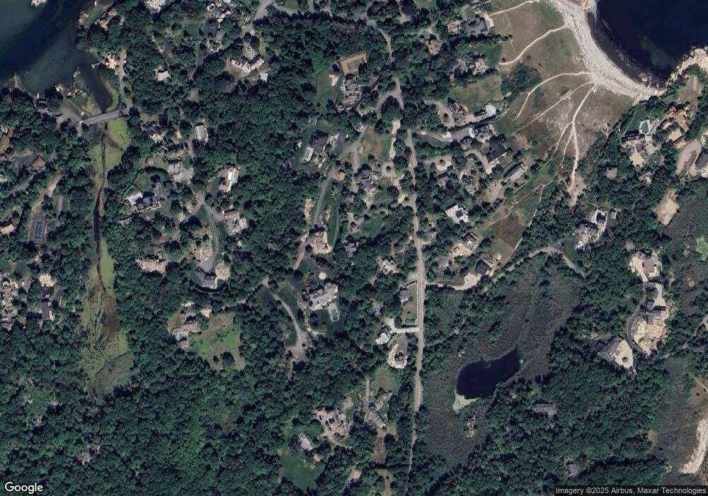
Map
Nearby Homes
- 25 Mohawk Way
- 17 Mohawk Way
- 135 Beach St
- 104 Howard Gleason Rd
- 100 Howard Gleason Rd
- 21-23 Elm Ct
- 4 Margin St Unit A
- 124 Elm St Unit 202
- 124 Elm St Unit 308
- 11 Beach St
- 87 Elm St Unit 215
- 128 Elm St Unit 211
- 89 Ripley Rd
- 101 Nichols Rd
- 356 Atlantic Ave
- 98 Black Horse Ln
- 15 Cushing Rd
- 68 Black Horse Ln
- 146 N Main St Unit 146
- 24 Wood Island Rd
- 130 Atlantic Ave
- 130 Atlantic Ave
- 130 Atlantic Ave Unit n/a
- 108 Atlantic Ave
- 94 Atlantic Ave
- 132 Atlantic Ave
- 92 Atlantic Ave
- 92 Atlantic Ave Unit 92
- 124 Atlantic Ave
- 105 Atlantic Ave
- 101 Atlantic Ave
- 138 Atlantic Ave
- 109 Atlantic Ave
- 109 Atlantic Ave
- 95 Atlantic Ave
- 44 Atlantic Ave
- 28 Mohawk Way
- 91 Atlantic Ave
- 107 Atlantic Ave
- 22 Mohawk Way