110 Atwell Farm Ln Mooresville, NC 28115
Estimated Value: $458,000 - $630,000
4
Beds
4
Baths
2,268
Sq Ft
$239/Sq Ft
Est. Value
About This Home
This home is located at 110 Atwell Farm Ln, Mooresville, NC 28115 and is currently estimated at $541,482, approximately $238 per square foot. 110 Atwell Farm Ln is a home with nearby schools including Shepherd Elementary School, Lakeshore Middle School, and South Iredell High School.
Ownership History
Date
Name
Owned For
Owner Type
Purchase Details
Closed on
Jul 20, 2017
Sold by
Dirty Mo Acres Llc
Bought by
Miller Earnhardt R and Miller Kelley Earnhardt
Current Estimated Value
Purchase Details
Closed on
Mar 8, 2017
Sold by
Miller Earnhardt R and Miller Kelley Earnhardt
Bought by
Dirty Mo Acres Llc
Purchase Details
Closed on
Jul 11, 2008
Sold by
Batts Joseph Stan and Kirby Everett Eugene
Bought by
Earnhardt R Dale and Elledge Kelley Earnhardt
Purchase Details
Closed on
Jun 1, 1945
Create a Home Valuation Report for This Property
The Home Valuation Report is an in-depth analysis detailing your home's value as well as a comparison with similar homes in the area
Home Values in the Area
Average Home Value in this Area
Purchase History
| Date | Buyer | Sale Price | Title Company |
|---|---|---|---|
| Miller Earnhardt R | -- | None Available | |
| Dirty Mo Acres Llc | -- | None Available | |
| Earnhardt R Dale | $999,000 | None Available | |
| -- | -- | -- |
Source: Public Records
Tax History Compared to Growth
Tax History
| Year | Tax Paid | Tax Assessment Tax Assessment Total Assessment is a certain percentage of the fair market value that is determined by local assessors to be the total taxable value of land and additions on the property. | Land | Improvement |
|---|---|---|---|---|
| 2024 | $2,252 | $349,880 | $117,480 | $232,400 |
| 2023 | $2,124 | $349,880 | $117,480 | $232,400 |
| 2022 | $1,768 | $272,870 | $108,450 | $164,420 |
| 2021 | $1,768 | $272,870 | $108,450 | $164,420 |
| 2020 | $1,768 | $272,870 | $108,450 | $164,420 |
| 2019 | $1,686 | $272,870 | $108,450 | $164,420 |
| 2018 | $1,571 | $254,240 | $108,450 | $145,790 |
| 2017 | $1,558 | $251,990 | $108,450 | $143,540 |
| 2016 | $1,558 | $251,990 | $108,450 | $143,540 |
| 2015 | $1,558 | $251,990 | $108,450 | $143,540 |
| 2014 | $1,494 | $259,780 | $108,450 | $151,330 |
Source: Public Records
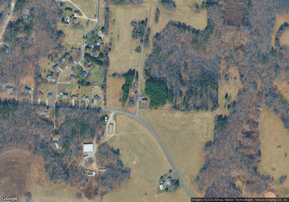
Map
Nearby Homes
- 267 Winthrow Creek Rd
- 909 Shinnville Rd
- 483 Shinnville Rd
- 567 Shinnville Rd
- 105 Cool Creek Ln
- 175 Savannah Crossing Dr
- 154 Nicholson Ln
- 158 Nicholson Ln
- 515 Brawley Rd
- 177 Glenn Dr
- 131 Glenn Dr
- 1211 Mt Ulla Hwy None
- 164 Shepherds Landing Dr
- 169 Pecan Hills Dr
- 682 Houston Rd
- 204 Shepherds Bluff Dr
- 144 Sugar Hill Rd
- 658 Houston Rd
- 126 Guardian Gate Dr
- 138 Shepherd Rd
- 341 Winthrow Creek Rd
- 332 Winthrow Creek Rd
- 323 Winthrow Creek Rd
- 317 Winthrow Creek Rd
- 135 Atwell Farm Ln
- 130 Johns Pond Ln
- 126 Johns Pond Ln
- 134 Johns Pond Ln
- 0 Winthrow Creek Rd Unit 771106
- 002 Winthrow Creek Rd
- 311 Winthrow Creek Rd
- 138 Johns Pond Ln
- 118 Johns Pond Ln
- 221 Johns Pond Ln
- 305 Winthrow Creek Rd
- 382 Winthrow Creek Rd
- 125 Johns Pond Ln
- 105 Johns Pond Ln
- 105 Johns Pond Ln Unit 2314559-16047
- 117 Johns Pond Ln