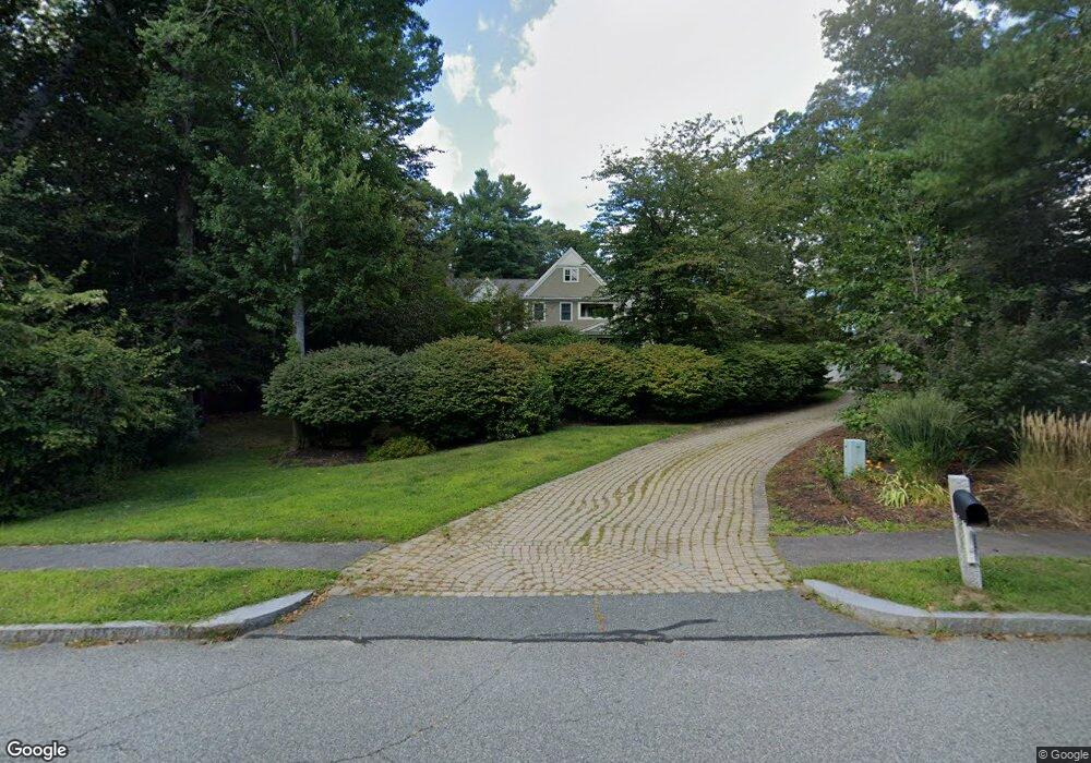
110 Bates Way Hanover, MA 02339
Estimated Value: $1,567,000 - $1,621,000
4
Beds
4
Baths
4,150
Sq Ft
$384/Sq Ft
Est. Value
About This Home
This home is located at 110 Bates Way, Hanover, MA 02339 and is currently estimated at $1,593,943, approximately $384 per square foot. 110 Bates Way is a home located in Plymouth County with nearby schools including Hanover High School and South Shore Charter Public School.
Ownership History
Date
Name
Owned For
Owner Type
Purchase Details
Closed on
Nov 24, 2003
Sold by
Lambert Daniel and Lambert Khristin
Bought by
Burke Thomas and Burke Kelly
Current Estimated Value
Home Financials for this Owner
Home Financials are based on the most recent Mortgage that was taken out on this home.
Original Mortgage
$682,500
Outstanding Balance
$315,969
Interest Rate
5.98%
Mortgage Type
Purchase Money Mortgage
Estimated Equity
$1,277,974
Create a Home Valuation Report for This Property
The Home Valuation Report is an in-depth analysis detailing your home's value as well as a comparison with similar homes in the area
Home Values in the Area
Average Home Value in this Area
Purchase History
| Date | Buyer | Sale Price | Title Company |
|---|---|---|---|
| Burke Thomas | $1,132,500 | -- |
Source: Public Records
Mortgage History
| Date | Status | Borrower | Loan Amount |
|---|---|---|---|
| Open | Burke Thomas | $682,500 | |
| Previous Owner | Burke Thomas | $322,000 | |
| Previous Owner | Burke Thomas | $300,000 |
Source: Public Records
Tax History
| Year | Tax Paid | Tax Assessment Tax Assessment Total Assessment is a certain percentage of the fair market value that is determined by local assessors to be the total taxable value of land and additions on the property. | Land | Improvement |
|---|---|---|---|---|
| 2025 | $20,003 | $1,619,700 | $352,300 | $1,267,400 |
| 2024 | $19,200 | $1,495,300 | $352,300 | $1,143,000 |
| 2023 | $18,976 | $1,406,700 | $320,700 | $1,086,000 |
| 2022 | $16,969 | $1,112,700 | $282,500 | $830,200 |
| 2021 | $7,648 | $1,040,600 | $257,100 | $783,500 |
| 2020 | $16,775 | $1,028,500 | $280,300 | $748,200 |
| 2019 | $16,254 | $990,500 | $291,800 | $698,700 |
| 2018 | $6,513 | $940,700 | $312,600 | $628,100 |
| 2017 | $15,137 | $916,300 | $280,200 | $636,100 |
| 2016 | $14,774 | $876,300 | $254,900 | $621,400 |
| 2015 | $14,152 | $876,300 | $254,900 | $621,400 |
Source: Public Records
Map
Nearby Homes
- 47 Stone Meadow Ln
- 44 Stone Meadow Ln
- 776 Main St
- 36 Bayberry Ln
- 46 Brookwood Rd
- 535 Webster St
- 506 Main St
- 18 Winterberry Ln
- 53 Chestnut St
- 738 Whiting St
- 62 Larchmont Ln
- 49 Washington Park Dr
- 206-208 Hinghm St
- 436 E Water St
- 823 Market St
- 5 Blueberry Ct
- 8 Blueberry Ct
- 7 Assinippi Ave Unit 205
- 7 Assinippi Ave Unit 306
- 9 Old Market St
- 114 Bates Way
- 80 Paul Rd
- 131 Setterland Farm Rd
- 117 Bates Way
- 78 Paul Rd
- 33 Stone Meadow Ln
- 132 Setterland Farm Rd
- 130 Setterland Farm Rd
- 121 Setterland Farm Rd
- 121 Bates Way
- 76 Paul Rd
- 29 Stone Meadow Ln
- 86 Bates Way
- 77 Paul Rd
- 87 Bates Way
- 37 Stone Meadow Ln
- 32 Stone Meadow Ln
- 113 Setterland Farm Rd
- 72 Paul Rd
- 78 Bates Way
Your Personal Tour Guide
Ask me questions while you tour the home.