110 Bear Path Rd Gordonville, TX 76245
Estimated Value: $591,983 - $732,000
--
Bed
--
Bath
3,055
Sq Ft
$217/Sq Ft
Est. Value
About This Home
This home is located at 110 Bear Path Rd, Gordonville, TX 76245 and is currently estimated at $661,992, approximately $216 per square foot. 110 Bear Path Rd is a home with nearby schools including J.W. Hayes Primary School, Whitesboro Intermediate School, and Whitesboro Middle School.
Ownership History
Date
Name
Owned For
Owner Type
Purchase Details
Closed on
Mar 30, 2012
Sold by
Double Diamond Inc
Bought by
Lewis Mike H and Lewis Suzanne
Current Estimated Value
Home Financials for this Owner
Home Financials are based on the most recent Mortgage that was taken out on this home.
Original Mortgage
$21,174
Outstanding Balance
$15,672
Interest Rate
5.5%
Mortgage Type
Seller Take Back
Estimated Equity
$646,320
Create a Home Valuation Report for This Property
The Home Valuation Report is an in-depth analysis detailing your home's value as well as a comparison with similar homes in the area
Home Values in the Area
Average Home Value in this Area
Purchase History
| Date | Buyer | Sale Price | Title Company |
|---|---|---|---|
| Lewis Mike H | $51,147 | None Available | |
| Lewis Mike H | -- | None Available |
Source: Public Records
Mortgage History
| Date | Status | Borrower | Loan Amount |
|---|---|---|---|
| Open | Lewis Mike H | $21,174 | |
| Closed | Lewis Mike H | $0 |
Source: Public Records
Tax History Compared to Growth
Tax History
| Year | Tax Paid | Tax Assessment Tax Assessment Total Assessment is a certain percentage of the fair market value that is determined by local assessors to be the total taxable value of land and additions on the property. | Land | Improvement |
|---|---|---|---|---|
| 2025 | $4,739 | $673,811 | $60,232 | $613,579 |
| 2024 | $10,463 | $661,227 | $0 | $0 |
| 2023 | $4,750 | $601,115 | $0 | $0 |
| 2022 | $8,687 | $546,468 | $0 | $0 |
| 2021 | $8,930 | $496,789 | $63,460 | $433,329 |
| 2020 | $8,313 | $448,959 | $20,777 | $428,182 |
| 2019 | $8,300 | $418,315 | $20,762 | $397,553 |
| 2018 | $8,477 | $418,315 | $20,762 | $397,553 |
| 2017 | $8,816 | $440,151 | $45,663 | $394,488 |
| 2016 | $8,015 | $418,338 | $45,663 | $372,675 |
| 2015 | $0 | $354,553 | $45,663 | $308,890 |
| 2014 | -- | $387,212 | $45,663 | $341,549 |
Source: Public Records
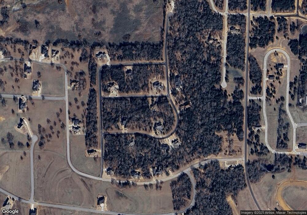
Map
Nearby Homes
- 34D Dove Canyon Dr
- 159 Pronghorn Dr
- 15 Stonewolf Ct
- 740 Palmilla Dr
- 967 Pronghorn Dr
- 0000 Pronghorn Dr
- LOT 4 B Pronghorn Dr
- 52 Coyote Creek Dr
- 19C Coyote Springs Ct
- lot 73 Coyote Creek Dr
- Lot 68B Coyote Creek Dr
- Lot 27A Coyote Creek Dr
- Lot 24 Coyote Creek Dr
- Lot 26 Coyote Creek Dr
- Lot 61B Coyote Creek Dr
- A La Paloma Cir
- TBD La Paloma Cir
- 28C La Paloma Cir
- Lt 1 La Paloma Cir
- Lot 33B La Paloma Cir
- 111 Dove Canyon Dr
- TBD Dove Canyon Dr
- 131 Bear Path Rd
- 192 Dove Canyon Dr
- 109 Bear Path Rd
- TBD Bear Path Rd
- 8 Lot Bear Path Rd
- 83 Bear Path Rd
- 53 Dove Canyon Dr
- 144 Dove Canyon Dr
- 72 Dove Canyon Dr
- 256 Dove Canyon Dr
- 128 Dove Canyon Dr
- 37 Dove Canyon Dr
- 35 Dove Canyon Dr
- 33 Dove Canyon Dr
- 65 Dove Canyon Dr
- Lot 24D Dove Canyon Dr
- Lot 39 Dove Canyon Dr
- Lot 38D Dove Canyon Dr