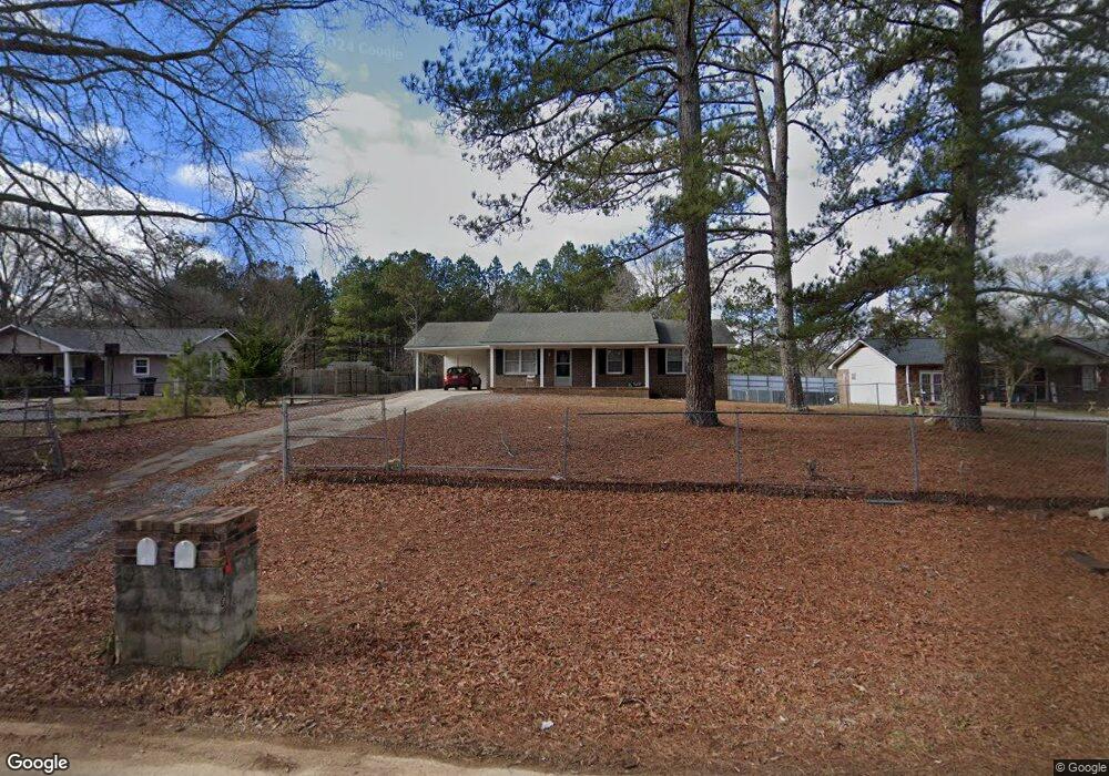
110 Berry Rd Cedartown, GA 30125
Estimated Value: $172,145 - $208,000
3
Beds
1
Bath
1,136
Sq Ft
$167/Sq Ft
Est. Value
About This Home
This home is located at 110 Berry Rd, Cedartown, GA 30125 and is currently estimated at $189,286, approximately $166 per square foot. 110 Berry Rd is a home located in Polk County with nearby schools including Cedar Christian School.
Ownership History
Date
Name
Owned For
Owner Type
Purchase Details
Closed on
Nov 10, 2000
Sold by
Williams Phillip A and Thomasson Phillip D
Bought by
Segura Raul B
Current Estimated Value
Purchase Details
Closed on
Aug 1, 2000
Sold by
Anderson Billy D
Bought by
Williams Phillip A and Thom Phillip D
Purchase Details
Closed on
Aug 14, 1992
Sold by
Jarrell Bobby and Jarrell
Bought by
Anderson Billy D
Purchase Details
Closed on
Jan 19, 1984
Sold by
Farmers Home Admin
Bought by
Jarrell Lee and Jarrell Mary F
Purchase Details
Closed on
Nov 16, 1982
Sold by
Dawson James A
Bought by
Farmers Home Admin
Purchase Details
Closed on
Jun 1, 1980
Sold by
Dawson James A
Bought by
Dawson James A
Purchase Details
Closed on
Feb 12, 1980
Sold by
G & H Development Co
Bought by
Dawson James A
Purchase Details
Closed on
Jul 13, 1979
Bought by
G & H Development Co
Purchase Details
Closed on
Jan 1, 1901
Create a Home Valuation Report for This Property
The Home Valuation Report is an in-depth analysis detailing your home's value as well as a comparison with similar homes in the area
Home Values in the Area
Average Home Value in this Area
Purchase History
| Date | Buyer | Sale Price | Title Company |
|---|---|---|---|
| Segura Raul B | $46,000 | -- | |
| Williams Phillip A | $36,000 | -- | |
| Anderson Billy D | -- | -- | |
| Jarrell Lee | -- | -- | |
| Farmers Home Admin | -- | -- | |
| Dawson James A | -- | -- | |
| Dawson James A | -- | -- | |
| G & H Development Co | -- | -- | |
| -- | -- | -- |
Source: Public Records
Tax History Compared to Growth
Tax History
| Year | Tax Paid | Tax Assessment Tax Assessment Total Assessment is a certain percentage of the fair market value that is determined by local assessors to be the total taxable value of land and additions on the property. | Land | Improvement |
|---|---|---|---|---|
| 2024 | $1,063 | $50,864 | $2,760 | $48,104 |
| 2023 | $784 | $33,056 | $2,760 | $30,296 |
| 2022 | $679 | $28,616 | $2,760 | $25,856 |
| 2021 | $688 | $28,616 | $2,760 | $25,856 |
| 2020 | $689 | $28,616 | $2,760 | $25,856 |
| 2019 | $640 | $23,838 | $2,720 | $21,118 |
| 2018 | $638 | $23,168 | $2,720 | $20,448 |
| 2017 | $630 | $23,168 | $2,720 | $20,448 |
| 2016 | $630 | $23,168 | $2,720 | $20,448 |
| 2015 | $640 | $23,436 | $2,720 | $20,716 |
| 2014 | $571 | $20,763 | $2,376 | $18,387 |
Source: Public Records
Map
Nearby Homes
- 0 Old Esom Hill Loop Unit 7654342
- 0 Old Esom Hill Loop Unit 10611077
- 0 Cornelius Rd Unit 7646589
- 255 Reynolds Rd
- 966 Judkin Mill Rd
- 0 Judkin Mill Rd Unit LotWP001 19369404
- 325 Fairview Ave
- 293 4th St
- 2460 Hidden Creek Rd
- 35 Harris Loop
- 382 5th St
- 1106 Frances St
- 497 Judkin Mill Rd
- 149 Irwin St
- 151 W Ellawood Ave
- 729 S College St
- 119 New Harmony Rd
- 35 Old Mill Rd
- 120 Berry Rd
- 100 Berry Rd
- 130 Berry Rd
- 117 Berry Rd
- 103 Berry Rd
- 191 Berry Rd
- 80 Berry Rd
- 131 Berry Rd
- 77 Berry Rd
- 70 Berry Rd
- 73 Berry Rd
- 731 Piedmont Hwy
- 60 Berry Rd
- 165 Berry Rd
- 3 Ridgeview Dr
- 37 Berry Rd
- 190 Berry Rd
- 0 Us Highway 278 Unit 4215702
- 0 Us Highway 278 Unit 7476353
- 0 Us Highway 278 Unit 10400632