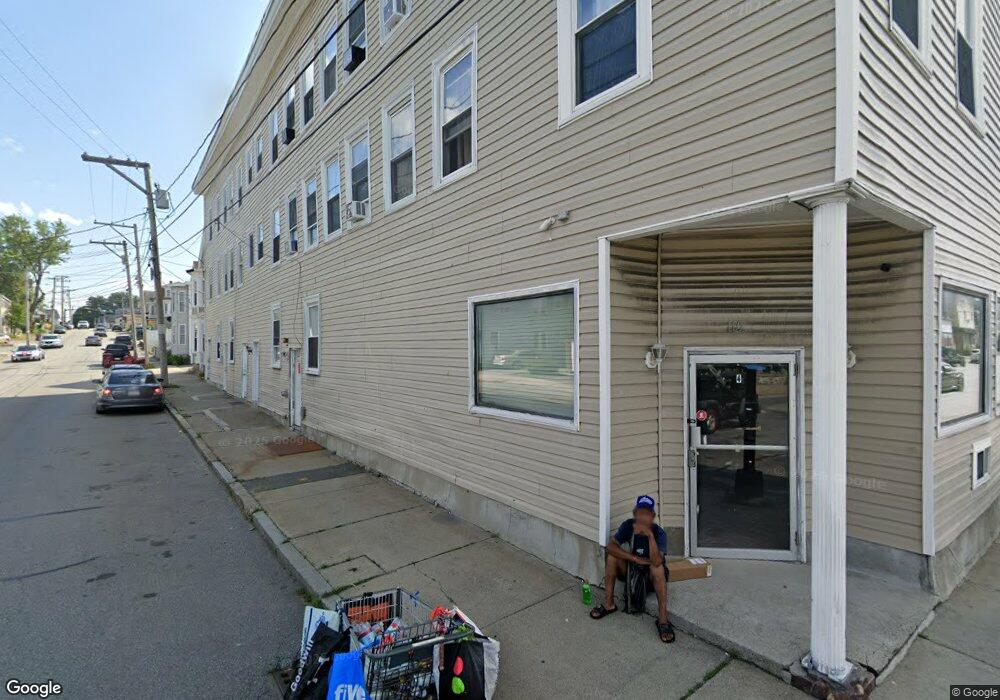
110 Branch St Unit 3 Lowell, MA 01851
Lower Highlands NeighborhoodEstimated Value: $166,000 - $318,000
1
Bed
1
Bath
479
Sq Ft
$446/Sq Ft
Est. Value
About This Home
This home is located at 110 Branch St Unit 3, Lowell, MA 01851 and is currently estimated at $213,829, approximately $446 per square foot. 110 Branch St Unit 3 is a home located in Middlesex County with nearby schools including Charles W. Morey Elementary School, Abraham Lincoln Elementary School, and Charlotte M. Murkland Elementary School.
Ownership History
Date
Name
Owned For
Owner Type
Purchase Details
Closed on
Aug 31, 2006
Sold by
Wang Jing-Wei and Wang Ming
Bought by
Cloutier Thomas W
Current Estimated Value
Home Financials for this Owner
Home Financials are based on the most recent Mortgage that was taken out on this home.
Original Mortgage
$75,000
Outstanding Balance
$45,432
Interest Rate
6.83%
Mortgage Type
Purchase Money Mortgage
Estimated Equity
$168,397
Create a Home Valuation Report for This Property
The Home Valuation Report is an in-depth analysis detailing your home's value as well as a comparison with similar homes in the area
Home Values in the Area
Average Home Value in this Area
Purchase History
| Date | Buyer | Sale Price | Title Company |
|---|---|---|---|
| Cloutier Thomas W | $75,000 | -- |
Source: Public Records
Mortgage History
| Date | Status | Borrower | Loan Amount |
|---|---|---|---|
| Open | Cloutier Thomas W | $75,000 |
Source: Public Records
Tax History Compared to Growth
Tax History
| Year | Tax Paid | Tax Assessment Tax Assessment Total Assessment is a certain percentage of the fair market value that is determined by local assessors to be the total taxable value of land and additions on the property. | Land | Improvement |
|---|---|---|---|---|
| 2025 | $972 | $84,700 | $0 | $84,700 |
| 2024 | $917 | $77,000 | $0 | $77,000 |
| 2023 | $846 | $68,100 | $0 | $68,100 |
| 2022 | $805 | $63,400 | $0 | $63,400 |
| 2021 | $802 | $59,600 | $0 | $59,600 |
| 2020 | $771 | $57,700 | $0 | $57,700 |
| 2019 | $830 | $59,100 | $0 | $59,100 |
| 2018 | $781 | $54,300 | $0 | $54,300 |
| 2017 | $765 | $51,300 | $0 | $51,300 |
| 2016 | $720 | $47,500 | $0 | $47,500 |
| 2015 | $721 | $46,600 | $0 | $46,600 |
| 2013 | $887 | $59,100 | $0 | $59,100 |
Source: Public Records
Map
Nearby Homes
- 490 School St Unit 2
- 21 Kimball Ave
- 42 Branch St
- 173 Westford St
- 19 Lawton St
- 45 Marshall St
- 100 Lane St
- 27 Royal St
- 312 Wilder St
- 28 Grand St
- 11 Columbus Ave
- 18 Burgess St
- 710 School St
- 1149 Middlesex St
- 48 E St
- 491 Dutton St Unit 320
- 491 Dutton St Unit 403
- 491 Dutton St Unit 415
- 491 Dutton St Unit 502
- 491 Dutton St Unit 504
- 110 Branch St Unit 11
- 110 Branch St Unit 10
- 110 Branch St Unit 9
- 110 Branch St Unit 8
- 110 Branch St Unit 5
- 110 Branch St Unit 2
- 110 Branch St Unit 1
- 110 Branch St Unit 6
- 110 Branch St Unit 4
- 110 Branch St
- 118 Branch St
- 110 Branch St U2 U5
- 122 Branch St
- 1 Ames Place
- 503 School St
- 117 Branch St Unit B
- 117 Branch St
- 3 Ames Place
- 126 Branch St
- 115 Branch St Unit A