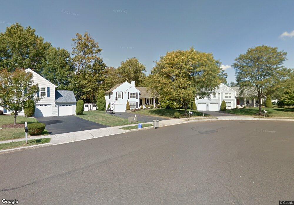
110 Brantford Cir Horsham, PA 19044
Estimated Value: $537,927 - $607,000
3
Beds
3
Baths
1,624
Sq Ft
$352/Sq Ft
Est. Value
About This Home
This home is located at 110 Brantford Cir, Horsham, PA 19044 and is currently estimated at $571,232, approximately $351 per square foot. 110 Brantford Cir is a home located in Montgomery County with nearby schools including Simmons Elementary School, Keith Valley Middle School, and Hatboro-Horsham Senior High School.
Ownership History
Date
Name
Owned For
Owner Type
Purchase Details
Closed on
Aug 7, 2020
Sold by
Barben James F and Barben Betty Lee
Bought by
Armstrong Sabine F
Current Estimated Value
Home Financials for this Owner
Home Financials are based on the most recent Mortgage that was taken out on this home.
Original Mortgage
$312,000
Outstanding Balance
$276,766
Interest Rate
3%
Mortgage Type
New Conventional
Estimated Equity
$294,466
Purchase Details
Closed on
Aug 14, 1987
Bought by
Barben James F and Betty Lee
Create a Home Valuation Report for This Property
The Home Valuation Report is an in-depth analysis detailing your home's value as well as a comparison with similar homes in the area
Home Values in the Area
Average Home Value in this Area
Purchase History
| Date | Buyer | Sale Price | Title Company |
|---|---|---|---|
| Armstrong Sabine F | $390,000 | None Available | |
| Barben James F | $150,000 | -- |
Source: Public Records
Mortgage History
| Date | Status | Borrower | Loan Amount |
|---|---|---|---|
| Open | Armstrong Sabine F | $312,000 |
Source: Public Records
Tax History Compared to Growth
Tax History
| Year | Tax Paid | Tax Assessment Tax Assessment Total Assessment is a certain percentage of the fair market value that is determined by local assessors to be the total taxable value of land and additions on the property. | Land | Improvement |
|---|---|---|---|---|
| 2025 | $6,073 | $154,480 | $48,230 | $106,250 |
| 2024 | $6,073 | $154,480 | $48,230 | $106,250 |
| 2023 | $5,781 | $154,480 | $48,230 | $106,250 |
| 2022 | $5,593 | $154,480 | $48,230 | $106,250 |
| 2021 | $5,460 | $154,480 | $48,230 | $106,250 |
| 2020 | $5,332 | $154,480 | $48,230 | $106,250 |
| 2019 | $5,229 | $154,480 | $48,230 | $106,250 |
| 2018 | $4,143 | $154,480 | $48,230 | $106,250 |
| 2017 | $4,995 | $154,480 | $48,230 | $106,250 |
| 2016 | $4,934 | $154,480 | $48,230 | $106,250 |
| 2015 | $4,713 | $154,480 | $48,230 | $106,250 |
| 2014 | $4,713 | $154,480 | $48,230 | $106,250 |
Source: Public Records
Map
Nearby Homes
- 221 Winchester Dr
- 603 Norristown Rd
- 18 Hunt Dr
- 124 Sarahs Ln
- 132 Hunt Dr
- 159 Hunt Dr
- 585 Colonial Dr
- 45 Ember Ln
- Lot 46 Bryce Dr
- Lot 49 Bryce Dr
- 738 LOT 2 Emory Ct
- Lot 42 Emory Ct
- Lot 42 Emory Ct
- Lot 9 Bryce Dr
- 80 Whetstone Rd
- 826 LOT 16 Carlsbad Ct
- Lot 45 Emory Ct
- Lot 10 Bryce Dr
- 996 Whitney Ln
- 4 Beaver Hill Rd
- 108 Brantford Cir
- 112 Brantford Cir
- 17 Woodbridge Cir
- 19 Woodbridge Cir
- 109 Brantford Cir
- 15 Woodbridge Cir
- 21 Woodbridge Cir
- 103 Brantford Cir
- 107 Brantford Cir
- 104 Brantford Cir Unit 3
- 105 Brantford Cir
- 13 Woodbridge Cir
- 200 Winchester Dr
- 18 Woodbridge Cir
- 108 Wynmere Dr
- 118 Wynmere Dr
- 112 Wynmere Dr
- 102 Brantford Cir
- 114 Wynmere Dr
- 110 Wynmere Dr