110 Burrwood Common Unit ROAD Fairfield, CT 06824
Greenfield Hill NeighborhoodEstimated Value: $2,523,000 - $3,094,000
5
Beds
7
Baths
6,940
Sq Ft
$403/Sq Ft
Est. Value
About This Home
This home is located at 110 Burrwood Common Unit ROAD, Fairfield, CT 06824 and is currently estimated at $2,796,943, approximately $403 per square foot. 110 Burrwood Common Unit ROAD is a home located in Fairfield County with nearby schools including Burr Elementary School, Tomlinson Middle School, and Fairfield Warde High School.
Ownership History
Date
Name
Owned For
Owner Type
Purchase Details
Closed on
Dec 9, 2010
Sold by
Gentemann Patrick and Gentemann Patricia
Bought by
Grosman Ilas and Grosman Polina
Current Estimated Value
Home Financials for this Owner
Home Financials are based on the most recent Mortgage that was taken out on this home.
Original Mortgage
$708,500
Outstanding Balance
$468,568
Interest Rate
4.24%
Estimated Equity
$2,328,375
Purchase Details
Closed on
Dec 1, 2005
Sold by
Bienashski David S
Bought by
Gentemann Patrick and Gentemann Patricia
Create a Home Valuation Report for This Property
The Home Valuation Report is an in-depth analysis detailing your home's value as well as a comparison with similar homes in the area
Home Values in the Area
Average Home Value in this Area
Purchase History
| Date | Buyer | Sale Price | Title Company |
|---|---|---|---|
| Grosman Ilas | $1,500,000 | -- | |
| Grosman Ilas | $1,500,000 | -- | |
| Gentemann Patrick | $725,000 | -- | |
| Gentemann Patrick | $725,000 | -- |
Source: Public Records
Mortgage History
| Date | Status | Borrower | Loan Amount |
|---|---|---|---|
| Open | Gentemann Patrick | $418,000 | |
| Open | Gentemann Patrick | $708,500 | |
| Closed | Gentemann Patrick | $708,500 | |
| Previous Owner | Gentemann Patrick | $500,000 |
Source: Public Records
Tax History Compared to Growth
Tax History
| Year | Tax Paid | Tax Assessment Tax Assessment Total Assessment is a certain percentage of the fair market value that is determined by local assessors to be the total taxable value of land and additions on the property. | Land | Improvement |
|---|---|---|---|---|
| 2025 | $26,419 | $930,580 | $255,570 | $675,010 |
| 2024 | $25,963 | $930,580 | $255,570 | $675,010 |
| 2023 | $25,600 | $930,580 | $255,570 | $675,010 |
| 2022 | $25,349 | $930,580 | $255,570 | $675,010 |
| 2021 | $25,107 | $930,580 | $255,570 | $675,010 |
| 2020 | $33,378 | $1,245,930 | $322,840 | $923,090 |
| 2019 | $33,378 | $1,245,930 | $322,840 | $923,090 |
| 2018 | $32,843 | $1,245,930 | $322,840 | $923,090 |
| 2017 | $32,170 | $1,245,930 | $322,840 | $923,090 |
| 2016 | $31,709 | $1,245,930 | $322,840 | $923,090 |
| 2015 | $30,368 | $1,225,000 | $338,870 | $886,130 |
| 2014 | $29,890 | $1,225,000 | $338,870 | $886,130 |
Source: Public Records
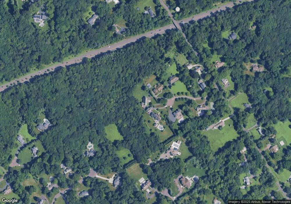
Map
Nearby Homes
- 2959 Congress St
- 2492 Congress St
- 109 Buckboard Ln
- 3853 Congress St
- 312 Towne House Rd
- 947 Galloping Hill Rd
- 342 Midlock Rd
- 750 Burr St
- 99 Old Academy Rd
- 4800 Congress St
- 22 Brett Rd
- 2281 Redding Rd
- 2015 Redding Rd
- 251 Winnepoge Dr
- 180 Catamount Rd
- 158 Coventry Ln
- 2683 Bronson Rd
- 2775 North St
- 25 Millspaugh Dr
- 76 Burr St
- 110 Burrwood Common
- 100 Burrwood Common
- 115 Burrwood Common
- 70 Burrwood Common
- 99 Burrwood Common
- 1555 Burr St
- 35 Burrwood Common
- 120 Senate Ln
- 1711 Burr St
- 240 High Point Ln
- 1751 Burr St
- 1568 Burr St
- 1506 Burr St
- 1865 Burr St
- 1475 Burr St
- 245 High Point Ln
- 115 Senate Ln
- 100 Calf Pond Ln
- 108 Senate Ln
- 220 High Point Ln