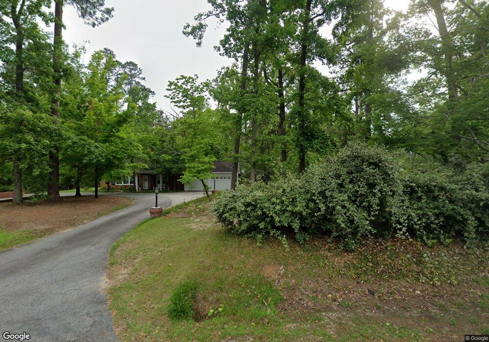
110 Cain St Swainsboro, GA 30401
Estimated Value: $260,000 - $399,000
4
Beds
4
Baths
3,681
Sq Ft
$92/Sq Ft
Est. Value
About This Home
This home is located at 110 Cain St, Swainsboro, GA 30401 and is currently estimated at $339,099, approximately $92 per square foot. 110 Cain St is a home located in Emanuel County with nearby schools including Swainsboro Primary School, Swainsboro Elementary School, and Swainsboro Middle School.
Ownership History
Date
Name
Owned For
Owner Type
Purchase Details
Closed on
Jul 24, 2003
Sold by
Sconyers Norma H
Bought by
Sconyers Julian
Current Estimated Value
Purchase Details
Closed on
Feb 1, 2000
Sold by
Smith Mary Helen M
Bought by
Sconyers Norma H
Create a Home Valuation Report for This Property
The Home Valuation Report is an in-depth analysis detailing your home's value as well as a comparison with similar homes in the area
Home Values in the Area
Average Home Value in this Area
Purchase History
| Date | Buyer | Sale Price | Title Company |
|---|---|---|---|
| Sconyers Julian | -- | -- | |
| Sconyers Norma H | $140,000 | -- |
Source: Public Records
Tax History Compared to Growth
Tax History
| Year | Tax Paid | Tax Assessment Tax Assessment Total Assessment is a certain percentage of the fair market value that is determined by local assessors to be the total taxable value of land and additions on the property. | Land | Improvement |
|---|---|---|---|---|
| 2024 | $5,480 | $141,009 | $3,183 | $137,826 |
| 2023 | $2,980 | $127,471 | $3,183 | $124,288 |
| 2022 | $2,738 | $112,285 | $3,772 | $108,513 |
| 2021 | $2,651 | $106,673 | $3,280 | $103,393 |
| 2020 | $1,932 | $74,293 | $5,126 | $69,167 |
| 2019 | $1,932 | $74,293 | $5,126 | $69,167 |
| 2018 | $1,964 | $74,293 | $5,126 | $69,167 |
| 2017 | $1,970 | $74,293 | $5,126 | $69,167 |
| 2016 | $1,917 | $74,293 | $5,126 | $69,167 |
| 2015 | -- | $74,902 | $5,735 | $69,167 |
| 2014 | -- | $74,097 | $5,735 | $68,362 |
| 2013 | -- | $73,659 | $5,735 | $67,924 |
Source: Public Records
Map
Nearby Homes
- 547 W Moring St
- 532 Calhoun St
- 327 W Church St
- 316 W Moring St
- 219 Lucky St
- 555 Jordan Ln
- 209 Price St
- 331 S Green St
- 323 N Main St
- 400 N Main St
- 402 N Main St
- 508 Barbara Ave
- 14.53 ACRES Gumlog Rd
- 727 Old Nunez Rd
- 625 N Main St
- 118 Pierce Ave
- 423 E Martin Luther King Junior Blvd
- 646 N Main St
- 115 Anns Dr
- 217 Fowler St
- 419 W Main St
- 540 W Moring St
- 35 Mockingbird Rd
- 419 W Moring St
- 422 W Main St
- 0 W Moring St Unit 8624933
- W W Moring St
- 416 W Main St
- 521 W Moring St
- 420 W Main St
- 504 W Main St
- 550 W Moring St
- 418 W Main St
- 108 Victory Dr
- 53 Mockingbird Rd
- 111 Tyson St
- 203 Sycamore St
- 210 Sycamore St
- 410 W Main St
- 409 W Main St