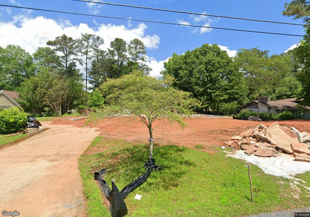
110 Candy Cir Carrollton, GA 30117
Estimated Value: $115,265 - $372,000
3
Beds
3
Baths
2,743
Sq Ft
$108/Sq Ft
Est. Value
About This Home
This home is located at 110 Candy Cir, Carrollton, GA 30117 and is currently estimated at $296,816, approximately $108 per square foot. 110 Candy Cir is a home located in Carroll County with nearby schools including Carrollton Elementary School, Carrollton Upper Elementary School, and Carrollton Middle School.
Ownership History
Date
Name
Owned For
Owner Type
Purchase Details
Closed on
Sep 21, 2007
Sold by
Hildebrand David
Bought by
Munoz Vincento and Munoz Laura
Current Estimated Value
Purchase Details
Closed on
Sep 9, 2003
Sold by
Hildebrand David P and Hildebrand Brent W
Bought by
Munoz Vincente and Munoz Laura
Purchase Details
Closed on
Aug 1, 1973
Sold by
Nellans Richard L and Nellans Mary
Bought by
Hilderbrand David P and Hilderbrand Brent W
Purchase Details
Closed on
Jul 6, 1972
Sold by
Phiilips Earl and Phiilips Faye J
Bought by
Nellans Richard L and Nellans Mary
Purchase Details
Closed on
May 23, 1970
Sold by
Phillips Earl
Bought by
Phillips Earl and Phillips Faye J
Create a Home Valuation Report for This Property
The Home Valuation Report is an in-depth analysis detailing your home's value as well as a comparison with similar homes in the area
Home Values in the Area
Average Home Value in this Area
Purchase History
| Date | Buyer | Sale Price | Title Company |
|---|---|---|---|
| Munoz Vincento | $3,450 | -- | |
| Munoz Vincente | $172,500 | -- | |
| Hilderbrand David P | -- | -- | |
| Nellans Richard L | -- | -- | |
| Phillips Earl | -- | -- |
Source: Public Records
Tax History
| Year | Tax Paid | Tax Assessment Tax Assessment Total Assessment is a certain percentage of the fair market value that is determined by local assessors to be the total taxable value of land and additions on the property. | Land | Improvement |
|---|---|---|---|---|
| 2025 | $397 | $18,986 | $10,000 | $8,986 |
| 2024 | $3,143 | $136,439 | $10,000 | $126,439 |
| 2023 | $3,143 | $125,536 | $10,000 | $115,536 |
| 2022 | $2,423 | $97,549 | $10,000 | $87,549 |
| 2021 | $2,151 | $85,744 | $10,000 | $75,744 |
| 2020 | $1,955 | $77,166 | $10,000 | $67,166 |
| 2019 | $1,552 | $59,061 | $6,000 | $53,061 |
| 2018 | $1,462 | $54,318 | $6,000 | $48,318 |
| 2017 | $1,469 | $54,318 | $6,000 | $48,318 |
| 2016 | $1,477 | $54,318 | $6,000 | $48,318 |
| 2015 | $1,355 | $47,877 | $8,000 | $39,878 |
| 2014 | $1,361 | $47,878 | $8,000 | $39,878 |
Source: Public Records
Map
Nearby Homes
- 104 Kingston Cir
- 121 Wilson Cir
- 108 Hunter Way
- 231 N Lakeshore Dr
- 111 Lakeview Dr
- 310 Turtle Pointe Dr
- 211 Stoney Point Cove
- 111 Green Point Way
- 255 Morgan Rd
- 114 Green Point Way
- 107 Grove Park Dr
- 255 Morgan D2 Rd
- 107 Burns Rd Unit LOT 2
- 107 Burns Rd
- 109 Burns Rd Unit LOT 3
- 109 Burns Rd
- 383 Morgan Rd
- 105 Burns Rd
- 105 Burns Rd Unit LOT 1
- 809 College St
Your Personal Tour Guide
Ask me questions while you tour the home.