110 Chase Brook Dr Alexander, ME 04694
Estimated Value: $361,825 - $443,000
3
Beds
4
Baths
2,770
Sq Ft
$147/Sq Ft
Est. Value
About This Home
This home is located at 110 Chase Brook Dr, Alexander, ME 04694 and is currently estimated at $405,956, approximately $146 per square foot. 110 Chase Brook Dr is a home located in Washington County with nearby schools including Alexander Elementary School and Downeast Christian School.
Ownership History
Date
Name
Owned For
Owner Type
Purchase Details
Closed on
Mar 1, 2018
Sold by
Maxwell Nathan J and Maxwell Melissa A
Bought by
Hill Courtney and Hill James Chad
Current Estimated Value
Home Financials for this Owner
Home Financials are based on the most recent Mortgage that was taken out on this home.
Original Mortgage
$261,250
Outstanding Balance
$222,038
Interest Rate
4.04%
Mortgage Type
New Conventional
Estimated Equity
$183,918
Create a Home Valuation Report for This Property
The Home Valuation Report is an in-depth analysis detailing your home's value as well as a comparison with similar homes in the area
Home Values in the Area
Average Home Value in this Area
Purchase History
| Date | Buyer | Sale Price | Title Company |
|---|---|---|---|
| Hill Courtney | -- | -- |
Source: Public Records
Mortgage History
| Date | Status | Borrower | Loan Amount |
|---|---|---|---|
| Open | Hill Courtney | $261,250 |
Source: Public Records
Tax History Compared to Growth
Tax History
| Year | Tax Paid | Tax Assessment Tax Assessment Total Assessment is a certain percentage of the fair market value that is determined by local assessors to be the total taxable value of land and additions on the property. | Land | Improvement |
|---|---|---|---|---|
| 2024 | $3,884 | $287,702 | $112,268 | $175,434 |
| 2023 | $3,546 | $208,600 | $86,400 | $122,200 |
| 2022 | $3,588 | $208,600 | $86,400 | $122,200 |
| 2021 | $3,692 | $208,600 | $86,400 | $122,200 |
| 2020 | $3,797 | $208,600 | $86,400 | $122,200 |
| 2019 | $3,880 | $208,600 | $86,400 | $122,200 |
| 2018 | $3,546 | $208,600 | $86,400 | $122,200 |
| 2017 | $3,380 | $203,600 | $86,400 | $117,200 |
| 2016 | $3,349 | $203,600 | $86,400 | $117,200 |
| 2015 | $3,915 | $245,441 | $91,541 | $153,900 |
| 2013 | $3,952 | $245,441 | $91,541 | $153,900 |
Source: Public Records
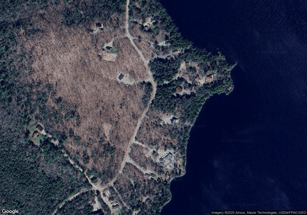
Map
Nearby Homes
- 19 Chase Rd
- 47 Chase Rd
- 20 Chase Brook Dr
- 012-009 Airline Rd
- 236 Berry Rd
- 481 Airline Rd
- Lot 8 Airline Rd
- Lot 53 Robb Hill Rd
- 35 Maple St
- 10 Palm St
- 41 Hickory Ln
- 60 Summit St
- 105 Broadway St
- Lot 10 Route 1
- 0 Ryan Rd
- M2/L2-2 S Princeton Rd
- M2/L2-3 S Princeton Rd
- 954 S Princeton Rd
- #002-006 Hilltop Ln
- 18 + 24 Sunny Cove Ln
- 94 Chase Brook Dr
- 93 Chase Brook Dr
- 132 Chase Brook Dr
- 120 Chase Brook Dr
- 126 Chase Brook Dr
- 82 Chase Brook Dr
- 84 Chase Brook Dr
- 136 Chase Brook Dr
- 76 Chase Brook Dr
- 142 Chase Brook Dr
- 77 Chase Brook Dr
- 70 Chase Brook Dr
- 144 Chase Brook Dr
- 143 Chase Brook Dr
- 60 Chase Brook Dr
- 48 Chase Brook Dr
- 40 Chase Brook Dr
- 200 Chase Brook Dr
- 200 Chase Brook Dr
- 200 Chase Brook Dr