110 Cheryl Ct Kings Mountain, NC 28086
Estimated Value: $120,056 - $208,000
3
Beds
2
Baths
1,276
Sq Ft
$129/Sq Ft
Est. Value
About This Home
This home is located at 110 Cheryl Ct, Kings Mountain, NC 28086 and is currently estimated at $164,028, approximately $128 per square foot. 110 Cheryl Ct is a home located in Cleveland County with nearby schools including Washington Elementary School, Burns Middle, and Burns High School.
Ownership History
Date
Name
Owned For
Owner Type
Purchase Details
Closed on
Dec 31, 2015
Sold by
Scism Judith Dellinger
Bought by
Allen Jerry L
Current Estimated Value
Purchase Details
Closed on
Oct 31, 2012
Sold by
Green Tree Servicing Llc
Bought by
Scism Paul A and Southern Grading
Purchase Details
Closed on
Aug 24, 2012
Sold by
Spizzo John Patrick
Bought by
Green Tree Servicing Llc and Conseco Finance Servicing Corp
Create a Home Valuation Report for This Property
The Home Valuation Report is an in-depth analysis detailing your home's value as well as a comparison with similar homes in the area
Home Values in the Area
Average Home Value in this Area
Purchase History
| Date | Buyer | Sale Price | Title Company |
|---|---|---|---|
| Allen Jerry L | $19,500 | None Available | |
| Scism Paul A | $24,500 | None Available | |
| Green Tree Servicing Llc | $53,000 | None Available |
Source: Public Records
Tax History Compared to Growth
Tax History
| Year | Tax Paid | Tax Assessment Tax Assessment Total Assessment is a certain percentage of the fair market value that is determined by local assessors to be the total taxable value of land and additions on the property. | Land | Improvement |
|---|---|---|---|---|
| 2025 | $342 | $53,879 | $30,176 | $23,703 |
| 2024 | $423 | $43,091 | $30,208 | $12,883 |
| 2023 | $421 | $43,091 | $30,208 | $12,883 |
| 2022 | $421 | $43,091 | $30,208 | $12,883 |
| 2021 | $421 | $43,091 | $30,208 | $12,883 |
| 2020 | $435 | $43,729 | $28,042 | $15,687 |
| 2019 | $435 | $43,729 | $28,042 | $15,687 |
| 2018 | $431 | $43,729 | $28,042 | $15,687 |
| 2017 | $429 | $43,729 | $28,042 | $15,687 |
| 2016 | $407 | $43,729 | $28,042 | $15,687 |
| 2015 | $580 | $65,609 | $24,598 | $41,011 |
| 2014 | $580 | $65,609 | $24,598 | $41,011 |
Source: Public Records
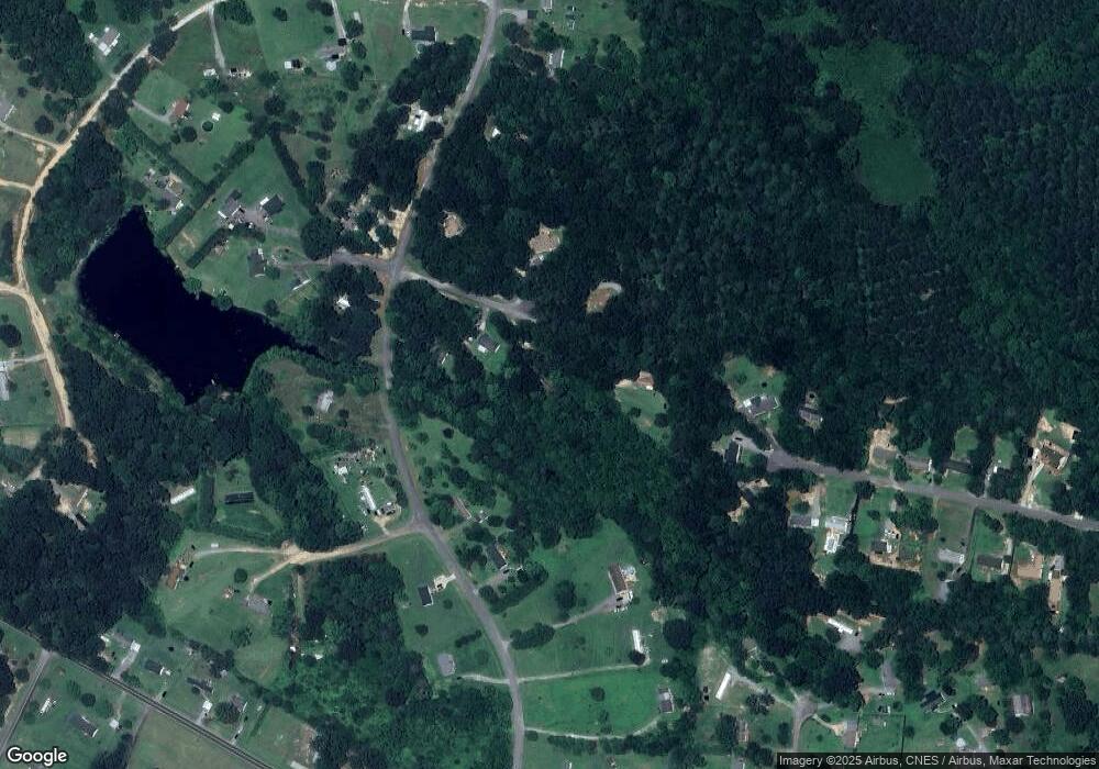
Map
Nearby Homes
- 155 Castle Ct
- 103 Amy Dr
- 109 Belmar Rd
- 5212 Timber Creek Ct
- 2198 County Line Rd
- 5324 Weblee Ct
- 213 Press Sweezy Rd
- 00 Gary Beam Rd
- 3367 Marshall Wolfe Rd
- 5112 Southbrook Dr
- 00 Marys Grove Church Rd
- 5107 Southbrook Dr
- 130 Sunnyside Shady Rest Rd
- 125 Bridges Cir
- 608 Rollingbrook Rd
- 866 Marys Grove Rd
- 124 Rollingbrook Rd
- 1756 Martin Rd
- 875 Marys Grove Rd
- 215 J Robinson Pkwy