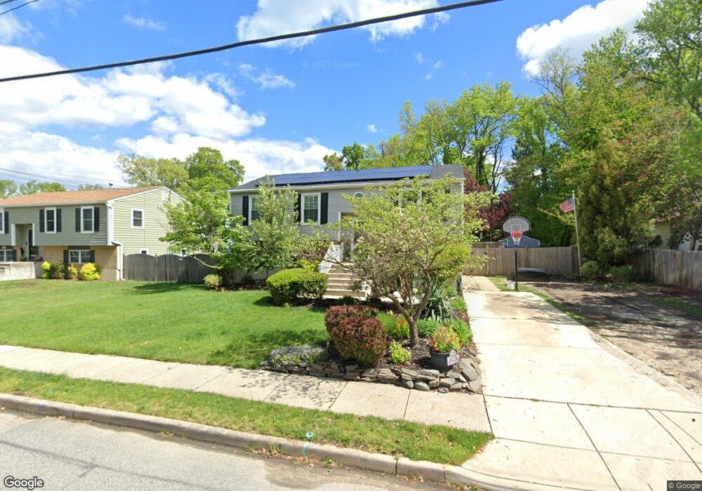
110 Chestnut St West Deptford, NJ 08096
West Deptford Township NeighborhoodEstimated Value: $402,000
--
Bed
--
Bath
2,076
Sq Ft
$194/Sq Ft
Est. Value
About This Home
This home is located at 110 Chestnut St, West Deptford, NJ 08096 and is currently estimated at $402,000, approximately $193 per square foot. 110 Chestnut St is a home located in Gloucester County with nearby schools including Oakview Elementary School, Red Bank Elementary School, and Green-Fields Elementary School.
Ownership History
Date
Name
Owned For
Owner Type
Purchase Details
Closed on
Oct 8, 2021
Sold by
Long Robert B and Long Donna M
Current Estimated Value
Home Financials for this Owner
Home Financials are based on the most recent Mortgage that was taken out on this home.
Original Mortgage
$231,200
Outstanding Balance
$175,449
Interest Rate
2.15%
Mortgage Type
New Conventional
Estimated Equity
$226,551
Purchase Details
Closed on
Feb 18, 2002
Sold by
Hughes Carole L
Bought by
Long Robert B
Home Financials for this Owner
Home Financials are based on the most recent Mortgage that was taken out on this home.
Original Mortgage
$131,520
Interest Rate
6.91%
Mortgage Type
VA
Create a Home Valuation Report for This Property
The Home Valuation Report is an in-depth analysis detailing your home's value as well as a comparison with similar homes in the area
Home Values in the Area
Average Home Value in this Area
Purchase History
| Date | Buyer | Sale Price | Title Company |
|---|---|---|---|
| -- | $289,000 | Chicago Title Insurance Co | |
| Long Robert B | $128,000 | Old Republic Natl Title Ins |
Source: Public Records
Mortgage History
| Date | Status | Borrower | Loan Amount |
|---|---|---|---|
| Open | -- | $231,200 | |
| Previous Owner | Long Robert B | $131,520 |
Source: Public Records
Tax History Compared to Growth
Tax History
| Year | Tax Paid | Tax Assessment Tax Assessment Total Assessment is a certain percentage of the fair market value that is determined by local assessors to be the total taxable value of land and additions on the property. | Land | Improvement |
|---|---|---|---|---|
| 2025 | $7,571 | $216,800 | $59,500 | $157,300 |
| 2024 | $6,698 | $216,800 | $59,500 | $157,300 |
| 2023 | $6,698 | $194,300 | $59,500 | $134,800 |
| 2022 | $6,698 | $194,300 | $59,500 | $134,800 |
| 2021 | $6,122 | $194,300 | $59,500 | $134,800 |
| 2020 | $6,122 | $194,300 | $59,500 | $134,800 |
| 2019 | $0 | $194,300 | $59,500 | $134,800 |
| 2018 | $0 | $194,300 | $59,500 | $134,800 |
| 2017 | $6,122 | $194,300 | $59,500 | $134,800 |
| 2016 | $5,951 | $194,300 | $59,500 | $134,800 |
| 2015 | $5,670 | $194,300 | $59,500 | $134,800 |
| 2014 | $5,388 | $194,300 | $59,500 | $134,800 |
Source: Public Records
Map
Nearby Homes
- 654 Frances Ave
- 193 Dubois Ave
- 131 Watkins Ave
- 302 W Red Bank Ave
- 121 Crescent Ave
- 17 Watkins Ave
- 38 Watkins Ave
- 41 Crescent Ave
- 210 Lawnton Ave
- 626 Green St
- 70 Crescent Ave
- 1029 Tatum St
- 120 Progress Ave
- 112 Progress Ave
- 815 Harker Ave
- 46 Lynn Dr
- 7 Victorian Way
- 3 Victorian Way
- 2 Victorian Way
- 83 Lynn Dr