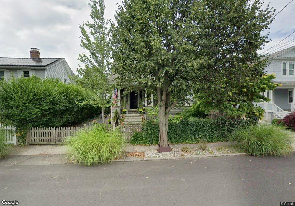
110 Clarkson St Bridgeport, CT 06605
Black Rock NeighborhoodEstimated Value: $416,000 - $648,000
3
Beds
1
Bath
1,458
Sq Ft
$366/Sq Ft
Est. Value
About This Home
This home is located at 110 Clarkson St, Bridgeport, CT 06605 and is currently estimated at $532,933, approximately $365 per square foot. 110 Clarkson St is a home located in Fairfield County with nearby schools including Holland Hill Elementary, Fairfield Ludlowe High School, and Park City Prep Charter School.
Ownership History
Date
Name
Owned For
Owner Type
Purchase Details
Closed on
Sep 17, 2001
Sold by
Hanrahan James and Hanrahan Virginia
Bought by
Travers Sean C and Travers Kelly
Current Estimated Value
Home Financials for this Owner
Home Financials are based on the most recent Mortgage that was taken out on this home.
Original Mortgage
$190,800
Interest Rate
6.99%
Create a Home Valuation Report for This Property
The Home Valuation Report is an in-depth analysis detailing your home's value as well as a comparison with similar homes in the area
Home Values in the Area
Average Home Value in this Area
Purchase History
| Date | Buyer | Sale Price | Title Company |
|---|---|---|---|
| Travers Sean C | $212,000 | -- | |
| Travers Sean C | $212,000 | -- |
Source: Public Records
Mortgage History
| Date | Status | Borrower | Loan Amount |
|---|---|---|---|
| Open | Travers Sean C | $189,000 | |
| Closed | Travers Sean C | $190,800 | |
| Previous Owner | Travers Sean C | $31,900 |
Source: Public Records
Tax History
| Year | Tax Paid | Tax Assessment Tax Assessment Total Assessment is a certain percentage of the fair market value that is determined by local assessors to be the total taxable value of land and additions on the property. | Land | Improvement |
|---|---|---|---|---|
| 2025 | $9,702 | $223,300 | $155,900 | $67,400 |
| 2024 | $9,702 | $223,300 | $155,900 | $67,400 |
| 2023 | $9,702 | $223,300 | $155,900 | $67,400 |
| 2022 | $9,702 | $223,300 | $155,900 | $67,400 |
| 2021 | $9,702 | $223,300 | $155,900 | $67,400 |
| 2020 | $8,321 | $154,130 | $92,500 | $61,630 |
| 2019 | $8,321 | $154,130 | $92,500 | $61,630 |
| 2018 | $8,380 | $154,130 | $92,500 | $61,630 |
| 2017 | $8,380 | $154,130 | $92,500 | $61,630 |
| 2016 | $8,380 | $154,130 | $92,500 | $61,630 |
| 2015 | $7,280 | $172,500 | $88,110 | $84,390 |
| 2014 | $7,280 | $172,500 | $88,110 | $84,390 |
Source: Public Records
Map
Nearby Homes
- 90 Clarkson St
- 377 Midland St
- 315 Seaside Ave
- 8-10 Jetland Place
- 97 Fayerweather Terrace
- 132 Bennett St Unit 302
- 165 Bennett St
- 3250 Fairfield Ave Unit 302
- 554 Brewster St Unit 4
- 318 Grovers Ave
- 27 Nash Ln Unit 5
- 78 Haddon St Unit 1
- 78 Rowsley St Unit 4
- 855 Brewster St Unit 857
- 115 King St Unit 117
- 22 Monroe St Unit 24
- 75 Hemlock St
- 287 Hansen Ave
- 188 Monroe St Unit 190
- 77 Meadowbrook Rd
- 100 Clarkson St
- 120 Clarkson St
- 616 Courtland Ave
- 626 Courtland Ave
- 602 Courtland Ave Unit 604
- 138 Clarkson St
- 614 Courtland Ave Unit 1
- 166 Gilman St
- 624 Courtland Ave
- 634 Courtland Ave Unit 636
- 80 Clarkson St
- 664 Courtland Ave
- 644 Courtland Ave Unit 646
- 91 Clarkson St
- 586 Courtland Ave Unit 586 Courtland Ave
- 586 Courtland Ave
- 160 Gilman St
- 584 Courtland Ave Unit 586
- 584 Courtland Ave
- 584 Courtland Ave Unit 584 courtland 1st fl
Your Personal Tour Guide
Ask me questions while you tour the home.