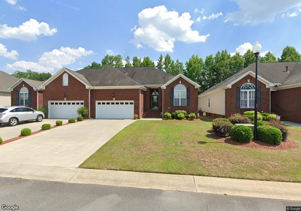
110 Commonsgate Dr Goldsboro, NC 27530
Estimated Value: $278,000 - $288,000
3
Beds
2
Baths
1,698
Sq Ft
$166/Sq Ft
Est. Value
About This Home
This home is located at 110 Commonsgate Dr, Goldsboro, NC 27530 and is currently estimated at $281,674, approximately $165 per square foot. 110 Commonsgate Dr is a home located in Wayne County with nearby schools including Tommy's Road Elementary School, Norwayne Middle School, and Charles B. Aycock High School.
Ownership History
Date
Name
Owned For
Owner Type
Purchase Details
Closed on
Jun 19, 2018
Sold by
Crowgey James L and Crowgey Susani
Bought by
Rouse Betty Carolyn
Current Estimated Value
Home Financials for this Owner
Home Financials are based on the most recent Mortgage that was taken out on this home.
Original Mortgage
$150,000
Outstanding Balance
$48,169
Interest Rate
4.5%
Mortgage Type
New Conventional
Estimated Equity
$233,505
Purchase Details
Closed on
Jul 25, 2013
Sold by
Coble Tony C and Coble Patsy B
Bought by
Crowgey James L and Crowgey Susan L
Home Financials for this Owner
Home Financials are based on the most recent Mortgage that was taken out on this home.
Original Mortgage
$128,000
Interest Rate
3.06%
Mortgage Type
New Conventional
Purchase Details
Closed on
Feb 1, 2003
Create a Home Valuation Report for This Property
The Home Valuation Report is an in-depth analysis detailing your home's value as well as a comparison with similar homes in the area
Home Values in the Area
Average Home Value in this Area
Purchase History
| Date | Buyer | Sale Price | Title Company |
|---|---|---|---|
| Rouse Betty Carolyn | $168,000 | None Available | |
| Crowgey James L | $160,000 | None Available | |
| -- | $153,500 | -- |
Source: Public Records
Mortgage History
| Date | Status | Borrower | Loan Amount |
|---|---|---|---|
| Open | Rouse Betty Carolyn | $150,000 | |
| Previous Owner | Crowgey James L | $128,000 |
Source: Public Records
Tax History Compared to Growth
Tax History
| Year | Tax Paid | Tax Assessment Tax Assessment Total Assessment is a certain percentage of the fair market value that is determined by local assessors to be the total taxable value of land and additions on the property. | Land | Improvement |
|---|---|---|---|---|
| 2025 | $3,371 | $256,160 | $35,000 | $221,160 |
| 2024 | $2,679 | $168,200 | $30,000 | $138,200 |
| 2023 | $2,477 | $168,200 | $30,000 | $138,200 |
| 2022 | $2,393 | $168,200 | $30,000 | $138,200 |
| 2021 | $2,334 | $168,200 | $30,000 | $138,200 |
| 2020 | $2,209 | $168,200 | $30,000 | $138,200 |
| 2018 | $2,328 | $177,240 | $30,000 | $147,240 |
| 2017 | $2,328 | $177,240 | $30,000 | $147,240 |
| 2016 | $2,328 | $177,240 | $30,000 | $147,240 |
| 2015 | $2,331 | $177,240 | $30,000 | $147,240 |
| 2014 | $2,333 | $177,240 | $30,000 | $147,240 |
Source: Public Records
Map
Nearby Homes
- 303 Commonsgate Dr
- 102 Essex Ct
- 317 Country Day Rd
- 409 Tryon Dr
- 900 Patetown Rd
- 106 Craig Point Dr
- 106 Kingston Cir
- 104 Kingston Cir
- 201 Grove Ln
- 101 Grove Ln
- CALI Plan at Magnolia Grove
- 214 King's Way
- 503 Ivory Ln
- 1108 Elanor Ave
- 312 Kingston Cir
- 2502 Bradford Place
- 2501 Isaac Dr
- 104 10th Place
- 1104 Wessex Ct
- 100 E Lockhaven Dr
- 108 Commonsgate Dr
- 200 Commonsgate Dr
- 202 Commonsgate Dr
- 106 Commonsgate Dr
- 104 Commonsgate Dr
- 204 Commonsgate Dr
- 111 Commonsgate Dr
- 206 Commonsgate Dr
- 201 Commonsgate Dr
- 102 Commonsgate Dr
- 109 Commonsgate Dr
- 203 Commonsgate Dr
- 208 Commonsgate Dr
- 100 Commonsgate Dr
- 100 Stonegate Ct
- 101 Stonegate Ct
- 210 Commonsgate Dr
- 102 Stonegate Ct
- 103 Stonegate Ct
- 301 Commonsgate Dr