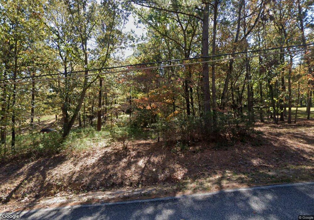
110 Crosscut Rd Alabaster, AL 35007
Estimated Value: $322,000 - $369,000
--
Bed
2
Baths
2,195
Sq Ft
$159/Sq Ft
Est. Value
About This Home
This home is located at 110 Crosscut Rd, Alabaster, AL 35007 and is currently estimated at $348,628, approximately $158 per square foot. 110 Crosscut Rd is a home located in Shelby County with nearby schools including Thompson Intermediate School, Thompson Middle School, and Thompson High School.
Ownership History
Date
Name
Owned For
Owner Type
Purchase Details
Closed on
Nov 7, 2023
Sold by
Mills Keith
Bought by
Mills Keith and Mills Caleb Matthew
Current Estimated Value
Purchase Details
Closed on
Aug 12, 2020
Sold by
Mills Keith and Mills Caleb Warren
Bought by
Mills Keith
Purchase Details
Closed on
Nov 17, 2003
Sold by
Flippo Vertis Wayne and Flippo Jane Ellen
Bought by
Mills Sharon B
Home Financials for this Owner
Home Financials are based on the most recent Mortgage that was taken out on this home.
Original Mortgage
$173,755
Interest Rate
5.97%
Mortgage Type
Unknown
Create a Home Valuation Report for This Property
The Home Valuation Report is an in-depth analysis detailing your home's value as well as a comparison with similar homes in the area
Home Values in the Area
Average Home Value in this Area
Purchase History
| Date | Buyer | Sale Price | Title Company |
|---|---|---|---|
| Mills Keith | -- | None Listed On Document | |
| Mills Keith | -- | None Listed On Document | |
| Mills Sharon B | $182,900 | -- |
Source: Public Records
Mortgage History
| Date | Status | Borrower | Loan Amount |
|---|---|---|---|
| Previous Owner | Mills Sharon B | $173,755 |
Source: Public Records
Tax History Compared to Growth
Tax History
| Year | Tax Paid | Tax Assessment Tax Assessment Total Assessment is a certain percentage of the fair market value that is determined by local assessors to be the total taxable value of land and additions on the property. | Land | Improvement |
|---|---|---|---|---|
| 2024 | $1,102 | $25,040 | $0 | $0 |
| 2023 | $959 | $22,720 | $0 | $0 |
| 2022 | $898 | $20,420 | $0 | $0 |
| 2021 | $784 | $18,740 | $0 | $0 |
| 2020 | $757 | $18,140 | $0 | $0 |
| 2019 | $731 | $17,540 | $0 | $0 |
| 2017 | $722 | $17,340 | $0 | $0 |
| 2015 | $674 | $16,240 | $0 | $0 |
| 2014 | $658 | $15,880 | $0 | $0 |
Source: Public Records
Map
Nearby Homes
- 15 Silver Ln
- 207 Stetson Ln
- 960 Camp Branch Rd
- 226 Thoroughbred Ln
- 105 Quarterhorse Ln
- 153 Shetland Trail Unit 201
- 1134 Camp Branch Cir
- 119 Walking Horse Trace Unit 17
- 327 Ridgeview Lake Rd
- 00 Deer Run Rd
- 551 Oakmont Dr Unit 3
- 2 Oakmont Dr Unit 2
- 3 Oakmont Dr Unit 3
- 2041 Lonesome Hen Ln
- 156 Lauchlin Ln
- 137 Broadmoor Ln
- 144 Cove Ln
- 213 Kinross Cir
- 101 Kinross Ln
- 816 Ballantrae Pkwy
- 50 Crosscut Rd
- 140 Crosscut Rd
- 1424 Camp Branch Rd
- 250 Crosscut Rd
- 1274 Camp Branch Rd
- 272 Crosscut Rd
- 1212 Camp Branch Rd
- 251 Saddle Lake Dr
- 45 Silver Ln
- 119 Sawmill Trace
- 119 Sawmill Trace Rd
- 248 Saddle Lake Dr
- 1200 Camp Branch Rd
- 2210 Massey Rd
- 247 Saddle Lake Dr Unit 1
- 1160 Camp Branch Rd
- 99 Silver Ln Unit 1
- 241 Saddle Lake Dr Unit 2
- 15.47 Crosscut Rd Unit 1A
- 2175 Massey Rd
