110 Dean St Unit 89 Taunton, MA 02780
City Center NeighborhoodEstimated Value: $344,000 - $370,000
2
Beds
2
Baths
1,350
Sq Ft
$261/Sq Ft
Est. Value
About This Home
This home is located at 110 Dean St Unit 89, Taunton, MA 02780 and is currently estimated at $352,448, approximately $261 per square foot. 110 Dean St Unit 89 is a home located in Bristol County with nearby schools including Elizabeth Pole School, Taunton High School, and John F. Parker Middle School.
Ownership History
Date
Name
Owned For
Owner Type
Purchase Details
Closed on
Jan 13, 2025
Sold by
Goff Patricia
Bought by
Lacy David W and Lacy Bruce E
Current Estimated Value
Purchase Details
Closed on
Apr 11, 2008
Sold by
Gustafson Susan M
Bought by
Goff Patricia
Purchase Details
Closed on
Oct 8, 1996
Sold by
Kerrigan-Casey Tracey and Casey Frederick B
Bought by
Brisebois Normand T
Home Financials for this Owner
Home Financials are based on the most recent Mortgage that was taken out on this home.
Original Mortgage
$75,050
Interest Rate
7.9%
Mortgage Type
Purchase Money Mortgage
Purchase Details
Closed on
Mar 2, 1992
Sold by
Taunton Colony Corp
Bought by
Kerrigan Tracy L
Home Financials for this Owner
Home Financials are based on the most recent Mortgage that was taken out on this home.
Original Mortgage
$62,100
Interest Rate
8.38%
Mortgage Type
Purchase Money Mortgage
Create a Home Valuation Report for This Property
The Home Valuation Report is an in-depth analysis detailing your home's value as well as a comparison with similar homes in the area
Home Values in the Area
Average Home Value in this Area
Purchase History
| Date | Buyer | Sale Price | Title Company |
|---|---|---|---|
| Lacy David W | -- | None Available | |
| Goff Patricia | $215,800 | -- | |
| Brisebois Normand T | $79,000 | -- | |
| Kerrigan Tracy L | $69,000 | -- |
Source: Public Records
Mortgage History
| Date | Status | Borrower | Loan Amount |
|---|---|---|---|
| Previous Owner | Kerrigan Tracy L | $75,050 | |
| Previous Owner | Kerrigan Tracy L | $62,000 | |
| Previous Owner | Kerrigan Tracy L | $62,100 |
Source: Public Records
Tax History Compared to Growth
Tax History
| Year | Tax Paid | Tax Assessment Tax Assessment Total Assessment is a certain percentage of the fair market value that is determined by local assessors to be the total taxable value of land and additions on the property. | Land | Improvement |
|---|---|---|---|---|
| 2025 | $3,294 | $301,100 | $0 | $301,100 |
| 2024 | $2,954 | $264,000 | $0 | $264,000 |
| 2023 | $2,735 | $227,000 | $0 | $227,000 |
| 2022 | $2,585 | $196,100 | $0 | $196,100 |
| 2021 | $2,394 | $168,600 | $0 | $168,600 |
| 2020 | $2,476 | $166,600 | $0 | $166,600 |
| 2019 | $2,260 | $143,400 | $0 | $143,400 |
| 2018 | $2,224 | $141,500 | $0 | $141,500 |
| 2017 | $2,102 | $133,800 | $0 | $133,800 |
| 2016 | $1,999 | $127,500 | $0 | $127,500 |
| 2015 | $1,980 | $131,900 | $0 | $131,900 |
| 2014 | $1,942 | $132,900 | $0 | $132,900 |
Source: Public Records
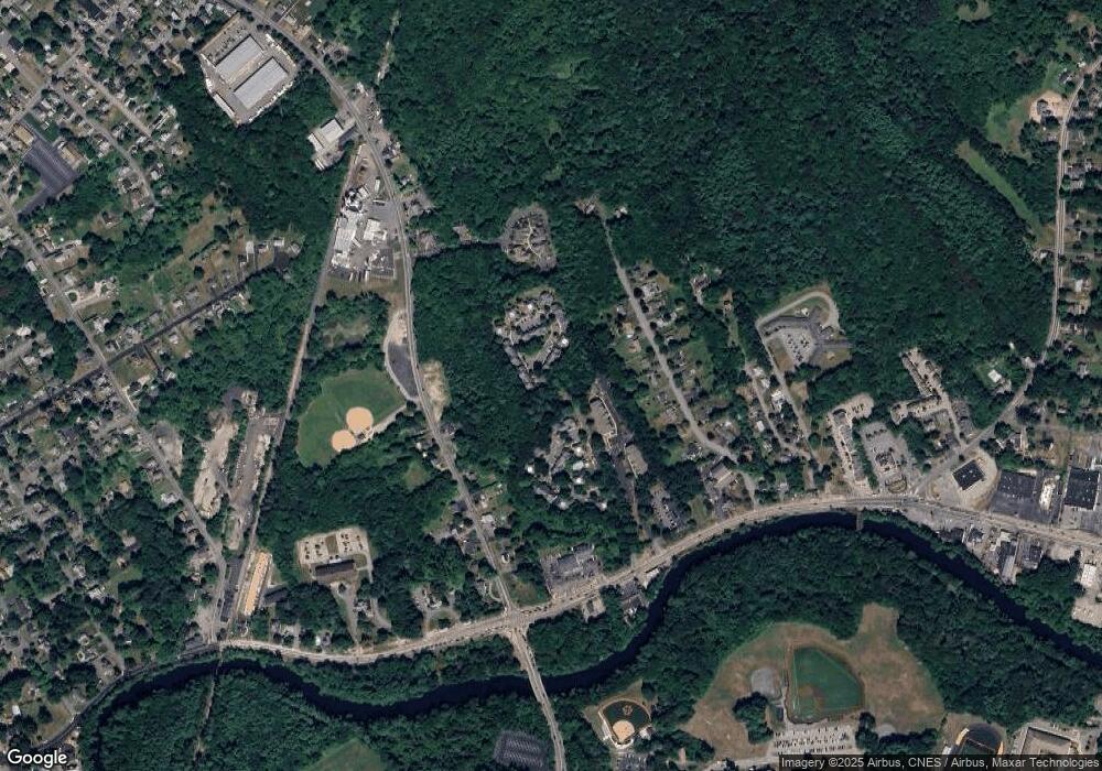
Map
Nearby Homes
- 110 Dean St Unit 102
- 215 Longmeadow Rd Unit 604
- 78 Arlington St Unit 2
- 78 Arlington St Unit 3
- 78 Arlington St Unit 1
- 0 S Main St Unit 73443212
- 30 Buffington St
- 12 Chestnut St Unit A
- 208 S Main St
- 222 Harris St
- 31 Church Green Unit 303
- 13 Benefit St
- 14 Wilbur St
- 152 Forgeriver
- 11 Williams St
- 37 Winter St
- 6 W Summer St
- 28 Barbara Rd
- 55 Donna Terrace
- 0, M64 L51 Knapp St
- 110 Dean St Unit 99
- 110 Dean St Unit 98
- 110 Dean St Unit 97
- 110 Dean St Unit 96
- 110 Dean St Unit 95
- 110 Dean St Unit 93
- 110 Dean St Unit 92
- 110 Dean St Unit 91
- 110 Dean St Unit 90
- 110 Dean St Unit 9
- 110 Dean St Unit 88
- 110 Dean St Unit 87
- 110 Dean St Unit 86
- 110 Dean St Unit 85
- 110 Dean St Unit 84
- 110 Dean St Unit 83
- 110 Dean St Unit 82
- 110 Dean St Unit 81
- 110 Dean St Unit 80
- 110 Dean St Unit 8