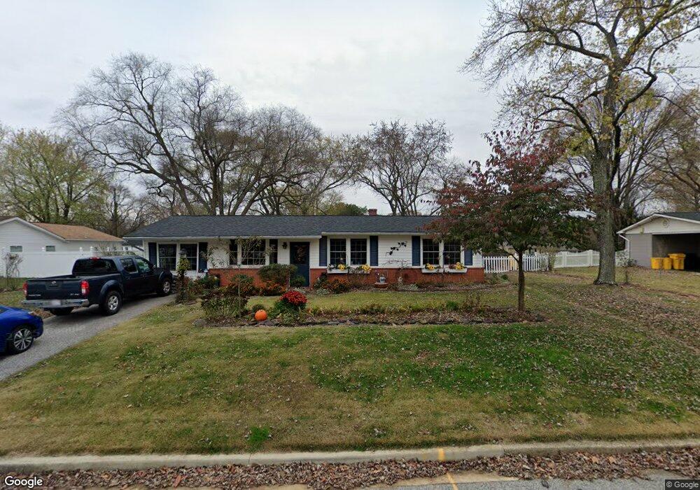
110 Denson Dr Severn, MD 21144
Estimated Value: $410,000 - $447,000
Studio
1
Bath
1,592
Sq Ft
$270/Sq Ft
Est. Value
About This Home
This home is located at 110 Denson Dr, Severn, MD 21144 and is currently estimated at $429,439, approximately $269 per square foot. 110 Denson Dr is a home located in Anne Arundel County with nearby schools including Severn Elementary School, Old Mill Middle School North, and Old Mill High School.
Ownership History
Date
Name
Owned For
Owner Type
Purchase Details
Closed on
Mar 21, 2017
Bought by
Matesic Jean
Current Estimated Value
Home Financials for this Owner
Home Financials are based on the most recent Mortgage that was taken out on this home.
Original Mortgage
$170,134
Outstanding Balance
$141,591
Interest Rate
4.3%
Estimated Equity
$287,848
Purchase Details
Closed on
Aug 11, 2014
Sold by
Matesic Jean M and Neville Jean M
Bought by
Matesic Jean M and Matesic Joseph C
Purchase Details
Closed on
Jun 17, 2005
Sold by
Harvey Ellwood S
Bought by
Neville Jean M
Home Financials for this Owner
Home Financials are based on the most recent Mortgage that was taken out on this home.
Original Mortgage
$18,498
Interest Rate
5.25%
Mortgage Type
Adjustable Rate Mortgage/ARM
Create a Home Valuation Report for This Property
The Home Valuation Report is an in-depth analysis detailing your home's value as well as a comparison with similar homes in the area
Home Values in the Area
Average Home Value in this Area
Purchase History
| Date | Buyer | Sale Price | Title Company |
|---|---|---|---|
| Matesic Jean | -- | -- | |
| Matesic Jean M | -- | None Available | |
| Neville Jean M | $231,223 | -- |
Source: Public Records
Mortgage History
| Date | Status | Borrower | Loan Amount |
|---|---|---|---|
| Open | Matesic Jean | $170,134 | |
| Closed | Matesic Jean | -- | |
| Previous Owner | Neville Jean M | $18,498 | |
| Previous Owner | Neville Jean M | $46,000 |
Source: Public Records
Tax History
| Year | Tax Paid | Tax Assessment Tax Assessment Total Assessment is a certain percentage of the fair market value that is determined by local assessors to be the total taxable value of land and additions on the property. | Land | Improvement |
|---|---|---|---|---|
| 2025 | $2,795 | $334,800 | $184,700 | $150,100 |
| 2024 | $2,795 | $311,900 | $0 | $0 |
| 2023 | $2,697 | $289,000 | $0 | $0 |
| 2022 | $2,501 | $266,100 | $159,200 | $106,900 |
| 2020 | $2,391 | $266,100 | $159,200 | $106,900 |
| 2019 | $2,363 | $269,300 | $174,700 | $94,600 |
| 2018 | $2,633 | $259,633 | $0 | $0 |
| 2017 | $2,178 | $249,967 | $0 | $0 |
| 2016 | -- | $240,300 | $0 | $0 |
| 2015 | -- | $216,367 | $0 | $0 |
| 2014 | -- | $192,433 | $0 | $0 |
Source: Public Records
Map
Nearby Homes
- 1012 Morgan Station Dr
- 7716 Dignity Way
- 7860 Telegraph Rd
- 1029 Ironwood Ln
- 1025 Ironwood Ln
- 900 S Wieker Rd
- 917 Reece Rd
- 7831 Wolf Run Ln
- 7428 Hawkins Dr
- 7425 Hawkins Dr
- 7830 Wolf Run Ln
- 7826 Wolf Run Ln
- 1422 Fairbanks Dr
- 7827 Clark Station Rd
- 7966 Foster Ave
- 1402 Valley Creek Rd
- 7967 Foster Ave
- 1217 Scattered Pines Ct
- 7633 Amos Ave
- 8020 Fair Breeze Dr
Your Personal Tour Guide
Ask me questions while you tour the home.