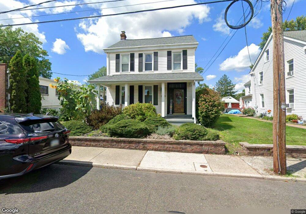
110 E Broad St Telford, PA 18964
Estimated Value: $380,000 - $430,000
3
Beds
2
Baths
2,093
Sq Ft
$190/Sq Ft
Est. Value
About This Home
This home is located at 110 E Broad St, Telford, PA 18964 and is currently estimated at $398,648, approximately $190 per square foot. 110 E Broad St is a home with nearby schools including E M Crouthamel Elementary School, Indian Crest Middle School, and Souderton Area Senior High School.
Ownership History
Date
Name
Owned For
Owner Type
Purchase Details
Closed on
Jan 28, 2025
Sold by
Joyce Katina Ann and Salerno Francis Albert
Bought by
Cherestal Sindy and Cherestal Natanael
Current Estimated Value
Home Financials for this Owner
Home Financials are based on the most recent Mortgage that was taken out on this home.
Original Mortgage
$372,135
Outstanding Balance
$369,898
Interest Rate
6.85%
Mortgage Type
FHA
Estimated Equity
$28,750
Purchase Details
Closed on
Jan 17, 2003
Sold by
Rivera Siefert Jean and Rivera Diane A
Bought by
Alleb Allebach Rodney L and Alleb Lynne Mcmullen
Create a Home Valuation Report for This Property
The Home Valuation Report is an in-depth analysis detailing your home's value as well as a comparison with similar homes in the area
Home Values in the Area
Average Home Value in this Area
Purchase History
| Date | Buyer | Sale Price | Title Company |
|---|---|---|---|
| Cherestal Sindy | $379,000 | None Listed On Document | |
| Alleb Allebach Rodney L | $171,000 | -- |
Source: Public Records
Mortgage History
| Date | Status | Borrower | Loan Amount |
|---|---|---|---|
| Open | Cherestal Sindy | $372,135 |
Source: Public Records
Tax History
| Year | Tax Paid | Tax Assessment Tax Assessment Total Assessment is a certain percentage of the fair market value that is determined by local assessors to be the total taxable value of land and additions on the property. | Land | Improvement |
|---|---|---|---|---|
| 2025 | $4,655 | $116,740 | $40,020 | $76,720 |
| 2024 | $4,655 | $116,740 | $40,020 | $76,720 |
| 2023 | $4,486 | $116,740 | $40,020 | $76,720 |
| 2022 | $4,890 | $116,740 | $40,020 | $76,720 |
| 2021 | $4,796 | $116,740 | $40,020 | $76,720 |
| 2020 | $4,732 | $116,740 | $40,020 | $76,720 |
| 2019 | $4,682 | $116,740 | $40,020 | $76,720 |
Source: Public Records
Map
Nearby Homes
- 208 E Broad St
- 13 S 4th St Unit 19
- 54 W Chestnut St
- 428 E Broad St
- 52 Hillside Ave
- 532 Lincoln Ave
- 44 Diamond St
- 20 N School Ln
- 216 W Cherry Ln Unit MAGNOLIA
- 216 W Cherry Ln Unit DEVONSHIRE
- 216 W Cherry Ln Unit ARCADIA
- 216 W Cherry Ln Unit COVINGTON
- 140 N County Line Rd
- 241 Diamond St
- 120 Fox Hunt Dr
- 12 Chatham Ct
- 13 Asheton Ln
- 171 Maidenhead Ct Unit 171
- 250 W Hamlin Ave
- 25 E Township Line Rd
Your Personal Tour Guide
Ask me questions while you tour the home.