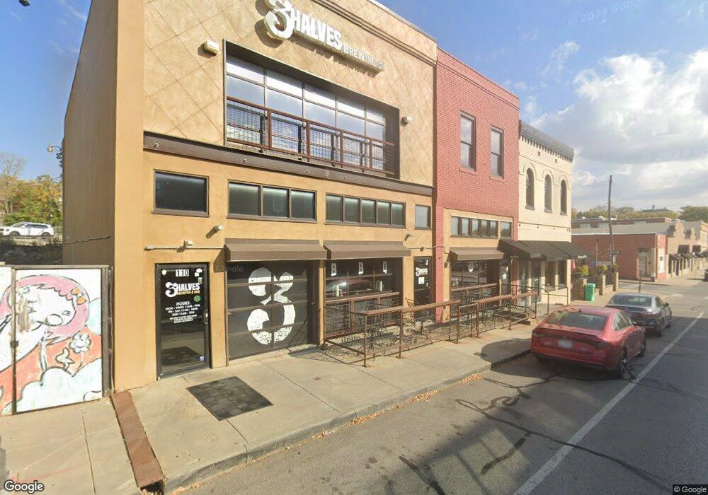
110 E Kansas St Liberty, MO 64068
Studio
--
Bath
4,600
Sq Ft
3,485
Sq Ft
About This Home
This home is located at 110 E Kansas St, Liberty, MO 64068. 110 E Kansas St is a home located in Clay County with nearby schools including Franklin Elementary School, Heritage Middle School, and Liberty North High School.
Ownership History
Date
Name
Owned For
Owner Type
Purchase Details
Closed on
Nov 2, 2023
Sold by
Hatcher Investments Llc
Bought by
R & B Liberty Llc
Home Financials for this Owner
Home Financials are based on the most recent Mortgage that was taken out on this home.
Original Mortgage
$497,000
Outstanding Balance
$487,803
Interest Rate
7.19%
Mortgage Type
New Conventional
Purchase Details
Closed on
Oct 8, 2021
Sold by
Hatcher Investments Llc
Bought by
Downtown Liberty Redevelopment
Purchase Details
Closed on
Sep 27, 2021
Sold by
Downtown Liberty Redevelopment Corporati
Bought by
Hatcher Investments
Purchase Details
Closed on
Jun 3, 2013
Sold by
Bedinger George Michael and Bedinger Anna
Bought by
Hatcher Investments Llc
Home Financials for this Owner
Home Financials are based on the most recent Mortgage that was taken out on this home.
Original Mortgage
$220,800
Interest Rate
3.43%
Mortgage Type
Future Advance Clause Open End Mortgage
Create a Home Valuation Report for This Property
The Home Valuation Report is an in-depth analysis detailing your home's value as well as a comparison with similar homes in the area
Home Values in the Area
Average Home Value in this Area
Purchase History
| Date | Buyer | Sale Price | Title Company |
|---|---|---|---|
| R & B Liberty Llc | -- | National Secured Title | |
| Downtown Liberty Redevelopment | -- | None Listed On Document | |
| Hatcher Investments | -- | Rouse Frets White Goss Gentile | |
| Hatcher Investments Llc | -- | Stewart Title Company |
Source: Public Records
Mortgage History
| Date | Status | Borrower | Loan Amount |
|---|---|---|---|
| Open | R & B Liberty Llc | $497,000 | |
| Previous Owner | Hatcher Investments Llc | $220,800 |
Source: Public Records
Tax History
| Year | Tax Paid | Tax Assessment Tax Assessment Total Assessment is a certain percentage of the fair market value that is determined by local assessors to be the total taxable value of land and additions on the property. | Land | Improvement |
|---|---|---|---|---|
| 2025 | $426 | $4,420 | -- | -- |
| 2024 | $426 | $4,420 | -- | -- |
| 2023 | $430 | $4,420 | $0 | $0 |
| 2022 | $441 | $4,420 | $0 | $0 |
| 2021 | $9,505 | $100,576 | $4,416 | $96,160 |
| 2020 | $10,788 | $103,460 | $0 | $0 |
| 2019 | $10,725 | $103,460 | $0 | $0 |
| 2018 | $10,981 | $103,460 | $0 | $0 |
| 2017 | $10,462 | $103,460 | $7,300 | $96,160 |
| 2016 | $10,189 | $101,540 | $7,300 | $94,240 |
| 2015 | $10,190 | $101,540 | $7,300 | $94,240 |
| 2014 | $2,961 | $29,320 | $7,300 | $22,020 |
Source: Public Records
Map
Nearby Homes
- 416 E Franklin St
- 245 N Main St
- 307 N Gallatin St
- 471 E Kansas St
- 435 Grover St
- 402 N Leonard St
- 114 S Jewell St
- 324 Harrison St
- 537 E Mill St
- 339 S Missouri St
- 316 E Doniphan St
- 425 Maple St
- 619 N Gallatin St
- 320 N Fairview Ave
- 427 N Fairview Ave
- 408 W Murray Rd
- 730 W College St
- 600 Izzy Way
- 336 Georgia Ct
- 813 S Main St
Your Personal Tour Guide
Ask me questions while you tour the home.