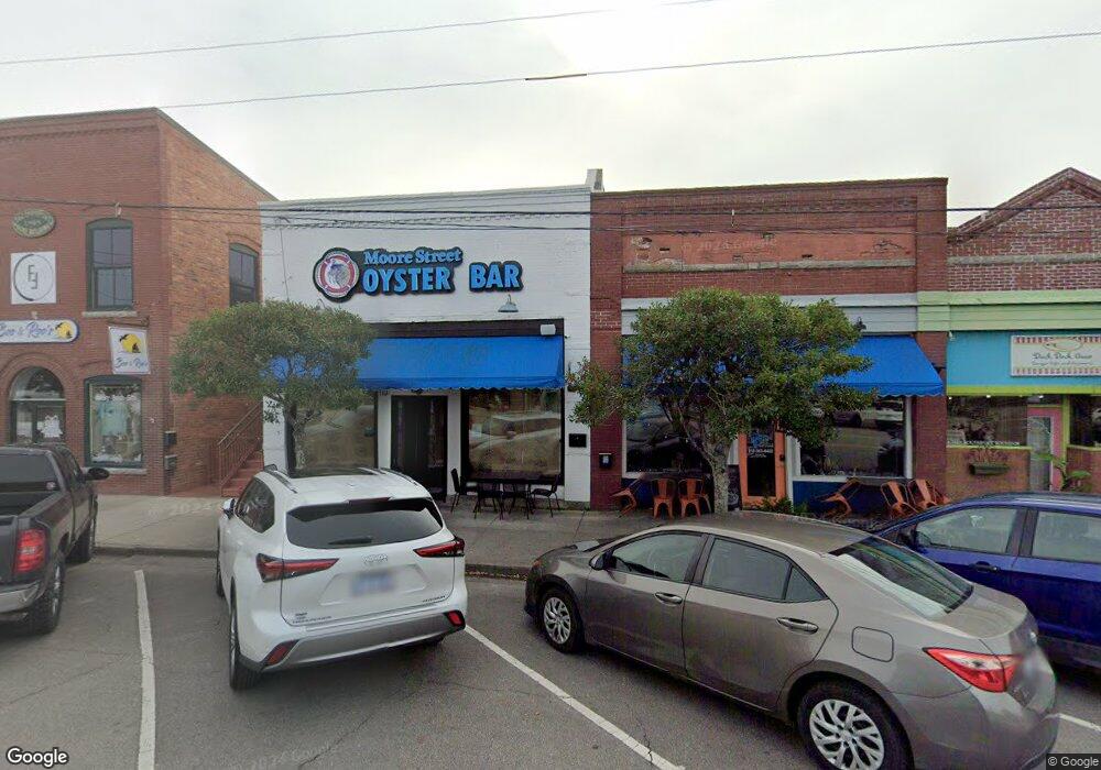
110 E Moore St Southport, NC 28461
Estimated Value: $1,700,576
Studio
--
Bath
2,614
Sq Ft
$651/Sq Ft
Est. Value
About This Home
This home is located at 110 E Moore St, Southport, NC 28461 and is currently estimated at $1,700,576, approximately $650 per square foot. 110 E Moore St is a home located in Brunswick County with nearby schools including Southport Elementary School, South Brunswick Middle School, and South Brunswick High School.
Ownership History
Date
Name
Owned For
Owner Type
Purchase Details
Closed on
Jun 5, 2017
Sold by
Landis Lands Llc
Bought by
Moore Oyster St Llc
Current Estimated Value
Purchase Details
Closed on
Sep 14, 2016
Sold by
Menna Daniel J and Menna Kelli A
Bought by
Landis Lands Llc
Purchase Details
Closed on
Apr 1, 1999
Bought by
Menna Daniel J Et Kelli A
Create a Home Valuation Report for This Property
The Home Valuation Report is an in-depth analysis detailing your home's value as well as a comparison with similar homes in the area
Home Values in the Area
Average Home Value in this Area
Purchase History
| Date | Buyer | Sale Price | Title Company |
|---|---|---|---|
| Moore Oyster St Llc | -- | None Available | |
| Landis Lands Llc | $825,000 | None Available | |
| Menna Daniel J Et Kelli A | $250,000 | -- |
Source: Public Records
Tax History
| Year | Tax Paid | Tax Assessment Tax Assessment Total Assessment is a certain percentage of the fair market value that is determined by local assessors to be the total taxable value of land and additions on the property. | Land | Improvement |
|---|---|---|---|---|
| 2025 | $4,968 | $660,090 | $319,680 | $340,410 |
| 2024 | $47 | $660,090 | $319,680 | $340,410 |
| 2023 | $4,550 | $660,090 | $319,680 | $340,410 |
| 2022 | $4,550 | $450,760 | $266,400 | $184,360 |
| 2021 | $3,974 | $450,760 | $266,400 | $184,360 |
| 2020 | $3,974 | $450,760 | $266,400 | $184,360 |
| 2019 | $3,974 | $266,400 | $266,400 | $0 |
| 2018 | $1,694 | $107,280 | $107,280 | $0 |
| 2017 | $1,669 | $107,280 | $107,280 | $0 |
| 2016 | $1,532 | $107,280 | $107,280 | $0 |
| 2015 | $1,532 | $172,890 | $107,280 | $65,610 |
| 2014 | $1,471 | $174,570 | $125,000 | $49,570 |
Source: Public Records
Map
Nearby Homes
- 306 E Bay St
- 210 W West St
- 401 West St
- 516 W Brunswick St
- 205 W Leonard St
- 600 W Brunswick St Unit 12
- 606 W Brown St Unit K
- 211 E Leonard St
- 608 W Brown St Unit F
- 610 N Caswell Ave
- 500 W Saint George St
- 511 W Saint George St
- 201 Clarendon Ave
- 510 W St George St
- 220 Willis Dr
- 411 Nicks Way Unit B
- 612 W Brown St Unit B
- 514 W Saint George St
- 702 E Moore St Unit 207
- 714 N Atlantic Ave
- 112 E Moore St
- 105 S Howe St
- 52 N Carolina 211
- 111 S Howe St
- 113 S Howe St
- 0 N Carolina 211
- 2200000250 N Carolina 211
- 63.22acres N Carolina 211
- 1364 Goldsboro Rd
- 1348 Goldsboro Rd
- 1141 Goldsboro Rd
- 1110 Goldsboro Rd
- 22 N Howe St
- 121 E Moore St
- 113 E Bay St
- 127 E Moore St
- 3 N Howe St
- 15 N Howe St
- 23 N Howe St
- 21 N Howe St
Your Personal Tour Guide
Ask me questions while you tour the home.