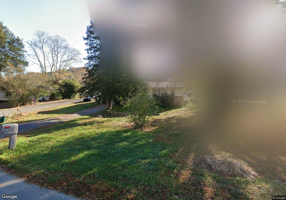
110 E Railroad Ave Mineral Bluff, GA 30559
Estimated Value: $131,000 - $388,000
--
Bed
--
Bath
1,000
Sq Ft
$247/Sq Ft
Est. Value
About This Home
This home is located at 110 E Railroad Ave, Mineral Bluff, GA 30559 and is currently estimated at $246,622, approximately $246 per square foot. 110 E Railroad Ave is a home with nearby schools including Fannin County High School.
Ownership History
Date
Name
Owned For
Owner Type
Purchase Details
Closed on
Mar 26, 2025
Sold by
Miller Carol Buchanan
Bought by
Miller Carolyn R and Miller Frank D
Current Estimated Value
Home Financials for this Owner
Home Financials are based on the most recent Mortgage that was taken out on this home.
Original Mortgage
$74,989
Outstanding Balance
$74,729
Interest Rate
6.76%
Mortgage Type
FHA
Estimated Equity
$171,893
Purchase Details
Closed on
Aug 19, 2009
Sold by
Buchanan Robert B
Bought by
Miller Carol Buchanan
Purchase Details
Closed on
Oct 5, 1988
Sold by
Buchanan Carolina J
Bought by
Buchanan Robert B
Create a Home Valuation Report for This Property
The Home Valuation Report is an in-depth analysis detailing your home's value as well as a comparison with similar homes in the area
Home Values in the Area
Average Home Value in this Area
Purchase History
| Date | Buyer | Sale Price | Title Company |
|---|---|---|---|
| Miller Carolyn R | -- | -- | |
| Miller Carol Buchanan | -- | -- | |
| Buchanan Robert B | -- | -- |
Source: Public Records
Mortgage History
| Date | Status | Borrower | Loan Amount |
|---|---|---|---|
| Open | Miller Carolyn R | $74,989 |
Source: Public Records
Tax History Compared to Growth
Tax History
| Year | Tax Paid | Tax Assessment Tax Assessment Total Assessment is a certain percentage of the fair market value that is determined by local assessors to be the total taxable value of land and additions on the property. | Land | Improvement |
|---|---|---|---|---|
| 2024 | $173 | $52,587 | $918 | $51,669 |
| 2023 | $427 | $41,927 | $918 | $41,009 |
| 2022 | $444 | $43,550 | $918 | $42,632 |
| 2021 | $359 | $25,612 | $918 | $24,694 |
| 2020 | $365 | $25,612 | $918 | $24,694 |
| 2019 | $170 | $11,712 | $918 | $10,794 |
| 2018 | $180 | $11,712 | $918 | $10,794 |
| 2017 | $207 | $11,712 | $918 | $10,794 |
| 2016 | $152 | $8,924 | $918 | $8,006 |
| 2015 | $158 | $8,924 | $918 | $8,006 |
| 2014 | $189 | $10,854 | $1,974 | $8,880 |
| 2013 | -- | $10,832 | $1,974 | $8,858 |
Source: Public Records
Map
Nearby Homes
- 330 Serenity Ridge Ln
- 21 Ac Bear Hollow Dr
- LT 1 Newberry Dr
- Lot 229 Kittatinny Dr
- Lot 75 Morgan Rd
- 105 Longview Terrace
- 126 Wawayanda Dr
- 91 Kittatinny Dr
- 1.18 Newberry Dr
- Lot 24 Crestview Point
- 8601 Lakewood Hwy
- 0 Murphy Hwy Unit 10469213
- 0 Murphy Hwy Unit 402757
- 00 State 60
- 60 Jackies Bluff
- 6874 Murphy Hwy
- 0 Lakewood Hwy Unit 10020686
- 0 Lakewood Hwy Unit 309290
- 0 State 60
- 0000 Spring St
- 0 Bridge St Unit 5 AC
- 0 Bridge St Unit 5 AC 8059758
- 0 Bridge St Unit 7276812
- 15 Bridge St
- 50 Bridge St
- 1 Bridge St
- 57 Spruce St
- 127 Murphy Hwy
- 36 E Railroad Ave
- 104 Murphy Hwy
- Tract 1 Murphy Hwy
- 40 Clement St
- 55 E Railroad Ave
- 39 Belgrade Ave
- 0 Mountain High Unit 76 8332917
- 0 Mountain High Unit 78 8332922
- 0 Mountain High Unit 51 8332912
- 0 Mountain High Unit LOT 55 2788300
- 0 Walnut Hills Estate Unit 2805447
- 0 Walnut Hills Estate Unit 2804923