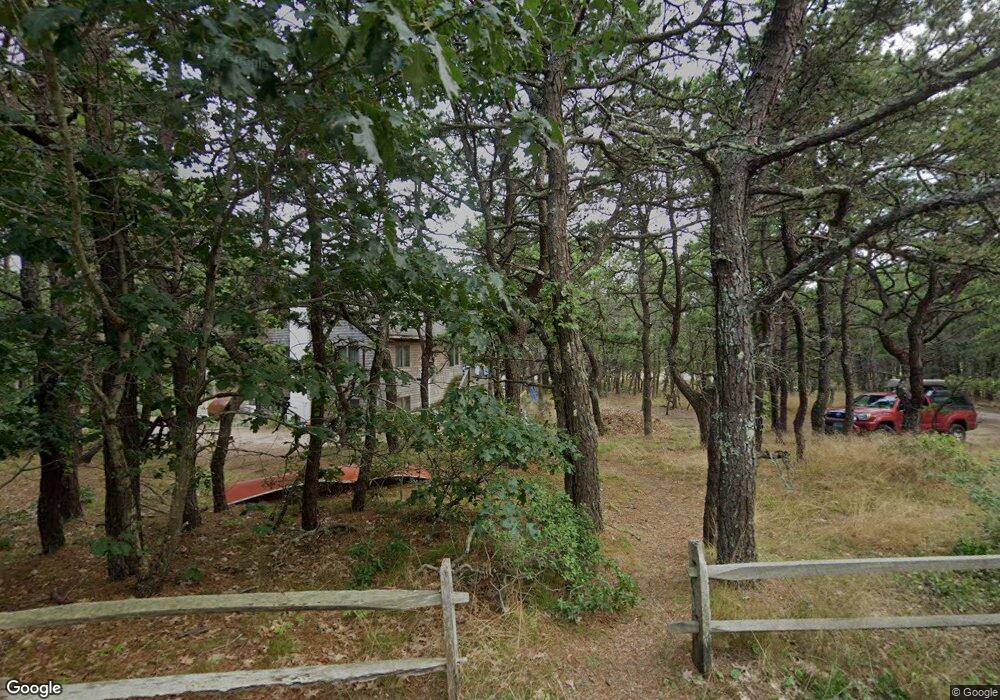
110 E St Wellfleet, MA 2667
Estimated Value: $932,423 - $1,403,000
3
Beds
1
Bath
1,803
Sq Ft
$622/Sq Ft
Est. Value
About This Home
This home is located at 110 E St, Wellfleet, MA 2667 and is currently estimated at $1,122,106, approximately $622 per square foot. 110 E St is a home located in Barnstable County with nearby schools including Wellfleet Elementary School, Nauset Regional Middle School, and Nauset Regional High School.
Create a Home Valuation Report for This Property
The Home Valuation Report is an in-depth analysis detailing your home's value as well as a comparison with similar homes in the area
Home Values in the Area
Average Home Value in this Area
Tax History
| Year | Tax Paid | Tax Assessment Tax Assessment Total Assessment is a certain percentage of the fair market value that is determined by local assessors to be the total taxable value of land and additions on the property. | Land | Improvement |
|---|---|---|---|---|
| 2025 | $6,641 | $934,100 | $506,000 | $428,100 |
| 2024 | $6,166 | $902,800 | $481,900 | $420,900 |
| 2023 | $5,436 | $781,100 | $408,400 | $372,700 |
| 2022 | $4,888 | $628,300 | $358,200 | $270,100 |
| 2021 | $4,411 | $561,200 | $319,800 | $241,400 |
| 2020 | $4,328 | $558,500 | $326,400 | $232,100 |
| 2019 | $4,234 | $547,700 | $326,400 | $221,300 |
| 2018 | $3,921 | $546,100 | $326,400 | $219,700 |
| 2017 | $3,674 | $541,900 | $326,400 | $215,500 |
| 2016 | $4,144 | $606,700 | $383,900 | $222,800 |
| 2015 | $3,244 | $478,500 | $260,000 | $218,500 |
Source: Public Records
Map
Nearby Homes
- 344 King Phillip Rd
- 45 Indian Neck Rd
- 1937 State Highway Route 6 Unit E
- 1937 State Highway Route 6 Unit E
- 345 Cove Rd
- 2032 State Hwy Rte 6 Unit F/ (6)
- 95 Old County Rd
- 30 Sam Hollow Rd
- 46 Spring Brook Rd
- 340 Salt Works Rd
- 49 Village Ln
- 175 Delphi Path
- 115 Wamsutta Rd
- 135 Marven Way
- 100 Gigi Ln
- 105 Howard Ct
- 164 Kendrick Ave Unit C
- 5470 State Hwy
- 30 Harbor View Cir
- 35 Holbrook Ave
Your Personal Tour Guide
Ask me questions while you tour the home.