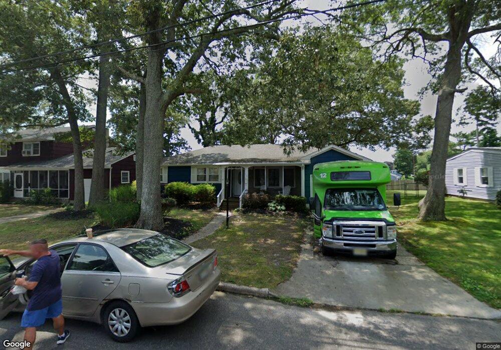
110 E Vernon Ave Northfield, NJ 08225
Estimated Value: $368,392 - $401,000
3
Beds
2
Baths
1,487
Sq Ft
$259/Sq Ft
Est. Value
About This Home
This home is located at 110 E Vernon Ave, Northfield, NJ 08225 and is currently estimated at $385,098, approximately $258 per square foot. 110 E Vernon Ave is a home located in Atlantic County with nearby schools including Northfield Community Elementary School, Northfield Community Middle School, and Mainland Regional High School.
Ownership History
Date
Name
Owned For
Owner Type
Purchase Details
Closed on
Jun 4, 2008
Sold by
Poley Doris A
Bought by
Bennett William and Bennett Paulina
Current Estimated Value
Home Financials for this Owner
Home Financials are based on the most recent Mortgage that was taken out on this home.
Original Mortgage
$196,000
Outstanding Balance
$126,158
Interest Rate
6.11%
Mortgage Type
Purchase Money Mortgage
Estimated Equity
$258,940
Purchase Details
Closed on
May 31, 2000
Sold by
Resnick Paul D and Resnick Robin L
Bought by
Poley Doris A
Home Financials for this Owner
Home Financials are based on the most recent Mortgage that was taken out on this home.
Original Mortgage
$125,900
Interest Rate
8.12%
Mortgage Type
Purchase Money Mortgage
Purchase Details
Closed on
Nov 21, 1988
Sold by
Fessler John W and Fessler Janet T
Bought by
Resnick Paul D and Resnick Robin L
Create a Home Valuation Report for This Property
The Home Valuation Report is an in-depth analysis detailing your home's value as well as a comparison with similar homes in the area
Home Values in the Area
Average Home Value in this Area
Purchase History
| Date | Buyer | Sale Price | Title Company |
|---|---|---|---|
| Bennett William | $245,000 | Foundation Title | |
| Poley Doris A | $139,900 | The Title Company | |
| Resnick Paul D | $111,500 | -- |
Source: Public Records
Mortgage History
| Date | Status | Borrower | Loan Amount |
|---|---|---|---|
| Open | Bennett William | $196,000 | |
| Previous Owner | Poley Doris A | $125,900 |
Source: Public Records
Tax History Compared to Growth
Tax History
| Year | Tax Paid | Tax Assessment Tax Assessment Total Assessment is a certain percentage of the fair market value that is determined by local assessors to be the total taxable value of land and additions on the property. | Land | Improvement |
|---|---|---|---|---|
| 2025 | $6,286 | $175,000 | $64,600 | $110,400 |
| 2024 | $6,286 | $175,000 | $64,600 | $110,400 |
| 2023 | $6,111 | $175,000 | $64,600 | $110,400 |
| 2022 | $6,111 | $175,000 | $64,600 | $110,400 |
| 2021 | $6,046 | $175,000 | $64,600 | $110,400 |
| 2020 | $6,069 | $175,000 | $64,600 | $110,400 |
| 2019 | $5,966 | $175,000 | $64,600 | $110,400 |
| 2018 | $5,859 | $175,000 | $64,600 | $110,400 |
| 2017 | $5,665 | $175,000 | $64,600 | $110,400 |
| 2016 | $5,439 | $175,000 | $64,600 | $110,400 |
| 2015 | $5,364 | $175,000 | $64,600 | $110,400 |
| 2014 | $5,072 | $175,000 | $64,600 | $110,400 |
Source: Public Records
Map
Nearby Homes
- 108 E Vernon Ave
- 41 E Vernon Ave
- 102 E Glencove Ave
- 605 Shore Rd
- 301 Wabash Ave
- 2320 Shepherd Dr
- 1907 Merritt Dr
- 104 W Poplar Ave
- 110 W Poplar Ave
- 803 Shore Rd
- 309 Haines Ave
- 1801 Tilton Rd
- 550 Central Ave Unit B1
- 550 Central Ave Unit G-16 Constitution Ct
- 550 Central Ave Unit E-14
- 550 Central Ave Unit I-7
- 1611 Shore Rd
- 550 G-16 Central Ave
- 608 Revere Ave
- 19 Locust Dr
- 112 E Vernon Ave
- 114 E Vernon Ave
- 107 Carol Rd
- 105 Carol Rd
- 127 E Vernon Ave
- 129 E Vernon Ave
- 2801 Gail Ave
- 119 E Vernon Ave
- 131 E Vernon Ave
- 1 Gail Ave
- 106 E Vernon Ave
- 109 Carol Rd
- 117 E Vernon Ave
- 108 Carol Rd
- 116 E Oakcrest Ave
- 120 E Oakcrest Ave
- 111 E Vernon Ave
- 135 E Vernon Ave
- 2800 Gail Ave
- 114 E Oakcrest Ave