110 Fernald Point Rd Southwest Harbor, ME 04679
Estimated Value: $844,000 - $4,281,000
3
Beds
2
Baths
1,365
Sq Ft
$2,083/Sq Ft
Est. Value
About This Home
This home is located at 110 Fernald Point Rd, Southwest Harbor, ME 04679 and is currently estimated at $2,843,152, approximately $2,082 per square foot. 110 Fernald Point Rd is a home located in Hancock County with nearby schools including Pemetic Elementary School and Mt. Desert Island High School.
Ownership History
Date
Name
Owned For
Owner Type
Purchase Details
Closed on
Jan 4, 2024
Sold by
Susan Dreier T and Susan Dreier
Bought by
Kohler Michael and Haaland Lynn
Current Estimated Value
Home Financials for this Owner
Home Financials are based on the most recent Mortgage that was taken out on this home.
Original Mortgage
$1,300,000
Outstanding Balance
$1,276,395
Interest Rate
7.29%
Mortgage Type
Purchase Money Mortgage
Estimated Equity
$1,566,757
Purchase Details
Closed on
Apr 13, 2007
Sold by
Captains Cottage Llc
Bought by
Dreier Susan
Create a Home Valuation Report for This Property
The Home Valuation Report is an in-depth analysis detailing your home's value as well as a comparison with similar homes in the area
Home Values in the Area
Average Home Value in this Area
Purchase History
| Date | Buyer | Sale Price | Title Company |
|---|---|---|---|
| Kohler Michael | $3,750,000 | None Available | |
| Dreier Susan | -- | -- |
Source: Public Records
Mortgage History
| Date | Status | Borrower | Loan Amount |
|---|---|---|---|
| Open | Kohler Michael | $1,300,000 |
Source: Public Records
Tax History Compared to Growth
Tax History
| Year | Tax Paid | Tax Assessment Tax Assessment Total Assessment is a certain percentage of the fair market value that is determined by local assessors to be the total taxable value of land and additions on the property. | Land | Improvement |
|---|---|---|---|---|
| 2024 | $30,988 | $3,435,500 | $2,987,800 | $447,700 |
| 2023 | $28,019 | $1,723,200 | $1,562,100 | $161,100 |
| 2022 | $25,331 | $1,723,200 | $1,562,100 | $161,100 |
| 2021 | $25,262 | $1,723,200 | $1,562,100 | $161,100 |
| 2020 | $24,797 | $1,723,200 | $1,562,100 | $161,100 |
| 2019 | $24,039 | $1,723,200 | $1,562,100 | $161,100 |
| 2018 | $23,470 | $1,723,200 | $1,562,100 | $161,100 |
| 2017 | $22,160 | $1,723,200 | $1,562,100 | $161,100 |
| 2016 | $1,536 | $1,723,200 | $1,562,100 | $161,100 |
| 2015 | $22,160 | $1,723,200 | $1,562,100 | $161,100 |
| 2014 | -- | $1,723,200 | $1,562,100 | $161,100 |
| 2013 | -- | $1,723,200 | $1,562,100 | $161,100 |
Source: Public Records
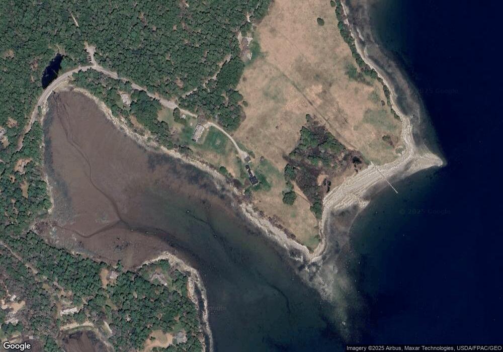
Map
Nearby Homes
- 00 Fernald Point Rd
- 14 Seal Cove Rd
- 77 Manchester Rd
- 16 Long Pond Rd
- 25 Long Pond Rd
- 17 Freeman Ridge Rd
- 65 Summit Rd
- 3 and 5 Graves Lane Harbor NE
- 120 Clark Point Rd
- 16 Millbrook-Northeast Harbor Rd
- 49 Summit Rd
- 30 Neighborhood Rd
- 6 Gilpatrick Ln
- 6 Sea St
- 109 Freeman Ridge Rd
- 142 Seal Cove Rd
- 471 Main St
- 10 Robinson Ln Unit 18
- 87 Peabody Drive (Northeast Hrbr)
- 4 Highlands (Northeast Hrbr) Ln
- 67A Fernald Point Rd
- 59 Fernal Point Rd
- 59 Fernald Point Rd
- 55 Fernald Point Rd
- 64 Fernald Point Rd
- 12 Connor Point Ln
- 66 Fernald Point Rd
- 16 Indian Brook Rd
- 11 Connor Point Ln
- 74 Fernald Point Rd
- 58 Fernald Point Rd
- 30 Connor Point Ln
- 53 Fernald Point Rd
- 103C Indian Brook Rd
- 28 Indian Brook Rd
- 75 Fernald Point Rd
- 46 Fernald Point Rd
- 56 Fernald Point Rd
- 47 Fernald Point Rd
- 48 Fernald Point Rd